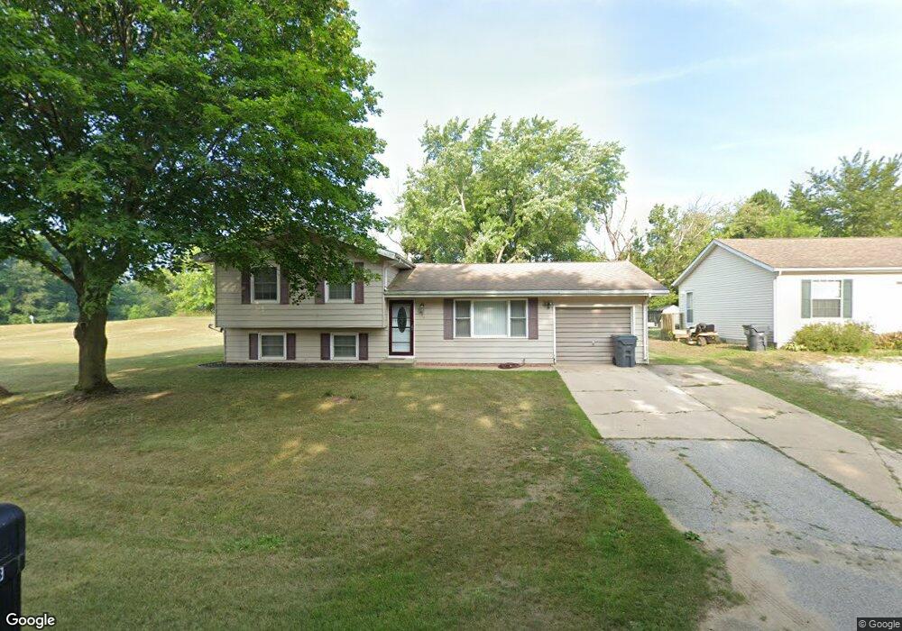
7438 Aumack Dr Eau Claire, MI 49111
Estimated Value: $175,074 - $266,000
4
Beds
2
Baths
1,440
Sq Ft
$149/Sq Ft
Est. Value
About This Home
This home is located at 7438 Aumack Dr, Eau Claire, MI 49111 and is currently estimated at $214,269, approximately $148 per square foot. 7438 Aumack Dr is a home located in Berrien County with nearby schools including Lybrook Elementary School, Eau Claire Middle School, and Eau Claire High School.
Ownership History
Date
Name
Owned For
Owner Type
Purchase Details
Closed on
Feb 23, 2025
Sold by
Mast William Lloyd and Mast Tina Lee
Bought by
Mast William Lloyd and Mast Alyssa Evelyn
Current Estimated Value
Purchase Details
Closed on
May 26, 2015
Sold by
Mast William L and Mast Tina L
Bought by
Mast William L and Mast Tina L
Purchase Details
Closed on
May 29, 2009
Sold by
Mast Jill Pierce and Pierce Jill
Bought by
Mast William L
Purchase Details
Closed on
Aug 13, 2003
Sold by
Dohm Patrick K
Bought by
Pierce Jill
Home Financials for this Owner
Home Financials are based on the most recent Mortgage that was taken out on this home.
Original Mortgage
$21,000
Interest Rate
5.69%
Mortgage Type
Unknown
Purchase Details
Closed on
Jun 19, 2001
Purchase Details
Closed on
Sep 23, 1987
Purchase Details
Closed on
Sep 28, 1978
Create a Home Valuation Report for This Property
The Home Valuation Report is an in-depth analysis detailing your home's value as well as a comparison with similar homes in the area
Purchase History
| Date | Buyer | Sale Price | Title Company |
|---|---|---|---|
| Mast William Lloyd | -- | None Listed On Document | |
| Mast William Lloyd | -- | None Listed On Document | |
| Mast William L | -- | Attorney | |
| Mast William L | -- | Metropolitan Title Company | |
| Mast William L | $107,000 | Metropolitan Title Company | |
| Pierce Jill | $99,500 | -- | |
| -- | -- | -- | |
| -- | -- | -- | |
| -- | $32,900 | -- |
Source: Public Records
Mortgage History
| Date | Status | Borrower | Loan Amount |
|---|---|---|---|
| Previous Owner | Pierce Jill | $21,000 |
Source: Public Records
Tax History
| Year | Tax Paid | Tax Assessment Tax Assessment Total Assessment is a certain percentage of the fair market value that is determined by local assessors to be the total taxable value of land and additions on the property. | Land | Improvement |
|---|---|---|---|---|
| 2025 | $927 | $68,400 | $0 | $0 |
| 2024 | $1,459 | $57,000 | $0 | $0 |
| 2023 | $1,390 | $52,300 | $0 | $0 |
| 2022 | $1,324 | $44,700 | $0 | $0 |
| 2021 | $1,497 | $41,500 | $5,900 | $35,600 |
| 2020 | $1,478 | $40,900 | $0 | $0 |
| 2019 | $1,456 | $39,500 | $5,500 | $34,000 |
Source: Public Records
Map
Nearby Homes
- 6175 Aubill Dr
- VL Staley Rd
- VL Old Pipestone Rd
- 6555 Pipestone St
- 6627 E Berrien St
- 7937 Hochberger Rd
- 7349 E Main St
- 4837 Greenfield Dr
- 7450 Deans Hill Rd
- 8974 Michigan 140
- 5494 Old Pipestone Rd
- 308 S Mechanic St
- 312 N Cass St
- 4511 Oxbow Rd
- 305 S Main St
- 436 S Main St
- 201 S Harrison St
- 317 S Harrison St
- 449 W Ferry St
- 4495 Oxbow Rd
- 7428 Aumack Dr
- 7448 Aumack Dr
- 7418 Aumack Dr
- 7447 Aumack Dr
- 7427 Aumack Dr
- 6318 Porter Dr
- 7408 Aumack Dr
- 7398 Aumack Dr
- 14 Porter Dr
- 0 Porter Dr
- 6315 Porter Dr
- 6340 Porter Dr
- 7378 Aumack Dr
- 6333 Porter Dr
- 6332 W Berrien St
- 6322 W Berrien St
- 6356 Porter Dr
- 7368 Aumack Dr
- 7444 Taylor St
- 6349 Porter Dr
Your Personal Tour Guide
Ask me questions while you tour the home.