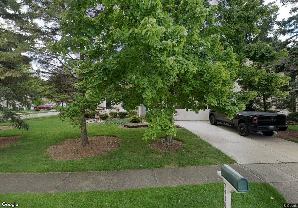
7438 Silverleaf Ct Columbus, OH 43235
Brookside Colony NeighborhoodEstimated Value: $395,693 - $445,000
About This Home
This home is located at 7438 Silverleaf Ct, Columbus, OH 43235 and is currently estimated at $411,673, approximately $253 per square foot. 7438 Silverleaf Ct is a home located in Franklin County with nearby schools including Indian Run Elementary School, Ann Simpson Davis Middle School, and Dublin Scioto High School.
Ownership History
We collect this data history from publicly available records. To have your information removed, we recommend requesting removal directly through your county’s website.
Purchase Details
Purchase Details
Home Values in the Area
Average Home Value in this Area
Purchase History
We collect this data history from publicly available records. To have your information removed, we recommend requesting removal directly through your county’s website.
| Date | Buyer | Sale Price | Title Company |
|---|---|---|---|
| $212,000 | Title First | ||
| -- | -- |
Tax History
We collect this data history from publicly available records. To have your information removed, we recommend requesting removal directly through your county’s website.
| Year | Tax Paid | Tax Assessment Tax Assessment Total Assessment is a certain percentage of the fair market value that is determined by local assessors to be the total taxable value of land and additions on the property. | Land | Improvement |
|---|---|---|---|---|
| 2025 | $6,664 | $110,180 | $36,750 | $73,430 |
| 2024 | $6,664 | $110,180 | $36,750 | $73,430 |
| 2023 | $6,570 | $110,180 | $36,750 | $73,430 |
| 2022 | $6,324 | $98,560 | $24,430 | $74,130 |
| 2021 | $6,427 | $98,560 | $24,430 | $74,130 |
| 2020 | $6,388 | $98,560 | $24,430 | $74,130 |
| 2019 | $5,976 | $81,630 | $20,340 | $61,290 |
| 2018 | $5,485 | $81,630 | $20,340 | $61,290 |
| 2017 | $5,517 | $81,630 | $20,340 | $61,290 |
| 2016 | $4,939 | $68,640 | $17,640 | $51,000 |
| 2015 | $4,970 | $68,640 | $17,640 | $51,000 |
| 2014 | $4,975 | $68,640 | $17,640 | $51,000 |
| 2013 | $2,525 | $68,635 | $17,640 | $50,995 |
Map
- 2368 Dunsworth Dr
- 6831 Pine Bark Ln
- 2097 Thistlewood Dr
- 7406 Cimmaron Station Unit 7406
- 2468 Timberside Dr
- 7060 Cloverdale Ln
- 1953 Slaton Ct
- 2481 Timbers Edge Ln Unit 2481
- 2001 Sawbury Blvd Unit 2001
- 2546 Timberside Dr Unit 2546
- 7571 Tina Ct
- 7647 Smoketree Ct
- 7687 Foxboro Ct
- 2472 Dunstan Dr
- 6847 Mcvey Blvd
- 2074 Hard Rd
- 7735 Schoolway Ct
- 7847 Meadowhaven Blvd Unit 66
- 7853 Meadowhaven Blvd Unit 63
- 6886 Lakebrook Blvd
- 7430 Silverleaf Ct
- 7425 Palmleaf Ln
- 7417 Palmleaf Ln
- 7422 Silverleaf Ct
- 2300 Starleaf Ln
- 2310 Starleaf Ln
- 7441 Silverleaf Ct
- 7433 Silverleaf Ct
- 2294 Starleaf Ln
- 2318 Starleaf Ln
- 7411 Palmleaf Ln
- 2286 Starleaf Ln
- 2326 Starleaf Ln
- 7425 Silverleaf Ct
- 7414 Silverleaf Ct
- 7403 Palmleaf Ln
- 2283 Starleaf Ln
- 2331 Starleaf Ln
- 7451 Mapleleaf Ct
- 7459 Mapleleaf Ct
Ask me questions while you tour the home.