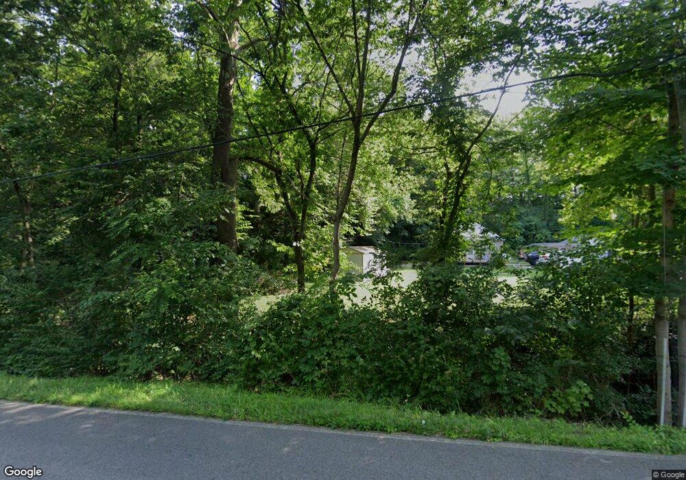
7439 Michael Rd Middletown, OH 45042
Madison Township NeighborhoodEstimated Value: $228,000 - $369,000
5
Beds
3
Baths
2,077
Sq Ft
$151/Sq Ft
Est. Value
About This Home
This home is located at 7439 Michael Rd, Middletown, OH 45042 and is currently estimated at $314,195, approximately $151 per square foot. 7439 Michael Rd is a home located in Butler County with nearby schools including Madison High School.
Ownership History
Date
Name
Owned For
Owner Type
Purchase Details
Closed on
Jan 5, 2022
Sold by
Wills James R and Wills Ann Mary
Bought by
Stillwell James W
Current Estimated Value
Home Financials for this Owner
Home Financials are based on the most recent Mortgage that was taken out on this home.
Original Mortgage
$235,653
Outstanding Balance
$215,876
Interest Rate
3.12%
Mortgage Type
FHA
Estimated Equity
$98,319
Purchase Details
Closed on
Dec 14, 1994
Sold by
Cales Edward R
Bought by
Wills James R and Wills Mary A
Create a Home Valuation Report for This Property
The Home Valuation Report is an in-depth analysis detailing your home's value as well as a comparison with similar homes in the area
Home Values in the Area
Average Home Value in this Area
Purchase History
| Date | Buyer | Sale Price | Title Company |
|---|---|---|---|
| Stillwell James W | $240,000 | Wave Title | |
| Wills James R | $40,000 | -- |
Source: Public Records
Mortgage History
| Date | Status | Borrower | Loan Amount |
|---|---|---|---|
| Open | Stillwell James W | $235,653 |
Source: Public Records
Tax History Compared to Growth
Tax History
| Year | Tax Paid | Tax Assessment Tax Assessment Total Assessment is a certain percentage of the fair market value that is determined by local assessors to be the total taxable value of land and additions on the property. | Land | Improvement |
|---|---|---|---|---|
| 2025 | $4,586 | $110,260 | $17,730 | $92,530 |
| 2024 | $4,586 | $110,260 | $17,730 | $92,530 |
| 2023 | $4,553 | $110,260 | $17,730 | $92,530 |
| 2022 | $3,389 | $70,290 | $17,730 | $52,560 |
| 2021 | $3,043 | $70,290 | $17,730 | $52,560 |
| 2020 | $3,165 | $70,290 | $17,730 | $52,560 |
| 2019 | $3,422 | $59,100 | $17,730 | $41,370 |
| 2018 | $2,875 | $59,100 | $17,730 | $41,370 |
| 2017 | $2,860 | $59,100 | $17,730 | $41,370 |
| 2016 | $3,370 | $57,140 | $17,730 | $39,410 |
| 2015 | $2,894 | $57,140 | $17,730 | $39,410 |
| 2014 | $3,355 | $69,330 | $28,930 | $40,400 |
| 2013 | $3,355 | $56,830 | $28,930 | $27,900 |
Source: Public Records
Map
Nearby Homes
- 5800 Trenton Franklin Rd
- 6526 Diver Ln
- 6503 Niderdale Way
- 489 Emerson Rd
- 640 Hill St
- 1020 Middletown Eaton Rd
- 881 Middletown Eaton Rd
- 5251 Trenton Franklin Rd
- 429 Leichty Ave
- 433 Leichty Ave
- 1100 Hughes St
- 1800 Germantown Rd
- 1721 Germantown Rd
- 805 Mary Etta St
- 817 Elwood St
- 718 Elwood St
- 1812 Carroll Ave
- 708 Auburn St
- 224 Yankee Rd
- 1321 1st Ave
- 7471 Michael Rd
- 7421 Michael Rd
- 7455 Michael Rd
- 1 Michael Rd
- 79 Michael Rd
- 7461 Michael Rd
- 7447 Michael Rd
- 7479 Michael Rd
- 7417 Michael Rd
- 7448 Michael Rd
- 7449 Michael Rd
- 7434 Michael Rd
- 7460 Michael Rd
- 7489 Michael Rd
- 0 Michael Rd Unit 1285873
- 0 Michael Rd Unit 1333879
- 0 Michael Rd Unit 1355310
- 0 Michael Rd Unit 904042
- 0 Michael Rd Unit 1651820
- 0 Michael Rd Unit 810626
