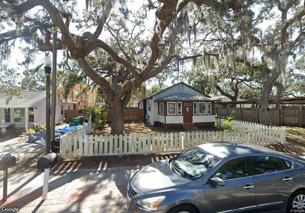
744 2nd St N Safety Harbor, FL 34695
Estimated Value: $392,670 - $475,000
--
Bed
--
Bath
800
Sq Ft
$531/Sq Ft
Est. Value
About This Home
This home is located at 744 2nd St N, Safety Harbor, FL 34695 and is currently estimated at $425,168, approximately $531 per square foot. 744 2nd St N is a home located in Pinellas County with nearby schools including Safety Harbor Elementary School, Countryside High School, and Safety Harbor Middle School.
Ownership History
Date
Name
Owned For
Owner Type
Purchase Details
Closed on
Mar 31, 2021
Sold by
Callahan Cheryl
Bought by
Callahan Cheryl B and Cheryl E Callahan Revocable Tr
Current Estimated Value
Purchase Details
Closed on
Jul 26, 2019
Sold by
Clark Malcolm G and Clark Martha R
Bought by
Callahan Cheryl
Purchase Details
Closed on
Feb 26, 2002
Sold by
Munro Stub R and Munro Connie
Bought by
Clark Malcolm G and Clark Martha R
Home Financials for this Owner
Home Financials are based on the most recent Mortgage that was taken out on this home.
Original Mortgage
$60,040
Interest Rate
7.02%
Mortgage Type
New Conventional
Create a Home Valuation Report for This Property
The Home Valuation Report is an in-depth analysis detailing your home's value as well as a comparison with similar homes in the area
Home Values in the Area
Average Home Value in this Area
Purchase History
| Date | Buyer | Sale Price | Title Company |
|---|---|---|---|
| Callahan Cheryl B | -- | Attorney | |
| Callahan Cheryl | $264,900 | Legal Title Exchange Inc | |
| Clark Malcolm G | $16,400 | -- |
Source: Public Records
Mortgage History
| Date | Status | Borrower | Loan Amount |
|---|---|---|---|
| Previous Owner | Clark Malcolm G | $60,040 |
Source: Public Records
Tax History Compared to Growth
Tax History
| Year | Tax Paid | Tax Assessment Tax Assessment Total Assessment is a certain percentage of the fair market value that is determined by local assessors to be the total taxable value of land and additions on the property. | Land | Improvement |
|---|---|---|---|---|
| 2024 | $5,437 | $376,899 | $306,717 | $70,182 |
| 2023 | $5,437 | $355,072 | $318,555 | $36,517 |
| 2022 | $4,732 | $282,123 | $254,579 | $27,544 |
| 2021 | $4,419 | $241,238 | $0 | $0 |
| 2020 | $4,209 | $226,517 | $0 | $0 |
| 2019 | $3,286 | $197,840 | $162,041 | $35,799 |
| 2018 | $2,881 | $159,865 | $0 | $0 |
| 2017 | $2,595 | $135,634 | $0 | $0 |
| 2016 | $2,391 | $122,490 | $0 | $0 |
| 2015 | $2,266 | $114,035 | $0 | $0 |
| 2014 | $2,189 | $118,881 | $0 | $0 |
Source: Public Records
Map
Nearby Homes
- 839 3rd St N
- 3113 State Unit 580 413
- 946 Main St
- 238 7th Ave S
- 241 5th Ave N
- 1005 Main St
- 360 10th Ave S
- 603 5th St S
- 1066 3rd St N
- 1085 3rd St N
- 422 Mapleway
- 323 2nd St S
- 1111 Dr M L King Jr St N
- 249 Iron Age St
- 231 2nd St S Unit 201
- 123 2nd Ave S
- 413 S Bayshore Blvd Unit 5
- 915 Woodbridge Ct
- 930 Woodbridge Ct
- 932 Woodbridge Ct
- 734 2nd St N
- 146 8th Ave N
- 706 2nd St N
- 737 Main St
- 705 2nd St N
- 716 2nd St N
- 735 2nd St N
- 717 2nd St N
- 737 2nd St N
- 801 Main St
- 715 2nd St N
- 809 Main St
- 801 2nd St N Unit D
- 801 2nd St N Unit E
- 801 2nd St N Unit B
- 801 2nd St N Unit F
- 801 2nd St N Unit A
- 801 2nd St N Unit C
- 224 8th Ave N Unit 226
- 224 8th Ave N Unit 224