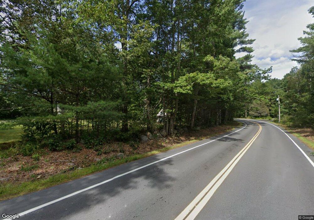
Estimated Value: $760,000 - $900,000
3
Beds
2
Baths
2,276
Sq Ft
$371/Sq Ft
Est. Value
About This Home
This home is located at 744 Branch Rd, Wells, ME 04090 and is currently estimated at $844,996, approximately $371 per square foot. 744 Branch Rd is a home located in York County with nearby schools including Wells Elementary School, Wells Junior High School, and Wells High School.
Ownership History
Date
Name
Owned For
Owner Type
Purchase Details
Closed on
Oct 23, 2014
Sold by
Raso John A
Bought by
Stpierre Huguette M
Current Estimated Value
Create a Home Valuation Report for This Property
The Home Valuation Report is an in-depth analysis detailing your home's value as well as a comparison with similar homes in the area
Home Values in the Area
Average Home Value in this Area
Purchase History
| Date | Buyer | Sale Price | Title Company |
|---|---|---|---|
| Stpierre Huguette M | -- | -- |
Source: Public Records
Tax History
| Year | Tax Paid | Tax Assessment Tax Assessment Total Assessment is a certain percentage of the fair market value that is determined by local assessors to be the total taxable value of land and additions on the property. | Land | Improvement |
|---|---|---|---|---|
| 2024 | $4,665 | $767,270 | $196,570 | $570,700 |
| 2023 | $4,573 | $767,270 | $196,570 | $570,700 |
| 2022 | $6,029 | $576,350 | $89,310 | $487,040 |
| 2021 | $6,063 | $576,350 | $56,190 | $520,160 |
| 2020 | $6,040 | $576,350 | $89,310 | $487,040 |
| 2019 | $6,006 | $576,350 | $89,310 | $487,040 |
| 2018 | $5,732 | $555,390 | $89,310 | $466,080 |
| 2017 | $5,643 | $555,390 | $89,310 | $466,080 |
| 2016 | $5,587 | $555,390 | $89,310 | $466,080 |
| 2015 | $2,787 | $280,110 | $89,310 | $190,800 |
| 2013 | $2,143 | $234,980 | $89,310 | $145,670 |
Source: Public Records
Map
Nearby Homes
- 00 Farm View Ln
- 1007 Branch Rd
- Lot 4 Cider Press Ln
- 222 Hobbs Farm Rd Unit Lot 9
- 222 Hobbs Farm Rd Unit Lot 6
- 222 Hobbs Farm Rd Unit Lot 10
- 222 Hobbs Farm Rd Unit Lot 7
- 222 Hobbs Farm Rd Unit Lot 8
- 41 Baker Rd
- 44 Baker Rd
- 46 Baker Rd
- 42 Baker Rd Unit 42
- 42 Baker Rd
- 38 Baker Rd
- 38 Baker Rd Unit 38
- 557 Coles Hill Rd
- 77 Clark Rd
- 44 Grand Trail Dr Unit 44
- Lot #11B Sanford Rd
- lot 3 Lydias Cir
- 768 Branch Rd
- 710 Branch Rd
- 731 Branch Rd
- 765 Branch Rd
- 747 Branch Rd
- 790 Branch Rd
- 721 Branch Rd
- 806 Branch Rd
- 818 Branch Rd
- 691 Branch Rd
- 202 Waters Edge Dr
- 92 Birch Farm Way
- 33 Birch Farm Way
- 104 Birch Farm Way
- 95 Birch Farm Way
- 39 Birch Farm Way
- 24 Ritas Way
- 182 Waters Edge Dr
- 190 Waters Edge Dr
- 148 Waters Edge Dr
Your Personal Tour Guide
Ask me questions while you tour the home.
