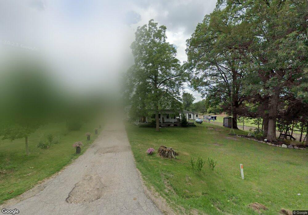
744 E Brogan Rd Hastings, MI 49058
Estimated Value: $360,000 - $560,000
3
Beds
2
Baths
2,496
Sq Ft
$187/Sq Ft
Est. Value
About This Home
This home is located at 744 E Brogan Rd, Hastings, MI 49058 and is currently estimated at $466,832, approximately $187 per square foot. 744 E Brogan Rd is a home located in Barry County with nearby schools including Hastings High School.
Ownership History
Date
Name
Owned For
Owner Type
Purchase Details
Closed on
Dec 29, 2022
Sold by
Raber Andrew B
Bought by
Raber Andrew B and Raber Sadie M
Current Estimated Value
Purchase Details
Closed on
Oct 1, 2010
Sold by
Easey Tommy Allen and Easey Cheryl
Bought by
Raber Andrew B and Raber Sadie M
Home Financials for this Owner
Home Financials are based on the most recent Mortgage that was taken out on this home.
Original Mortgage
$120,000
Interest Rate
4.36%
Mortgage Type
New Conventional
Create a Home Valuation Report for This Property
The Home Valuation Report is an in-depth analysis detailing your home's value as well as a comparison with similar homes in the area
Home Values in the Area
Average Home Value in this Area
Purchase History
| Date | Buyer | Sale Price | Title Company |
|---|---|---|---|
| Raber Andrew B | -- | -- | |
| Raber Andrew B | $160,000 | Michigan Bankers Title Of We |
Source: Public Records
Mortgage History
| Date | Status | Borrower | Loan Amount |
|---|---|---|---|
| Previous Owner | Raber Andrew B | $120,000 |
Source: Public Records
Tax History Compared to Growth
Tax History
| Year | Tax Paid | Tax Assessment Tax Assessment Total Assessment is a certain percentage of the fair market value that is determined by local assessors to be the total taxable value of land and additions on the property. | Land | Improvement |
|---|---|---|---|---|
| 2025 | $3,123 | $235,200 | $0 | $0 |
| 2024 | $3,123 | $196,700 | $0 | $0 |
| 2023 | $2,777 | $149,000 | $0 | $0 |
| 2022 | $2,777 | $149,000 | $0 | $0 |
| 2021 | $2,777 | $148,900 | $0 | $0 |
| 2020 | $2,777 | $140,100 | $0 | $0 |
| 2019 | $2,777 | $129,400 | $0 | $0 |
| 2018 | $0 | $121,100 | $45,700 | $75,400 |
| 2017 | $0 | $122,900 | $0 | $0 |
| 2016 | -- | $104,600 | $0 | $0 |
| 2015 | -- | $101,500 | $0 | $0 |
| 2014 | -- | $101,500 | $0 | $0 |
Source: Public Records
Map
Nearby Homes
- 6120 S M 37 Hwy
- 0 Hickory Hill Ln Unit 25038602
- 1810 W Brogan Rd
- 3275 S M 37 Hwy
- 3103 Roush Rd
- 0 Michigan 79 Unit 25022518
- V/L Michigan 79
- 641 W Quimby Rd
- 1625 Secluded Acres Dr
- 2880 E Cloverdale Rd
- 7350 Cedar Creek Rd
- V/L 3131 Shultz Rd
- Parcel B Maple Grove Rd
- 2101 Maple Ln
- 8475 Gurd Rd
- VL Cedar Creek Rd
- 3261 River Ln
- 9163 Elderberry Ln
- V/L Lammers Rd
- Parc D Sager Rd
- 817 E Brogan Rd
- 595 E Brogan Rd
- 1002 E Brogan Rd
- 5583 Creekhill Dr
- 5695 Creekhill Dr
- 5400 S M 37 Hwy
- 355 E Brogan Rd
- 5786 Creekhill Dr
- 1206 E Brogan Rd
- 279 E Brogan Rd
- 231 E Brogan Rd
- 5832 Creekhill Dr
- 1324 E Brogan Rd
- 5220 S M 37 Hwy
- 5290 S M 37 Hwy
- 5584 McOmber Trail
- 190 E Brogan Rd
- 180 E Brogan Rd
- 5290 Michigan 37
- 5131 S Broadway Rd