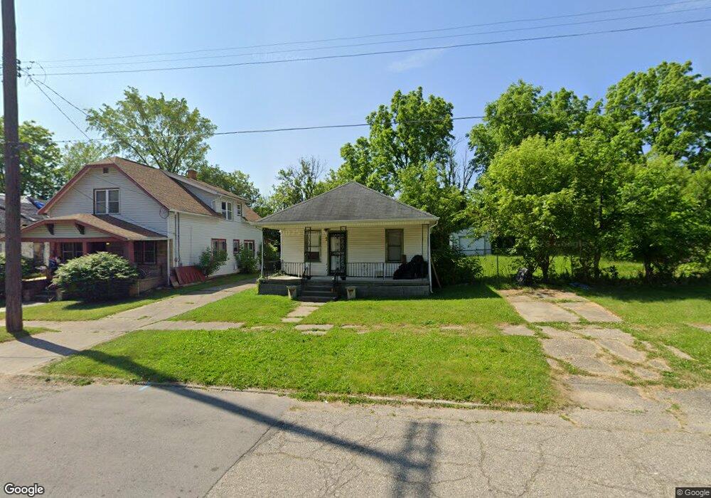
744 Edmund St Flint, MI 48505
King Avenue Plus NeighborhoodEstimated Value: $33,000 - $63,727
3
Beds
1
Bath
960
Sq Ft
$51/Sq Ft
Est. Value
About This Home
This home is located at 744 Edmund St, Flint, MI 48505 and is currently estimated at $48,909, approximately $50 per square foot. 744 Edmund St is a home located in Genesee County with nearby schools including Brownell STEM Academy, The New Standard Academy, and Flint Cultural Center Academy.
Ownership History
Date
Name
Owned For
Owner Type
Purchase Details
Closed on
Nov 14, 2019
Sold by
Muhammad Johnny
Bought by
Supreme Gold Llc
Current Estimated Value
Purchase Details
Closed on
Jan 8, 2018
Sold by
Genesee Countylandbank
Bought by
Muhammad Johnny
Purchase Details
Closed on
Dec 20, 2016
Sold by
Cherry Deborah L
Bought by
Genesee County Land Bank
Purchase Details
Closed on
Mar 18, 2014
Sold by
Fuller Floyd
Bought by
Fuller Floyd and Lane Ariel B
Purchase Details
Closed on
Jun 26, 2008
Sold by
Boddie James and Boddie Lela
Bought by
Fuller Floyd
Create a Home Valuation Report for This Property
The Home Valuation Report is an in-depth analysis detailing your home's value as well as a comparison with similar homes in the area
Home Values in the Area
Average Home Value in this Area
Purchase History
| Date | Buyer | Sale Price | Title Company |
|---|---|---|---|
| Supreme Gold Llc | -- | None Available | |
| Muhammad Johnny | $2,100 | None Available | |
| Genesee County Land Bank | -- | None Available | |
| Fuller Floyd | -- | None Available | |
| Fuller Floyd | -- | None Available |
Source: Public Records
Tax History Compared to Growth
Tax History
| Year | Tax Paid | Tax Assessment Tax Assessment Total Assessment is a certain percentage of the fair market value that is determined by local assessors to be the total taxable value of land and additions on the property. | Land | Improvement |
|---|---|---|---|---|
| 2025 | $578 | $11,300 | $0 | $0 |
| 2024 | $548 | $9,200 | $0 | $0 |
| 2023 | $546 | $5,700 | $0 | $0 |
| 2022 | $0 | $4,600 | $0 | $0 |
| 2021 | $547 | $4,400 | $0 | $0 |
| 2020 | $517 | $3,800 | $0 | $0 |
| 2019 | $539 | $4,100 | $0 | $0 |
| 2018 | $221 | $0 | $0 | $0 |
| 2017 | $527 | $0 | $0 | $0 |
| 2016 | $404 | $0 | $0 | $0 |
| 2015 | $0 | $0 | $0 | $0 |
| 2014 | -- | $0 | $0 | $0 |
| 2012 | -- | $4,800 | $0 | $0 |
Source: Public Records
Map
Nearby Homes
- 4028 North St
- 606 Damon St
- 613 E van Wagoner Ave
- 418 Damon St
- 733 Black Ave
- 638 E Pasadena Ave
- 370 E Moore St
- 3810 Marvin St
- 313 Edwin Ave
- 0 E Marengo Ave Unit 50166417
- 3506 Esther St
- 618 E Pulaski Ave
- 680 E Pierson Rd
- 726 E Parkway Ave
- 124 W Flint Park Blvd
- 618 E Parkway Ave
- 218 E Jackson Ave
- 200 W Mcclellan St
- 2913 Martin Luther King Ave
- 2913