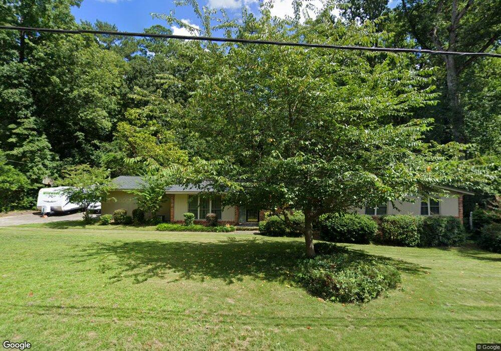
744 Lancaster Rd Augusta, GA 30909
Lake Aumond NeighborhoodEstimated Value: $289,000 - $352,000
4
Beds
3
Baths
2,280
Sq Ft
$143/Sq Ft
Est. Value
About This Home
This home is located at 744 Lancaster Rd, Augusta, GA 30909 and is currently estimated at $325,227, approximately $142 per square foot. 744 Lancaster Rd is a home located in Richmond County with nearby schools including Lake Forest Hills Elementary School, Tutt Middle School, and Johnson Magnet.
Ownership History
Date
Name
Owned For
Owner Type
Purchase Details
Closed on
Oct 8, 2001
Sold by
Kanpp Agnes W
Bought by
Cleary Donald L and Cleary Mary M
Current Estimated Value
Home Financials for this Owner
Home Financials are based on the most recent Mortgage that was taken out on this home.
Original Mortgage
$134,900
Outstanding Balance
$50,447
Interest Rate
6.89%
Estimated Equity
$274,780
Purchase Details
Closed on
Nov 30, 1999
Sold by
Duncan Ronald T and Duncan Lynn H
Bought by
Knapp Agnes W
Home Financials for this Owner
Home Financials are based on the most recent Mortgage that was taken out on this home.
Original Mortgage
$35,000
Interest Rate
7.94%
Purchase Details
Closed on
Feb 1, 1984
Create a Home Valuation Report for This Property
The Home Valuation Report is an in-depth analysis detailing your home's value as well as a comparison with similar homes in the area
Home Values in the Area
Average Home Value in this Area
Purchase History
| Date | Buyer | Sale Price | Title Company |
|---|---|---|---|
| Cleary Donald L | $142,000 | -- | |
| Knapp Agnes W | $135,500 | -- | |
| -- | $135,500 | -- | |
| -- | $94,900 | -- |
Source: Public Records
Mortgage History
| Date | Status | Borrower | Loan Amount |
|---|---|---|---|
| Open | Cleary Donald L | $134,900 | |
| Previous Owner | -- | $35,000 |
Source: Public Records
Tax History
| Year | Tax Paid | Tax Assessment Tax Assessment Total Assessment is a certain percentage of the fair market value that is determined by local assessors to be the total taxable value of land and additions on the property. | Land | Improvement |
|---|---|---|---|---|
| 2025 | $1,294 | $106,289 | $16,000 | $90,289 |
| 2024 | $1,294 | $120,016 | $16,000 | $104,016 |
| 2023 | $1,369 | $117,588 | $16,000 | $101,588 |
| 2022 | $1,488 | $110,459 | $16,000 | $94,459 |
| 2021 | $1,385 | $90,186 | $16,000 | $74,186 |
| 2020 | $1,288 | $81,060 | $15,840 | $65,220 |
| 2019 | $1,351 | $81,060 | $15,840 | $65,220 |
| 2018 | $1,385 | $83,190 | $15,840 | $67,350 |
| 2017 | $2,904 | $83,190 | $15,840 | $67,350 |
| 2016 | $2,975 | $83,190 | $15,840 | $67,350 |
| 2015 | $2,927 | $83,190 | $15,840 | $67,350 |
| 2014 | $2,921 | $82,881 | $15,840 | $67,041 |
Source: Public Records
Map
Nearby Homes
- 750 Lancaster Rd
- 601 Wellesley Dr
- 608 Aumond Rd
- 3075 Walton Way
- 3071 Walton Way
- 603 Trafalgar Ln
- 568 Martin Ln
- 565 Martin Ln
- 704 Summergate Ct
- 552 Whitehead Dr
- 3118 Exeter Rd
- 3012 Langford Dr
- 3125 Exeter Rd
- 3123 Exeter Rd
- 5 Prather Woods Ln
- 778 Camellia Rd
- 629 Canterbury Dr
- 802 Camellia Rd
- 3030 Walton Way
- 3120 Edinburgh Dr
- 746 Lancaster Rd
- 742 Lancaster Rd
- 745 Lancaster Rd
- 747 Lancaster Rd
- 137 Mayfair Abbey Ln
- 743 Lancaster Rd
- 748 Lancaster Rd
- 3108 Vassar Dr
- 740 Lancaster Rd
- 749 Lancaster Rd
- 3106 Vassar Dr
- 3112 Vassar Dr
- 721 Malvern Ln
- 738 Oxford Rd
- 740 Oxford Rd
- 736 Oxford Rd
- 3104 Vassar Dr
- 742 Mcclure Dr
- 742 Oxford Rd
- 744 Mcclure Dr
Your Personal Tour Guide
Ask me questions while you tour the home.