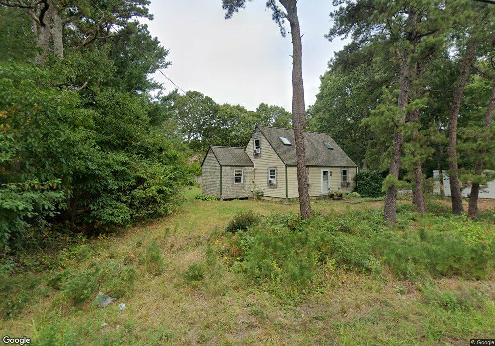
744 Old Barnstable Rd East Falmouth, MA 02536
Hatchville NeighborhoodEstimated Value: $525,038 - $622,000
3
Beds
1
Bath
1,501
Sq Ft
$376/Sq Ft
Est. Value
About This Home
This home is located at 744 Old Barnstable Rd, East Falmouth, MA 02536 and is currently estimated at $564,510, approximately $376 per square foot. 744 Old Barnstable Rd is a home located in Barnstable County with nearby schools including North Falmouth Elementary School, Morse Pond School, and Lawrence School.
Ownership History
Date
Name
Owned For
Owner Type
Purchase Details
Closed on
Aug 25, 1998
Sold by
Lewis Robert M
Bought by
Broyer Marla M
Current Estimated Value
Home Financials for this Owner
Home Financials are based on the most recent Mortgage that was taken out on this home.
Original Mortgage
$88,100
Outstanding Balance
$18,283
Interest Rate
6.86%
Mortgage Type
Purchase Money Mortgage
Estimated Equity
$546,227
Purchase Details
Closed on
Apr 15, 1994
Sold by
Goldrick James F and Goldrick Sheila M
Bought by
Lewis Robert M
Home Financials for this Owner
Home Financials are based on the most recent Mortgage that was taken out on this home.
Original Mortgage
$72,000
Interest Rate
7.45%
Mortgage Type
Purchase Money Mortgage
Create a Home Valuation Report for This Property
The Home Valuation Report is an in-depth analysis detailing your home's value as well as a comparison with similar homes in the area
Home Values in the Area
Average Home Value in this Area
Purchase History
| Date | Buyer | Sale Price | Title Company |
|---|---|---|---|
| Broyer Marla M | $98,000 | -- | |
| Broyer Marla M | $98,000 | -- | |
| Lewis Robert M | $90,000 | -- | |
| Lewis Robert M | $90,000 | -- |
Source: Public Records
Mortgage History
| Date | Status | Borrower | Loan Amount |
|---|---|---|---|
| Open | Lewis Robert M | $88,100 | |
| Closed | Lewis Robert M | $88,100 | |
| Previous Owner | Lewis Robert M | $72,000 |
Source: Public Records
Tax History Compared to Growth
Tax History
| Year | Tax Paid | Tax Assessment Tax Assessment Total Assessment is a certain percentage of the fair market value that is determined by local assessors to be the total taxable value of land and additions on the property. | Land | Improvement |
|---|---|---|---|---|
| 2025 | $2,605 | $443,700 | $202,700 | $241,000 |
| 2024 | $2,532 | $403,200 | $183,400 | $219,800 |
| 2023 | $2,567 | $370,900 | $183,400 | $187,500 |
| 2022 | $2,129 | $264,500 | $115,400 | $149,100 |
| 2021 | $2,049 | $241,000 | $110,400 | $130,600 |
| 2020 | $1,984 | $231,000 | $100,400 | $130,600 |
| 2019 | $1,749 | $204,300 | $100,400 | $103,900 |
| 2018 | $1,735 | $201,700 | $100,400 | $101,300 |
| 2017 | $1,692 | $198,400 | $100,400 | $98,000 |
| 2016 | $1,618 | $193,300 | $100,400 | $92,900 |
| 2015 | $1,583 | $193,300 | $100,400 | $92,900 |
| 2014 | $1,526 | $187,200 | $94,900 | $92,300 |
Source: Public Records
Map
Nearby Homes
- 4 Nancy Ave
- 55 Cape Woods Dr
- 184 Monhegan Rd
- 30 Twin Hill Rd
- 533 Old Barnstable Rd
- 191 James Cir
- 211 James Cir
- 571 Carriage Shop Rd Unit E
- 571 Carriage Shop Rd Unit 571EU
- 4 Florence Ave
- 45 Pond Cir
- 54 Sassacus Rd
- 409 Currier Rd
- 28 Shepard Place
- 83 Pond Cir
- 136 Ashumet Rd
- 746 Carriage Shop Rd
- 746 Carriage Shop Rd
- 39 Rolling Acres Ln
- 84 Hooppole Rd
- 740 Old Barnstable Rd
- 21 Pinehurst Rd
- 15 Pinehurst Rd
- 193 Kompass Dr
- 743 Old Barnstable Rd
- 739 Old Barnstable Rd
- 27 Pinehurst Rd
- 5 Pinehurst Rd
- 726 Old Barnstable Rd
- 4 Odonnell Ave
- 735 Old Barnstable Rd
- 187 Kompass Dr
- 760 Old Barnstable Rd
- 757 Old Barnstable Rd
- 33 Pinehurst Rd
- 11 Odonnell Ave
- 18 Pinehurst Rd
- 7 Elain Ave
- 729 Old Barnstable Rd
- 12 Odonnell Ave