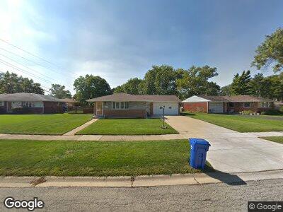
744 Shawn Ln Des Plaines, IL 60016
Estimated Value: $346,000 - $409,000
3
Beds
2
Baths
1,203
Sq Ft
$325/Sq Ft
Est. Value
About This Home
This home is located at 744 Shawn Ln, Des Plaines, IL 60016 and is currently estimated at $391,546, approximately $325 per square foot. 744 Shawn Ln is a home located in Cook County with nearby schools including Brentwood Elementary School, Friendship Jr High School, and Elk Grove High School.
Ownership History
Date
Name
Owned For
Owner Type
Purchase Details
Closed on
Oct 8, 1999
Sold by
Declarati Geanconteri Jr Mariano
Bought by
Soesbe Daniel and Soesbe Patricia
Current Estimated Value
Home Financials for this Owner
Home Financials are based on the most recent Mortgage that was taken out on this home.
Original Mortgage
$190,550
Interest Rate
7.9%
Purchase Details
Closed on
Apr 18, 1997
Sold by
Geanconteri Virginia
Bought by
Declarati Geanconteri Virginia and Virginia Geanconteri Declaration Of Tr
Create a Home Valuation Report for This Property
The Home Valuation Report is an in-depth analysis detailing your home's value as well as a comparison with similar homes in the area
Home Values in the Area
Average Home Value in this Area
Purchase History
| Date | Buyer | Sale Price | Title Company |
|---|---|---|---|
| Soesbe Daniel | $201,000 | Chicago Title Insurance Co | |
| Declarati Geanconteri Virginia | -- | -- |
Source: Public Records
Mortgage History
| Date | Status | Borrower | Loan Amount |
|---|---|---|---|
| Closed | Soesbe Daniel J | $35,000 | |
| Closed | Soesbe Daniel | $35,000 | |
| Closed | Soesbe Daniel | $200,000 | |
| Closed | Soesbe Daniel | $190,000 | |
| Closed | Soesbe Daniel | $190,550 |
Source: Public Records
Tax History Compared to Growth
Tax History
| Year | Tax Paid | Tax Assessment Tax Assessment Total Assessment is a certain percentage of the fair market value that is determined by local assessors to be the total taxable value of land and additions on the property. | Land | Improvement |
|---|---|---|---|---|
| 2024 | $6,756 | $31,308 | $8,824 | $22,484 |
| 2023 | $6,756 | $31,308 | $8,824 | $22,484 |
| 2022 | $6,756 | $31,308 | $8,824 | $22,484 |
| 2021 | $5,795 | $24,186 | $5,882 | $18,304 |
| 2020 | $5,730 | $24,186 | $5,882 | $18,304 |
| 2019 | $5,796 | $26,874 | $5,882 | $20,992 |
| 2018 | $6,065 | $25,138 | $4,902 | $20,236 |
| 2017 | $5,971 | $25,138 | $4,902 | $20,236 |
| 2016 | $5,844 | $25,138 | $4,902 | $20,236 |
| 2015 | $5,519 | $22,652 | $4,411 | $18,241 |
| 2014 | $5,472 | $22,652 | $4,411 | $18,241 |
| 2013 | $5,340 | $22,652 | $4,411 | $18,241 |
Source: Public Records
Map
Nearby Homes
- 1030 Horne Terrace
- 567 W Dempster St
- 1048 Marshall Dr
- 884 Arnold Ct
- 857 Beau Dr Unit 9
- 901 S Westgate Rd
- 920 Beau Dr Unit 108
- 410 Dorothy Dr
- 940 Beau Dr Unit 111
- 229 Leahy Cir S
- 161 E Thacker St
- 240 Springfield Terrace
- 1224 S Mount Prospect Rd
- 200 Marshall Dr
- 1272 Andrea Ln
- 745 Dulles Rd Unit C
- 220 E Washington St
- 500 W Huntington Commons Rd Unit 152
- 502 W Huntington Commons Rd Unit 136
- 237 S Radcliffe Ave