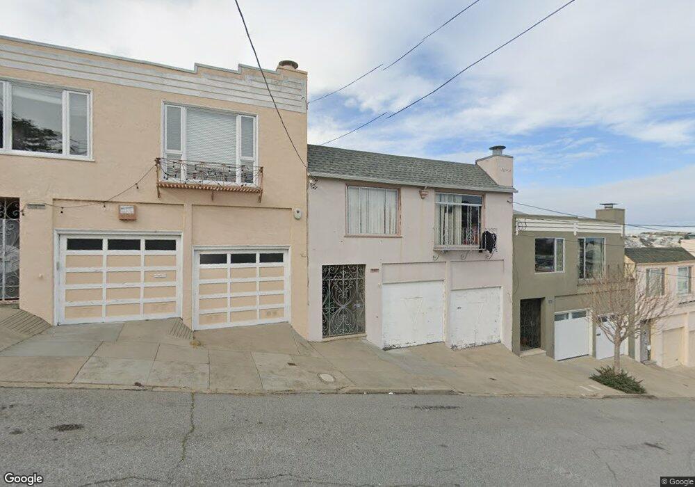
744 Wayland St San Francisco, CA 94134
Portola NeighborhoodEstimated Value: $992,000 - $1,096,000
2
Beds
1
Bath
1,232
Sq Ft
$847/Sq Ft
Est. Value
About This Home
This home is located at 744 Wayland St, San Francisco, CA 94134 and is currently estimated at $1,042,957, approximately $846 per square foot. 744 Wayland St is a home located in San Francisco County with nearby schools including Edward R. Taylor Elementary, King Jr. (Martin Luther) Academic Middle School, and Alta Vista School.
Ownership History
Date
Name
Owned For
Owner Type
Purchase Details
Closed on
Jun 26, 1995
Sold by
Digino Marie
Bought by
Weng Wei Xiong and Weng Su Zhen
Current Estimated Value
Home Financials for this Owner
Home Financials are based on the most recent Mortgage that was taken out on this home.
Original Mortgage
$140,000
Interest Rate
7.42%
Create a Home Valuation Report for This Property
The Home Valuation Report is an in-depth analysis detailing your home's value as well as a comparison with similar homes in the area
Home Values in the Area
Average Home Value in this Area
Purchase History
| Date | Buyer | Sale Price | Title Company |
|---|---|---|---|
| Weng Wei Xiong | $215,000 | Old Republic Title Company |
Source: Public Records
Mortgage History
| Date | Status | Borrower | Loan Amount |
|---|---|---|---|
| Closed | Weng Wei Xiong | $140,000 |
Source: Public Records
Tax History Compared to Growth
Tax History
| Year | Tax Paid | Tax Assessment Tax Assessment Total Assessment is a certain percentage of the fair market value that is determined by local assessors to be the total taxable value of land and additions on the property. | Land | Improvement |
|---|---|---|---|---|
| 2025 | $5,025 | $375,982 | $167,934 | $208,048 |
| 2024 | $5,025 | $368,612 | $164,642 | $203,970 |
| 2023 | $4,940 | $361,386 | $161,414 | $199,972 |
| 2022 | $4,830 | $354,304 | $158,250 | $196,054 |
| 2021 | $4,738 | $347,360 | $155,148 | $192,212 |
| 2020 | $4,777 | $343,802 | $153,558 | $190,244 |
| 2019 | $4,616 | $337,064 | $150,548 | $186,516 |
| 2018 | $4,460 | $330,458 | $147,598 | $182,860 |
| 2017 | $4,108 | $323,980 | $144,704 | $179,276 |
| 2016 | $4,015 | $317,630 | $141,868 | $175,762 |
| 2015 | $3,962 | $312,862 | $139,738 | $173,124 |
| 2014 | $3,858 | $306,738 | $137,002 | $169,736 |
Source: Public Records
Map
Nearby Homes
- 548 Burrows St
- 406 Goettingen St
- 1162 Bowdoin St
- 920 Felton St
- 107 Dwight St
- 180 Princeton St
- 1316 Bowdoin St
- 1029 Silver Ave
- 120 Princeton St
- 819 Brussels St
- 2931 San Bruno Ave
- 3101 San Bruno Ave
- 153 Silliman St
- 46 Dartmouth St
- 2626 San Bruno Ave
- 50 University St
- 38 Colby St
- 248 Ordway St
- 420 Harkness Ave
- 1830 Egbert Ave
- 738 Wayland St
- 750 Wayland St
- 875 Bowdoin St
- 732 Wayland St
- 726 Wayland St
- 861 Bowdoin St
- 490 Hamilton St
- 478 Hamilton St
- 470 Hamilton St
- 851 Bowdoin St
- 460 Hamilton St
- 839 Bowdoin St
- 450 Hamilton St
- 833 Bowdoin St
- 436 Hamilton St
- 827 Bowdoin St
- 424 Hamilton St
- 770 Woolsey St
- 475 Hamilton St
- 469 Hamilton St