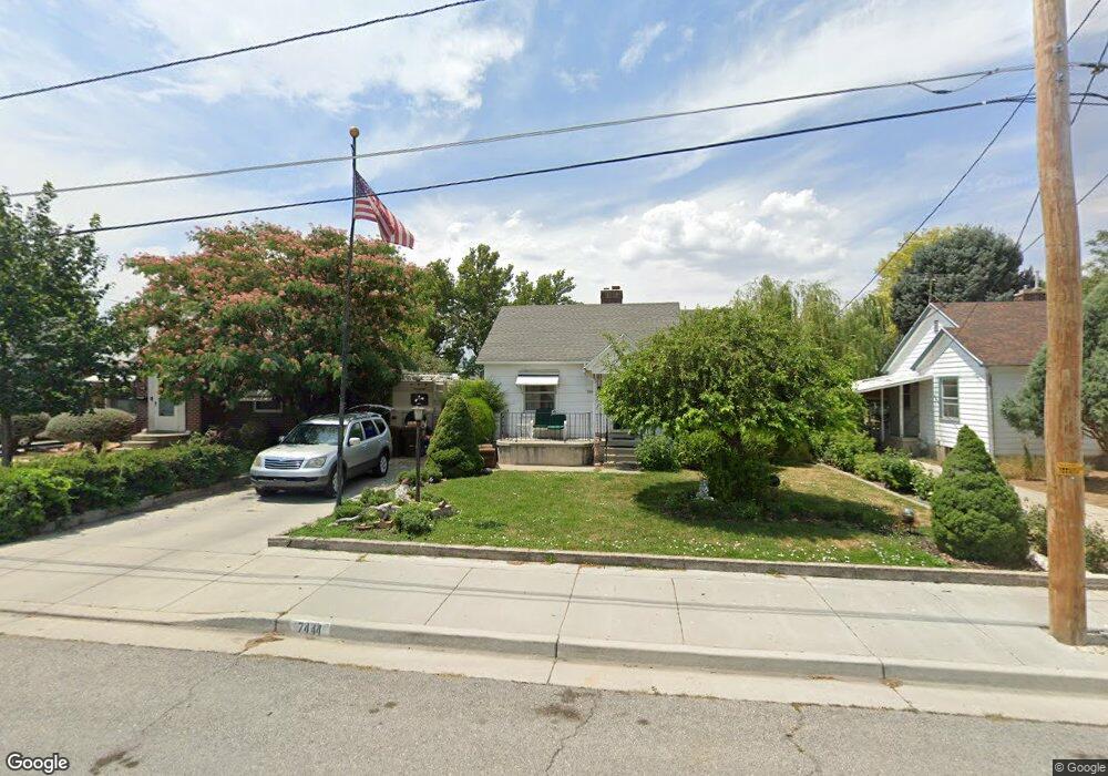
7444 Maple St Midvale, UT 84047
Estimated Value: $442,562 - $451,000
3
Beds
2
Baths
870
Sq Ft
$515/Sq Ft
Est. Value
About This Home
This home is located at 7444 Maple St, Midvale, UT 84047 and is currently estimated at $448,391, approximately $515 per square foot. 7444 Maple St is a home located in Salt Lake County with nearby schools including East Midvale Elementary School, Midvale Middle School, and Hillcrest High School.
Ownership History
Date
Name
Owned For
Owner Type
Purchase Details
Closed on
Mar 15, 2022
Sold by
Lewis Barbara L
Bought by
Lewis Barbara L and Lewis Karen L
Current Estimated Value
Purchase Details
Closed on
Feb 18, 2022
Sold by
Lewis Barbara L
Bought by
Lewis Barbara L and Lewis Karen L
Purchase Details
Closed on
Sep 10, 1999
Sold by
Lewis Larry W
Bought by
Lewis Larry W and Lewis Barbara L
Create a Home Valuation Report for This Property
The Home Valuation Report is an in-depth analysis detailing your home's value as well as a comparison with similar homes in the area
Home Values in the Area
Average Home Value in this Area
Purchase History
| Date | Buyer | Sale Price | Title Company |
|---|---|---|---|
| Lewis Barbara L | -- | None Listed On Document | |
| Lewis Barbara L | -- | None Listed On Document | |
| Lewis Larry W | -- | Founders Title | |
| Lewis Larry W | -- | Founders Title |
Source: Public Records
Tax History
| Year | Tax Paid | Tax Assessment Tax Assessment Total Assessment is a certain percentage of the fair market value that is determined by local assessors to be the total taxable value of land and additions on the property. | Land | Improvement |
|---|---|---|---|---|
| 2025 | $658 | $406,700 | $138,200 | $268,500 |
| 2024 | $658 | $409,200 | $131,200 | $278,000 |
| 2023 | $753 | $379,800 | $124,700 | $255,100 |
| 2022 | $860 | $387,400 | $122,300 | $265,100 |
| 2021 | $896 | $290,000 | $112,100 | $177,900 |
| 2020 | $724 | $260,600 | $81,500 | $179,100 |
| 2019 | $622 | $203,900 | $72,800 | $131,100 |
| 2016 | $1,520 | $179,500 | $72,800 | $106,700 |
Source: Public Records
Map
Nearby Homes
- 150 W 7500 S Unit 55
- 150 W 7500 S Unit 29
- 150 W 7500 S Unit 53
- 30 W 7500 S Unit 18
- 7571 S Blisswood Dr #20 Dr Unit 20
- 108 W Ryker Ln Unit 16
- 7373 S Wood Lily Ct Unit 24
- 7369 S Wood Lily Ct Unit 23
- 7365 S Wood Lily Ct Unit 22
- 7361 S Wood Lily Ct Unit 21
- 7357 S Wood Lily Ct Unit 20
- 7353 S Wood Lily Ct Unit 19
- 72 E 7320 S
- 7331 S Seven Tree Ln Unit 84
- 7333 S Seven Tree Ln Unit 83
- 7344 S Seven Tree Ln Unit 78
- 7338 S Seven Tree Ln Unit 75
- 7334 S Seven Tree Ln Unit 74
- 7332 S Seven Tree Ln Unit 73
- 222 W Center St
Your Personal Tour Guide
Ask me questions while you tour the home.