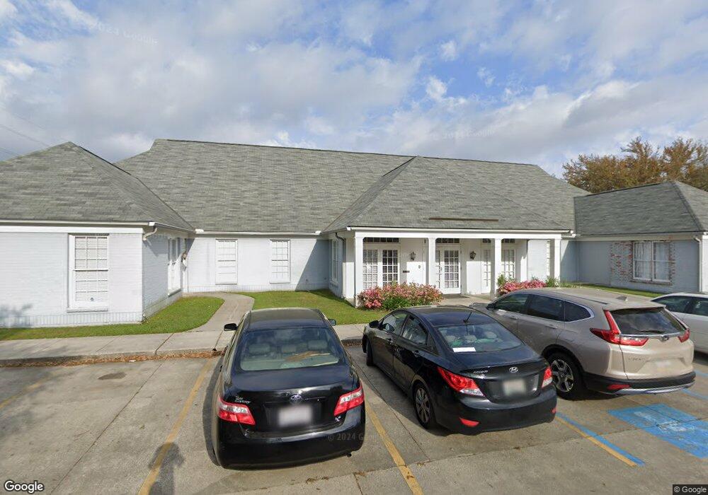
7444 Picardy Ave Baton Rouge, LA 70808
Bocage NeighborhoodEstimated Value: $200,000 - $233,000
--
Bed
--
Bath
1,437
Sq Ft
$152/Sq Ft
Est. Value
About This Home
This home is located at 7444 Picardy Ave, Baton Rouge, LA 70808 and is currently estimated at $218,517, approximately $152 per square foot. 7444 Picardy Ave is a home located in East Baton Rouge Parish with nearby schools including Westminster Elementary School, Westdale Middle School, and Tara High School.
Ownership History
Date
Name
Owned For
Owner Type
Purchase Details
Closed on
Jan 13, 2006
Sold by
Juban Kenneth A
Bought by
Sicard Leigh
Current Estimated Value
Home Financials for this Owner
Home Financials are based on the most recent Mortgage that was taken out on this home.
Original Mortgage
$144,300
Outstanding Balance
$81,011
Interest Rate
6.25%
Mortgage Type
New Conventional
Estimated Equity
$137,506
Create a Home Valuation Report for This Property
The Home Valuation Report is an in-depth analysis detailing your home's value as well as a comparison with similar homes in the area
Home Values in the Area
Average Home Value in this Area
Purchase History
| Date | Buyer | Sale Price | Title Company |
|---|---|---|---|
| Sicard Leigh | $144,315 | -- |
Source: Public Records
Mortgage History
| Date | Status | Borrower | Loan Amount |
|---|---|---|---|
| Open | Sicard Leigh | $144,300 |
Source: Public Records
Tax History Compared to Growth
Tax History
| Year | Tax Paid | Tax Assessment Tax Assessment Total Assessment is a certain percentage of the fair market value that is determined by local assessors to be the total taxable value of land and additions on the property. | Land | Improvement |
|---|---|---|---|---|
| 2024 | $2,126 | $18,150 | $550 | $17,600 |
| 2023 | $2,126 | $18,150 | $550 | $17,600 |
| 2022 | $2,167 | $18,150 | $550 | $17,600 |
| 2021 | $2,117 | $18,150 | $550 | $17,600 |
| 2020 | $2,104 | $18,150 | $550 | $17,600 |
| 2019 | $1,998 | $16,500 | $500 | $16,000 |
| 2018 | $1,974 | $16,500 | $500 | $16,000 |
| 2017 | $1,974 | $16,500 | $500 | $16,000 |
| 2016 | $1,147 | $16,500 | $500 | $16,000 |
| 2015 | $1,067 | $15,800 | $500 | $15,300 |
| 2014 | $1,064 | $15,800 | $500 | $15,300 |
| 2013 | -- | $15,800 | $500 | $15,300 |
Source: Public Records
Map
Nearby Homes
- 7721 Silverside Dr
- 7638 Silverside Dr
- 7614 Silverside Dr
- 7248 Perkins Rd Unit 203
- 7248 Perkins Rd Unit 209
- 7248 Perkins Rd Unit 205
- 7248 Perkins Rd Unit 208
- 7619 Silverside Dr
- 8024 Picardy Ave Unit E
- 7311 Japonica Ct
- 1728 Seawolf Dr
- 8061 Pennth Ave Unit A, B, C, D
- 1715 Seawolf Dr
- 1811 Seawolf Dr
- 1824 Longfin Dr
- 7615 Whitetip Ave
- 9280 Samoa Ave
- 1342 Applewood Rd
- 5323 Blair Ln Unit V201
- 5323 Blair Ln Unit K206
- 7434 Picardy Ave
- 7434 Picardy Ave
- 7434 Picardy Ave
- 7423 Picardy Ave Unit A
- 5329 Dijon Dr
- 5329 Dijon Dr Unit 105-B
- 5329 Dijon Dr Unit 103 & 104
- 5329 Dijon Dr Unit 101-B
- 5329 Dijon Dr Unit 102-B
- 5414 Brittany Dr
- 7091 Perkins Place Ct Unit 7091
- 7091 Perkins Place Ct Unit 7011
- 7091 Perkins Place Ct
- 5319 Dijon Dr Unit C
- 7081 Perkins Place Ct Unit C
- 7081 Perkins Place Ct Unit D
- 7081 Perkins Place Ct Unit B
- 7081 Perkins Place Ct Unit A
- 7081 Perkins Place Ct
- 7081 One Perkins Place Dr