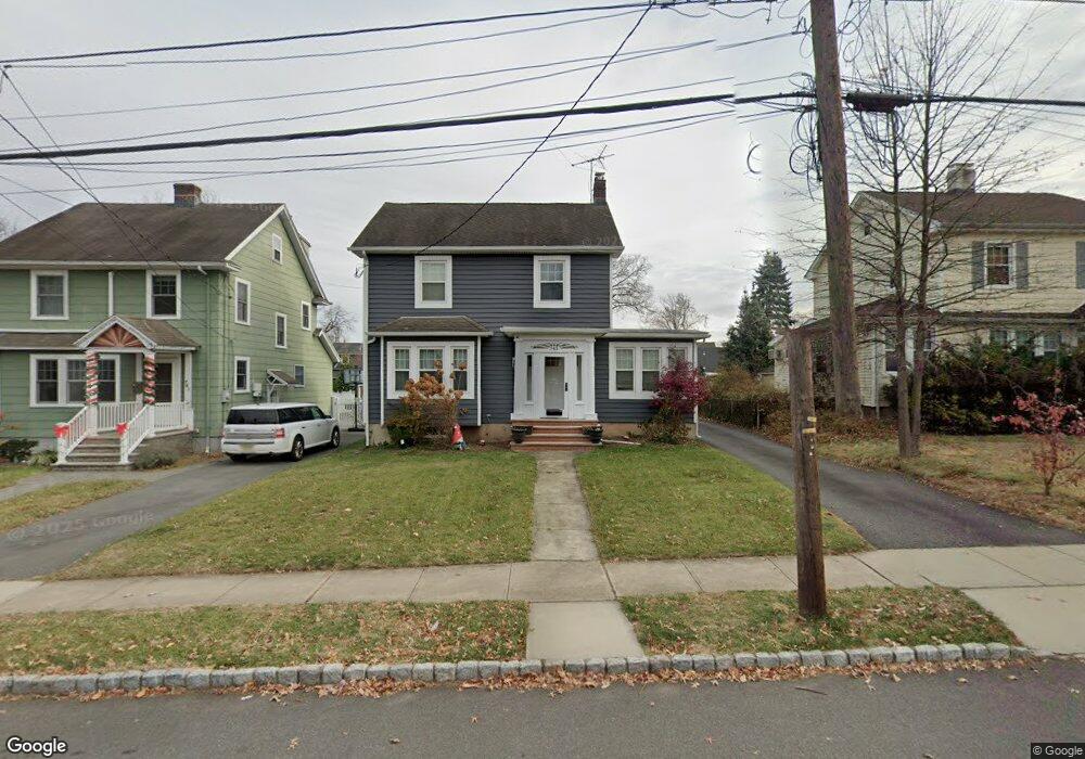
745 1st St Westfield, NJ 07090
Estimated Value: $830,945 - $1,008,000
--
Bed
--
Bath
1,505
Sq Ft
$599/Sq Ft
Est. Value
About This Home
This home is located at 745 1st St, Westfield, NJ 07090 and is currently estimated at $901,986, approximately $599 per square foot. 745 1st St is a home located in Union County with nearby schools including McKinley Elementary School, Westfield Senior High School, and Holy Trinity School.
Ownership History
Date
Name
Owned For
Owner Type
Purchase Details
Closed on
Sep 21, 2011
Sold by
Kermanshani Baback
Bought by
Agno Kathleen
Current Estimated Value
Home Financials for this Owner
Home Financials are based on the most recent Mortgage that was taken out on this home.
Original Mortgage
$212,000
Interest Rate
3.92%
Mortgage Type
New Conventional
Purchase Details
Closed on
Jul 19, 2001
Sold by
Munkittrick Ronald and Munkittrick Helen
Bought by
Kermanshahi Baback
Home Financials for this Owner
Home Financials are based on the most recent Mortgage that was taken out on this home.
Original Mortgage
$47,500
Interest Rate
6.7%
Mortgage Type
Unknown
Purchase Details
Closed on
May 31, 1996
Sold by
Tokash Mary D and Tokash Donald F
Bought by
Munkittrick Ronald C and Munkittrick Helen Machones
Create a Home Valuation Report for This Property
The Home Valuation Report is an in-depth analysis detailing your home's value as well as a comparison with similar homes in the area
Home Values in the Area
Average Home Value in this Area
Purchase History
| Date | Buyer | Sale Price | Title Company |
|---|---|---|---|
| Agno Kathleen | -- | Break Water Title | |
| Kermanshahi Baback | $317,000 | -- | |
| Munkittrick Ronald C | $184,900 | -- |
Source: Public Records
Mortgage History
| Date | Status | Borrower | Loan Amount |
|---|---|---|---|
| Previous Owner | Agno Kathleen | $212,000 | |
| Previous Owner | Kermanshahi Baback | $47,500 | |
| Previous Owner | Kermanshahi Baback | $253,600 |
Source: Public Records
Tax History Compared to Growth
Tax History
| Year | Tax Paid | Tax Assessment Tax Assessment Total Assessment is a certain percentage of the fair market value that is determined by local assessors to be the total taxable value of land and additions on the property. | Land | Improvement |
|---|---|---|---|---|
| 2025 | $11,008 | $488,800 | $316,400 | $172,400 |
| 2024 | $10,783 | $488,800 | $316,400 | $172,400 |
| 2023 | $10,783 | $488,800 | $316,400 | $172,400 |
| 2022 | $10,431 | $482,900 | $316,400 | $166,500 |
| 2021 | $10,445 | $482,900 | $316,400 | $166,500 |
| 2020 | $10,421 | $482,900 | $316,400 | $166,500 |
| 2019 | $10,382 | $482,900 | $316,400 | $166,500 |
| 2018 | $10,682 | $114,900 | $53,500 | $61,400 |
| 2017 | $10,624 | $114,900 | $53,500 | $61,400 |
| 2016 | $10,374 | $114,900 | $53,500 | $61,400 |
| 2015 | $10,168 | $114,900 | $53,500 | $61,400 |
| 2014 | $9,832 | $114,900 | $53,500 | $61,400 |
Source: Public Records
Map
Nearby Homes
- 119 Lamberts Mill Rd
- 314 Highgate Ave
- 2154 W Broad St
- 1466 Lamberts Mill Rd
- 525 Edgar Rd
- 524 Edgar Rd
- 614 Dorian Rd
- 2 Brookside Ct
- 2116 Newark Ave
- 724 South Ave W Unit 724A
- 1933 W Broad St
- 538 Westfield Ave
- 350 W Dudley Ave
- 1933 Mary Ellen Ln
- 2212 Shady Ln
- 2314 Longfellow Ave
- 676 Vermont St
- 522 Boulevard
- 2 Dutch Ln
- 215 Ross Place Unit J