745 Brook Cir E Montrose, MN 55363
Estimated Value: $349,000 - $386,000
4
Beds
4
Baths
2,126
Sq Ft
$174/Sq Ft
Est. Value
About This Home
This home is located at 745 Brook Cir E, Montrose, MN 55363 and is currently estimated at $370,105, approximately $174 per square foot. 745 Brook Cir E is a home located in Wright County with nearby schools including Montrose Elementary School, Buffalo Community Middle School, and Buffalo Senior High School.
Ownership History
Date
Name
Owned For
Owner Type
Purchase Details
Closed on
Jul 28, 2021
Sold by
Sargent Jason and Sargent Sarah
Bought by
Macdonald John A and Macdonald Juanita L
Current Estimated Value
Home Financials for this Owner
Home Financials are based on the most recent Mortgage that was taken out on this home.
Original Mortgage
$324,513
Outstanding Balance
$295,215
Interest Rate
2.93%
Mortgage Type
FHA
Estimated Equity
$74,890
Purchase Details
Closed on
May 13, 2005
Sold by
Donnay Homes Inc
Bought by
Sargent Jason
Purchase Details
Closed on
Nov 25, 2003
Sold by
Trison Development Inc
Bought by
Sunset Homes Corp
Create a Home Valuation Report for This Property
The Home Valuation Report is an in-depth analysis detailing your home's value as well as a comparison with similar homes in the area
Home Values in the Area
Average Home Value in this Area
Purchase History
| Date | Buyer | Sale Price | Title Company |
|---|---|---|---|
| Macdonald John A | $330,500 | Land Title | |
| Sargent Jason | $225,475 | -- | |
| Sunset Homes Corp | $345,000 | -- | |
| Macdonald John John | $330,500 | -- |
Source: Public Records
Mortgage History
| Date | Status | Borrower | Loan Amount |
|---|---|---|---|
| Open | Macdonald John A | $324,513 |
Source: Public Records
Tax History Compared to Growth
Tax History
| Year | Tax Paid | Tax Assessment Tax Assessment Total Assessment is a certain percentage of the fair market value that is determined by local assessors to be the total taxable value of land and additions on the property. | Land | Improvement |
|---|---|---|---|---|
| 2025 | $4,426 | $353,600 | $67,000 | $286,600 |
| 2024 | $4,224 | $351,400 | $77,000 | $274,400 |
| 2023 | $4,074 | $368,600 | $77,000 | $291,600 |
| 2022 | $3,430 | $328,400 | $69,000 | $259,400 |
| 2021 | $3,306 | $243,700 | $35,000 | $208,700 |
| 2020 | $3,280 | $230,500 | $35,000 | $195,500 |
| 2019 | $2,982 | $224,600 | $0 | $0 |
| 2018 | $2,712 | $194,500 | $0 | $0 |
| 2017 | $2,458 | $178,100 | $0 | $0 |
| 2016 | $2,338 | $0 | $0 | $0 |
| 2015 | $2,312 | $0 | $0 | $0 |
| 2014 | -- | $0 | $0 | $0 |
Source: Public Records
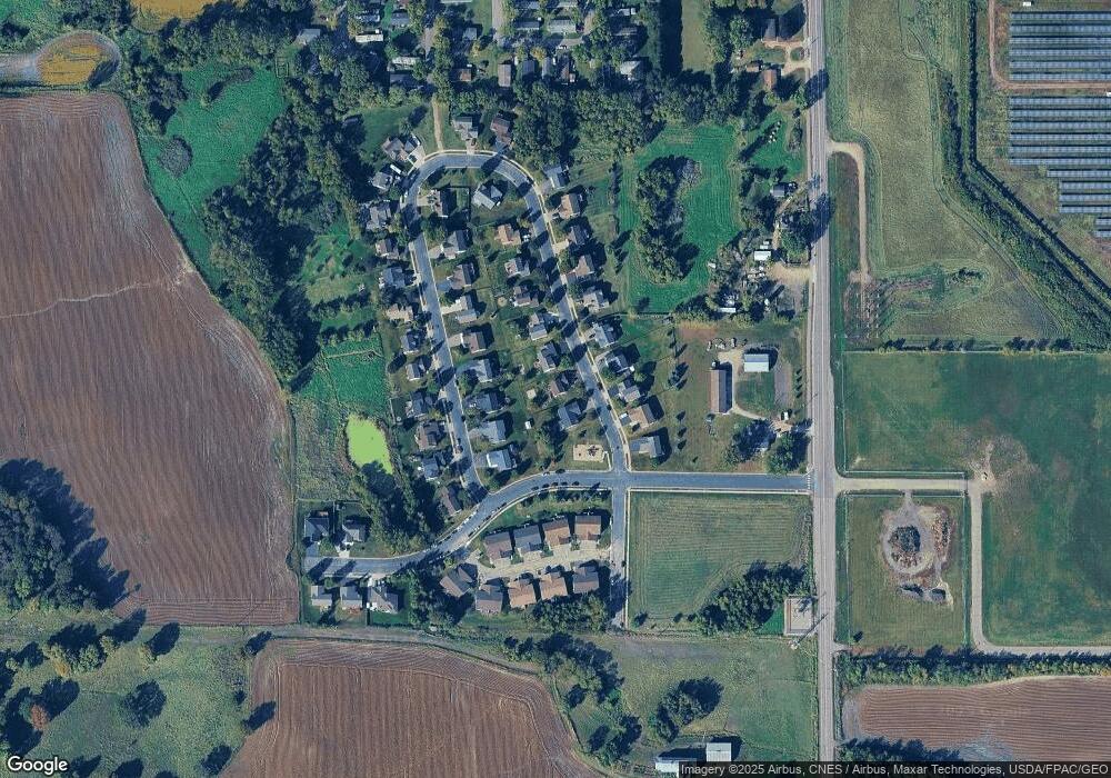
Map
Nearby Homes
- 301 Center Ave S
- 305 Garfield Ave S
- 517 2nd St S
- 1766 US Highway 12 SW
- 150 Pheasant Ridge Dr
- 161 Mindy Ln Unit 9
- 137 Pheasant Ridge Dr
- 149 Mindy Ln
- 140 Garner Cir
- 426 Dillon Ave N
- 151 Garner Cir
- 610 Emerson Ave N
- 2113 Birch Ln
- 2010 Apple Ln
- 2008 Apple Ln
- 2105 Birch Ln
- 2002 Apple Ln
- 683 Aspen Ln
- 684 Aspen Ln
- 685 Aspen Ln
- 743 Brook Cir E
- 747 Brook Cir E
- 708 Brook Cir W
- 708 708 Brook-Circle-w
- 741 Brook Cir E
- 710 Brook Cir W
- 706 Brook Cir W
- 704 704 Brook-Circle-w
- 704 Brook Cir W
- 712 Brook Cir W
- 742 Brook Cir E
- 744 Brook Cir E
- 739 Brook Cir E
- 740 Brook Cir E
- 748 Brook Cir E
- 714 Brook Cir W
- 714 714 Brook-Circle-w
- 750 Brook Cir E
- 738 Brook Cir E
- 709 Brook Cir W