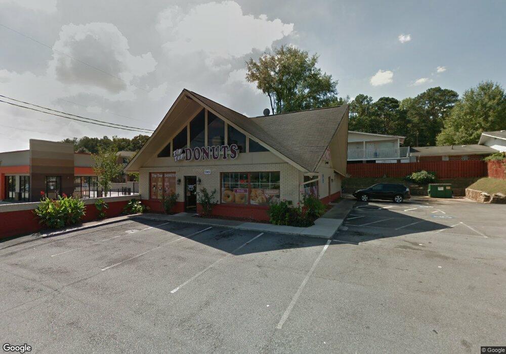
745 Cobb Pkwy N Marietta, GA 30062
Estimated Value: $922,359
--
Bed
--
Bath
2,202
Sq Ft
$419/Sq Ft
Est. Value
About This Home
This home is located at 745 Cobb Pkwy N, Marietta, GA 30062 and is currently estimated at $922,359, approximately $418 per square foot. 745 Cobb Pkwy N is a home located in Cobb County with nearby schools including Marietta Sixth Grade Academy, Sawyer Road Elementary School, and Marietta Middle School.
Ownership History
Date
Name
Owned For
Owner Type
Purchase Details
Closed on
Mar 16, 2016
Sold by
Johnson Jean E
Bought by
White Columns Inn Inc
Current Estimated Value
Purchase Details
Closed on
Mar 2, 2015
Sold by
Johnson Jean E
Bought by
Taing Aun and Khe Vorn
Home Financials for this Owner
Home Financials are based on the most recent Mortgage that was taken out on this home.
Original Mortgage
$215,000
Interest Rate
3.77%
Mortgage Type
Commercial
Purchase Details
Closed on
Aug 8, 2001
Sold by
Crowe Arthur L
Bought by
Hin Corporation
Home Financials for this Owner
Home Financials are based on the most recent Mortgage that was taken out on this home.
Original Mortgage
$240,000
Interest Rate
7.19%
Mortgage Type
Commercial
Create a Home Valuation Report for This Property
The Home Valuation Report is an in-depth analysis detailing your home's value as well as a comparison with similar homes in the area
Home Values in the Area
Average Home Value in this Area
Purchase History
| Date | Buyer | Sale Price | Title Company |
|---|---|---|---|
| White Columns Inn Inc | -- | -- | |
| Taing Aun | $415,000 | -- | |
| Hin Corporation | $180,000 | -- |
Source: Public Records
Mortgage History
| Date | Status | Borrower | Loan Amount |
|---|---|---|---|
| Previous Owner | Taing Aun | $215,000 | |
| Previous Owner | Hin Corporation | $240,000 |
Source: Public Records
Tax History Compared to Growth
Tax History
| Year | Tax Paid | Tax Assessment Tax Assessment Total Assessment is a certain percentage of the fair market value that is determined by local assessors to be the total taxable value of land and additions on the property. | Land | Improvement |
|---|---|---|---|---|
| 2024 | $1,734 | $204,920 | $133,000 | $71,920 |
| 2023 | $1,734 | $204,920 | $133,000 | $71,920 |
| 2022 | $1,613 | $190,692 | $122,820 | $67,872 |
| 2021 | $1,636 | $190,440 | $122,820 | $67,620 |
| 2020 | $1,636 | $190,440 | $122,820 | $67,620 |
| 2019 | $1,635 | $190,340 | $122,820 | $67,520 |
| 2018 | $1,635 | $190,340 | $122,820 | $67,520 |
| 2017 | $1,311 | $190,340 | $122,820 | $67,520 |
| 2016 | $1,139 | $165,312 | $102,352 | $62,960 |
| 2015 | $1,117 | $148,964 | $108,884 | $40,080 |
| 2014 | $1,144 | $147,564 | $108,884 | $38,680 |
Source: Public Records
Map
Nearby Homes
- 694 Kiowa Dr NE
- 702 Kiowa Dr NE
- 682 Kiowa Dr NE
- 722 Kiowa Dr NE
- 0 Kiowa Dr NE Unit 8316071
- 0 Kiowa Dr NE Unit 7223989
- 0 Kiowa Dr NE Unit 8846976
- 0 Kiowa Dr NE Unit 8553328
- 0 Kiowa Dr NE Unit 7180455
- 0 Kiowa Dr NE Unit 3252758
- 0 Kiowa Dr NE Unit 8625752
- 0 Kiowa Dr NE Unit 8940463
- 0 Kiowa Dr NE
- 726 Kiowa Dr NE
- 687 Kiowa Dr NE
- 697 Kiowa Dr NE
- 675 Kiowa Dr NE
- 721 Kiowa Dr NE
- 730 Kiowa Dr NE
- 626 Creek Water Trail