745 Cole Ranch Rd Auburn, CA 95602
Estimated Value: $374,000 - $557,000
2
Beds
1
Bath
1,016
Sq Ft
$449/Sq Ft
Est. Value
About This Home
This home is located at 745 Cole Ranch Rd, Auburn, CA 95602 and is currently estimated at $456,423, approximately $449 per square foot. 745 Cole Ranch Rd is a home located in Placer County with nearby schools including Sierra Hills Elementary School, Weimar Hills, and Colfax High School.
Ownership History
Date
Name
Owned For
Owner Type
Purchase Details
Closed on
Mar 12, 1999
Sold by
Scully Nancy J and Tebeau Nancy J
Bought by
Scully Nancy J
Current Estimated Value
Home Financials for this Owner
Home Financials are based on the most recent Mortgage that was taken out on this home.
Original Mortgage
$65,500
Outstanding Balance
$15,825
Interest Rate
6.73%
Estimated Equity
$440,598
Purchase Details
Closed on
Aug 22, 1996
Sold by
Darlene Hines
Bought by
Hines David
Purchase Details
Closed on
Sep 2, 1994
Sold by
Va
Bought by
Tebeau Nancy J
Create a Home Valuation Report for This Property
The Home Valuation Report is an in-depth analysis detailing your home's value as well as a comparison with similar homes in the area
Home Values in the Area
Average Home Value in this Area
Purchase History
| Date | Buyer | Sale Price | Title Company |
|---|---|---|---|
| Scully Nancy J | -- | Fidelity National Title Co | |
| Hines David | -- | -- | |
| Tebeau Nancy J | -- | -- |
Source: Public Records
Mortgage History
| Date | Status | Borrower | Loan Amount |
|---|---|---|---|
| Open | Scully Nancy J | $65,500 |
Source: Public Records
Tax History Compared to Growth
Tax History
| Year | Tax Paid | Tax Assessment Tax Assessment Total Assessment is a certain percentage of the fair market value that is determined by local assessors to be the total taxable value of land and additions on the property. | Land | Improvement |
|---|---|---|---|---|
| 2025 | $1,367 | $138,366 | $35,828 | $102,538 |
| 2023 | $1,367 | $132,995 | $34,438 | $98,557 |
| 2022 | $1,320 | $130,388 | $33,763 | $96,625 |
| 2021 | $1,290 | $127,832 | $33,101 | $94,731 |
| 2020 | $1,274 | $126,522 | $32,762 | $93,760 |
| 2019 | $1,247 | $124,042 | $32,120 | $91,922 |
| 2018 | $1,202 | $121,611 | $31,491 | $90,120 |
| 2017 | $1,179 | $119,227 | $30,874 | $88,353 |
| 2016 | $1,153 | $116,890 | $30,269 | $86,621 |
| 2015 | $1,124 | $115,135 | $29,815 | $85,320 |
| 2014 | $1,105 | $112,880 | $29,231 | $83,649 |
Source: Public Records
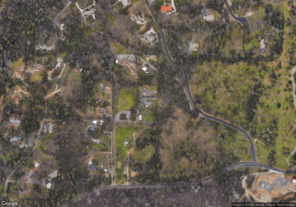
Map
Nearby Homes
- 12446 Shadow Brook Ct
- 1111 Scenic Pine Dr
- 1365 Shadow Rock Dr
- 5250 Morningside Ave
- 1475 Shadow Mountain Ct
- 2050 Black Oak Rd
- 833 Arrowhead Ln
- 15395 Lake Arthur Rd
- 0 Old Airport Rd Unit 225114571
- 0 Richards Ln Unit 225114570
- 1001 Old Airport Rd
- 2219 Sunny Oak Dr
- 17107 Winchester Club Dr
- 17045 Winchester Club Dr
- 15391 Pear Valley Ln
- 2720 Winding Creek Ln
- 15288 William Dr
- 2125 Dream Place
- 17330 Winchester Club Dr
- 2654 Pinnacle View Dr
- 731 Cole Ranch Rd
- 14505 Dry Creek Rd
- 825 Cole Ranch Rd
- 920 Reed Ln
- 820 Cole Ranch Rd
- 845 Cole Ranch Rd
- 910 Reed Ln
- 881 Reed Ln
- 955 Shadow Rock Dr
- 865 Reed Ln
- 950 Shadow Rock Dr
- 14525 Dry Creek Rd
- 831 Reed Ln
- 1033 Shadow Rock Dr
- 821 Reed Ln
- 1014 Meadow Oaks Dr
- 14550 Curry Ct
- 1010 Meadow Oaks Dr
- 1100 Shadow Rock Dr
- 14650 Curry Ct