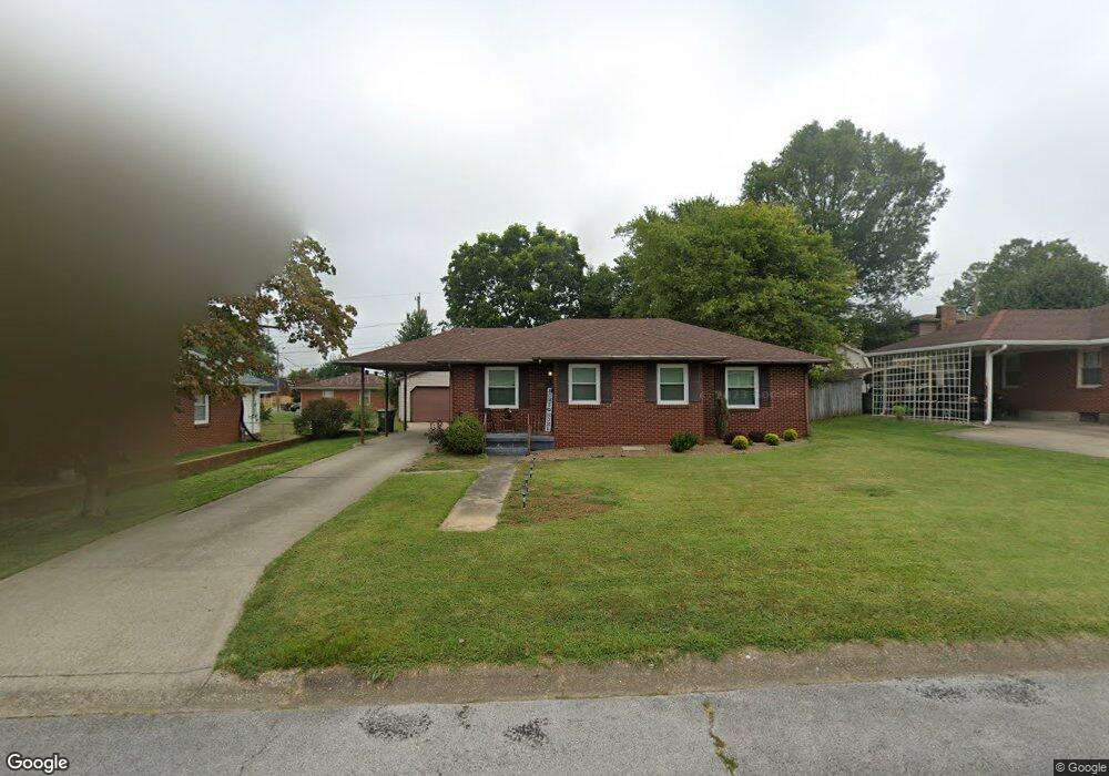
745 Devonshire Dr Owensboro, KY 42303
Midtown East NeighborhoodEstimated Value: $188,412 - $205,000
3
Beds
1
Bath
1,197
Sq Ft
$166/Sq Ft
Est. Value
About This Home
This home is located at 745 Devonshire Dr, Owensboro, KY 42303 and is currently estimated at $198,853, approximately $166 per square foot. 745 Devonshire Dr is a home located in Daviess County with nearby schools including Deer Park Elementary School, College View Middle School, and Daviess County High School.
Ownership History
Date
Name
Owned For
Owner Type
Purchase Details
Closed on
Aug 26, 2022
Sold by
Margan Aaron S and Margan Stephani
Bought by
Renfrow Christopher
Current Estimated Value
Home Financials for this Owner
Home Financials are based on the most recent Mortgage that was taken out on this home.
Original Mortgage
$135,000
Outstanding Balance
$128,946
Interest Rate
5.22%
Mortgage Type
Construction
Estimated Equity
$69,907
Purchase Details
Closed on
Nov 1, 2015
Bought by
Aaron Magan S
Create a Home Valuation Report for This Property
The Home Valuation Report is an in-depth analysis detailing your home's value as well as a comparison with similar homes in the area
Home Values in the Area
Average Home Value in this Area
Purchase History
| Date | Buyer | Sale Price | Title Company |
|---|---|---|---|
| Renfrow Christopher | $205,000 | -- | |
| Aaron Magan S | $106,000 | -- |
Source: Public Records
Mortgage History
| Date | Status | Borrower | Loan Amount |
|---|---|---|---|
| Open | Renfrow Christopher | $135,000 |
Source: Public Records
Tax History Compared to Growth
Tax History
| Year | Tax Paid | Tax Assessment Tax Assessment Total Assessment is a certain percentage of the fair market value that is determined by local assessors to be the total taxable value of land and additions on the property. | Land | Improvement |
|---|---|---|---|---|
| 2025 | $535 | $205,000 | $0 | $0 |
| 2024 | $535 | $205,000 | $0 | $0 |
| 2023 | $2,134 | $205,000 | $0 | $0 |
| 2022 | $1,880 | $141,600 | $0 | $0 |
| 2021 | $1,894 | $141,600 | $0 | $0 |
| 2020 | $1,466 | $108,900 | $0 | $0 |
| 2019 | $30,123 | $108,900 | $0 | $0 |
| 2018 | $2,402 | $108,900 | $0 | $0 |
| 2017 | $2,393 | $108,900 | $0 | $0 |
| 2016 | $2,258 | $106,000 | $0 | $0 |
| 2015 | $273 | $106,000 | $0 | $0 |
| 2014 | $273 | $105,400 | $0 | $0 |
Source: Public Records
Map
Nearby Homes
- 2933 Plymouth Place
- 907 Dixiana Dr
- 867 Live Oak Place
- 522 Monterrey Dr
- 742 Live Oak Place
- 1139 Gilbert Ln
- 1013 E Byers Ave
- 18D Quail Ridge Ct
- 11 Quail Ridge Ct
- 600 E 26th St
- 8 Quail Ridge Ct
- 3205 Allen St
- 2816 Tanglewood Dr
- 301 W Legion Blvd
- 3414 Daviess St
- 3021 Sterling Ct
- 2608 Central Park Ct
- 3441 Hawthorne Dr
- 305 E 23rd St
- 527 Suffolk Dr
- 751 Devonshire Dr
- 2925 Maybert St
- 2934 Southland Rd
- 757 Devonshire Dr
- 742 Devonshire Dr
- 729 Devonshire Dr
- 2926 Southland Rd
- 748 Devonshire Dr
- 736 Devonshire Dr
- 2915 Maybert St
- 754 Devonshire Dr
- 730 Devonshire Dr
- 2918 Southland Rd
- 2924 Maybert St
- 803 Devonshire Dr
- 723 Devonshire Dr
- 724 Devonshire Dr
- 743 Canterbury Rd
- 2935 Southland Rd
- 737 Canterbury Rd