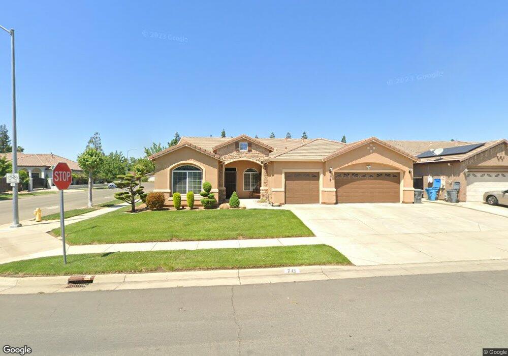
745 Gidda Loop Yuba City, CA 95993
Estimated Value: $413,000 - $527,607
4
Beds
3
Baths
2,301
Sq Ft
$214/Sq Ft
Est. Value
About This Home
This home is located at 745 Gidda Loop, Yuba City, CA 95993 and is currently estimated at $492,152, approximately $213 per square foot. 745 Gidda Loop is a home located in Sutter County with nearby schools including Lincoln Elementary School, Yuba City High School, and St. Isidore Catholic School.
Ownership History
Date
Name
Owned For
Owner Type
Purchase Details
Closed on
Nov 26, 2025
Sold by
Kaur Paramjit
Bought by
Parm And Sunny Trust and Kaur
Current Estimated Value
Purchase Details
Closed on
Jul 14, 2008
Sold by
Dawson Sean
Bought by
Kaur Paramjit
Purchase Details
Closed on
May 12, 2006
Sold by
Valley Development Co Inc
Bought by
Dawson Sean
Home Financials for this Owner
Home Financials are based on the most recent Mortgage that was taken out on this home.
Original Mortgage
$85,000
Interest Rate
6.46%
Mortgage Type
Stand Alone Second
Create a Home Valuation Report for This Property
The Home Valuation Report is an in-depth analysis detailing your home's value as well as a comparison with similar homes in the area
Purchase History
| Date | Buyer | Sale Price | Title Company |
|---|---|---|---|
| Parm And Sunny Trust | -- | None Listed On Document | |
| Kaur Paramjit | $200,000 | First American Title Company | |
| Dawson Sean | -- | First American Title Co |
Source: Public Records
Mortgage History
| Date | Status | Borrower | Loan Amount |
|---|---|---|---|
| Previous Owner | Dawson Sean | $85,000 | |
| Previous Owner | Dawson Sean | $340,000 |
Source: Public Records
Tax History
| Year | Tax Paid | Tax Assessment Tax Assessment Total Assessment is a certain percentage of the fair market value that is determined by local assessors to be the total taxable value of land and additions on the property. | Land | Improvement |
|---|---|---|---|---|
| 2025 | $4,144 | $257,535 | $77,258 | $180,277 |
| 2024 | $4,144 | $252,487 | $75,744 | $176,743 |
| 2023 | $4,144 | $247,537 | $74,259 | $173,278 |
| 2022 | $4,045 | $242,684 | $72,803 | $169,881 |
| 2021 | $3,967 | $237,940 | $71,382 | $166,558 |
| 2020 | $3,628 | $235,500 | $70,650 | $164,850 |
| 2019 | $3,840 | $230,882 | $69,265 | $161,617 |
| 2018 | $3,752 | $226,354 | $67,906 | $158,448 |
| 2017 | $3,686 | $221,916 | $66,575 | $155,341 |
| 2016 | $3,636 | $217,564 | $65,269 | $152,295 |
| 2015 | $3,599 | $214,296 | $64,289 | $150,007 |
| 2014 | $3,542 | $210,098 | $63,029 | $147,069 |
Source: Public Records
Map
Nearby Homes
- 1909 Brianna Way
- 1090 Portola Valley Rd
- 1180 Sanborn Rd
- 1740 Edwin Dr
- 908 Mesa Verde
- 1661 Chelsea Place
- 2064 Morgan Way
- 1515 Jodi Dr
- 1799 Newport Dr
- 152 College Hill Way
- 948 Woodridge Ct
- 1528 Rancho Way
- 1558 Sheena Ct
- 1781 Franklin Rd Unit 36
- 1781 Franklin Rd Unit 59
- 1685 Augusta Ln
- 1559 Rushing St
- 1716 Wingfoot Dr
- 1510 Franklin Rd
- 1718 Wildflower Cir
Your Personal Tour Guide
Ask me questions while you tour the home.