745 Makinster Rd Tillamook, OR 97141
Estimated Value: $391,621 - $523,000
2
Beds
1
Bath
1,566
Sq Ft
$297/Sq Ft
Est. Value
About This Home
This home is located at 745 Makinster Rd, Tillamook, OR 97141 and is currently estimated at $465,655, approximately $297 per square foot. 745 Makinster Rd is a home located in Tillamook County with nearby schools including Tillamook High School.
Ownership History
Date
Name
Owned For
Owner Type
Purchase Details
Closed on
Jul 13, 2023
Sold by
Coon Richard and Coon Deborah J
Bought by
Coon Jesse A and Coon Charity
Current Estimated Value
Purchase Details
Closed on
Apr 1, 2019
Sold by
Coon Jesse A
Bought by
Coon Jesse A and Coon Charity
Home Financials for this Owner
Home Financials are based on the most recent Mortgage that was taken out on this home.
Original Mortgage
$252,797
Interest Rate
4%
Mortgage Type
New Conventional
Purchase Details
Closed on
Mar 30, 2017
Sold by
Liv Krebs Kristen L
Bought by
Coon Jesse A
Create a Home Valuation Report for This Property
The Home Valuation Report is an in-depth analysis detailing your home's value as well as a comparison with similar homes in the area
Home Values in the Area
Average Home Value in this Area
Purchase History
| Date | Buyer | Sale Price | Title Company |
|---|---|---|---|
| Coon Jesse A | $25,000 | None Listed On Document | |
| Coon Jesse A | -- | Amrock | |
| Coon Jesse A | $310,000 | First American Title |
Source: Public Records
Mortgage History
| Date | Status | Borrower | Loan Amount |
|---|---|---|---|
| Previous Owner | Coon Jesse A | $252,797 |
Source: Public Records
Tax History Compared to Growth
Tax History
| Year | Tax Paid | Tax Assessment Tax Assessment Total Assessment is a certain percentage of the fair market value that is determined by local assessors to be the total taxable value of land and additions on the property. | Land | Improvement |
|---|---|---|---|---|
| 2024 | $2,165 | $213,190 | $42,650 | $170,540 |
| 2023 | $2,153 | $207,100 | $41,530 | $165,570 |
| 2022 | $2,078 | $201,200 | $40,450 | $160,750 |
| 2021 | $2,018 | $195,470 | $39,400 | $156,070 |
| 2020 | $1,964 | $189,910 | $38,380 | $151,530 |
| 2019 | $1,951 | $184,510 | $37,390 | $147,120 |
| 2018 | $1,906 | $179,260 | $36,420 | $142,840 |
| 2017 | $1,857 | $174,159 | $35,480 | $138,679 |
| 2016 | $1,684 | $187,720 | $43,030 | $144,690 |
| 2015 | $1,868 | $196,300 | $57,470 | $138,830 |
| 2014 | $1,761 | $190,590 | $55,790 | $134,800 |
| 2013 | -- | $189,800 | $53,440 | $136,360 |
Source: Public Records
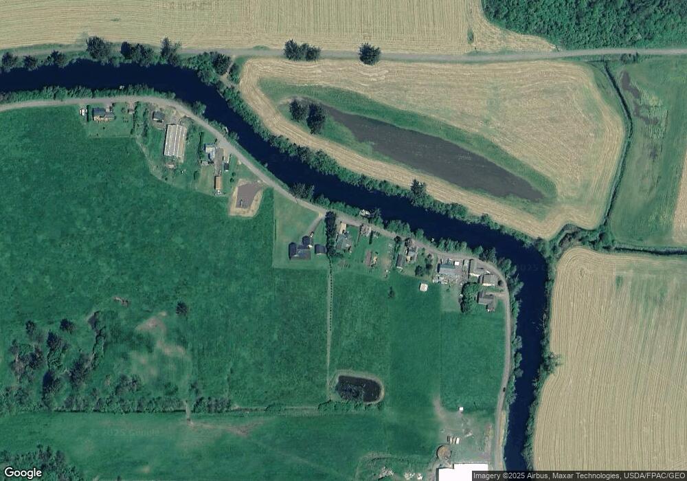
Map
Nearby Homes
- 0 Makinster Rd Unit 1902 24-656
- 0 Makinster Rd Unit 1902 24205450
- 0 Ellen Ave
- 0 Tl2402 Alderbrook Rd
- 0 Tl2400 Alderbrook Rd
- 3960 Latimer Rd
- 17805 U S 101
- 4600 Idaville Rd Unit 36
- TL#2400 Alderbrook Rd
- 4000 Idaville Rd
- 1307 3rd St
- 315 Birch Ave
- 412 Birch Ave
- 1708 4th St
- 1703 4th St
- 2375 Bayocean Rd NW
- 1706 5th St
- 514 Elm Ave
- 2506 1st St
- 00101 Wilson River Hwy
- 745 Makinster Rd
- 785 Makinster Rd
- 805 Makinster Rd
- 645 Makinster Rd
- 0 Makinster Rd Unit 2201 23540473
- 0 Makinster Rd Unit 1902 23215974
- 0 Makinster Rd
- 625 Makinster Rd
- 905 Makinster Rd
- 615 Makinster Rd
- 940 Makinster Rd
- 4160 Boquist Rd N
- 925 Makinster Rd
- 910 Makinster Rd
- 1150 Makinster Rd
- 0 V L Makinster 2201 Rd
- 3992 Boquist Rd N
- 550 Makinster Rd
- 550 Makinster Rd
- 4140 Boquist Rd N