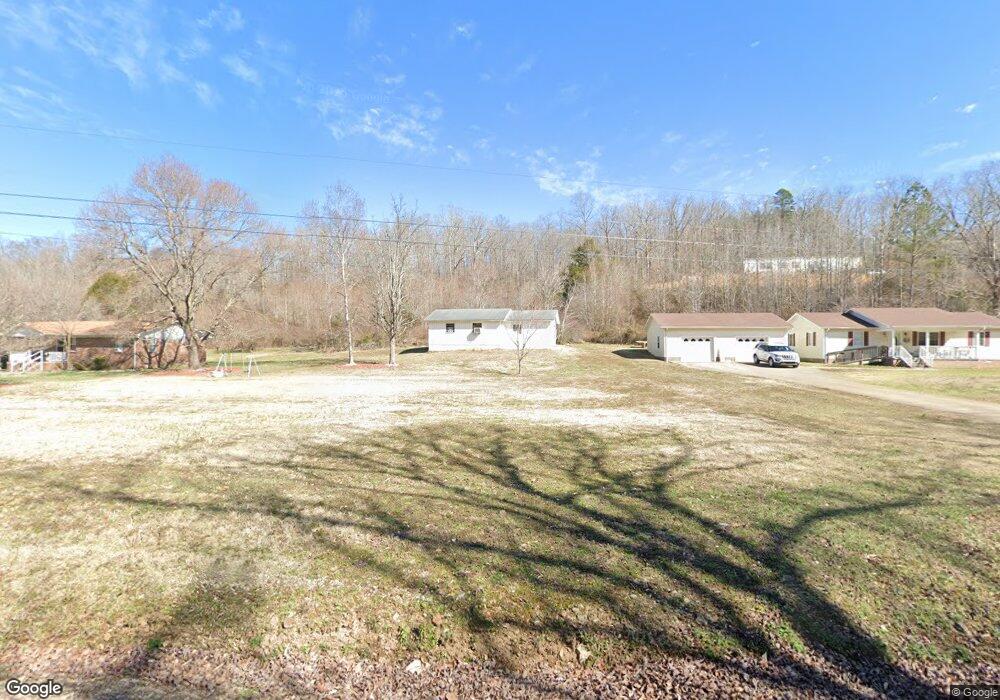
745 Mink Branch Rd Waynesboro, TN 38485
Estimated Value: $182,845 - $298,000
--
Bed
1
Bath
1,300
Sq Ft
$187/Sq Ft
Est. Value
About This Home
This home is located at 745 Mink Branch Rd, Waynesboro, TN 38485 and is currently estimated at $243,461, approximately $187 per square foot. 745 Mink Branch Rd is a home located in Wayne County with nearby schools including Wayne Academy.
Ownership History
Date
Name
Owned For
Owner Type
Purchase Details
Closed on
Aug 25, 2017
Sold by
Cole Vickie A
Bought by
Dugger Paula Frances and Crosslin Rickey Eugene
Current Estimated Value
Home Financials for this Owner
Home Financials are based on the most recent Mortgage that was taken out on this home.
Original Mortgage
$80,000
Outstanding Balance
$66,842
Interest Rate
3.92%
Mortgage Type
New Conventional
Estimated Equity
$176,619
Purchase Details
Closed on
Nov 15, 2007
Sold by
Jeremy Bundrant
Bought by
Cole Vickie A
Home Financials for this Owner
Home Financials are based on the most recent Mortgage that was taken out on this home.
Original Mortgage
$98,350
Interest Rate
6.36%
Purchase Details
Closed on
May 21, 2002
Bought by
Bundrant Jeremy and Bundrant Brandi
Create a Home Valuation Report for This Property
The Home Valuation Report is an in-depth analysis detailing your home's value as well as a comparison with similar homes in the area
Home Values in the Area
Average Home Value in this Area
Purchase History
| Date | Buyer | Sale Price | Title Company |
|---|---|---|---|
| Dugger Paula Frances | $130,000 | -- | |
| Cole Vickie A | $98,350 | -- | |
| Bundrant Jeremy | $36,000 | -- |
Source: Public Records
Mortgage History
| Date | Status | Borrower | Loan Amount |
|---|---|---|---|
| Open | Dugger Paula Frances | $80,000 | |
| Previous Owner | Bundrant Jeremy | $98,350 |
Source: Public Records
Tax History Compared to Growth
Tax History
| Year | Tax Paid | Tax Assessment Tax Assessment Total Assessment is a certain percentage of the fair market value that is determined by local assessors to be the total taxable value of land and additions on the property. | Land | Improvement |
|---|---|---|---|---|
| 2024 | $873 | $40,275 | $1,300 | $38,975 |
| 2023 | $772 | $40,275 | $1,300 | $38,975 |
| 2022 | $772 | $40,275 | $1,300 | $38,975 |
| 2021 | $636 | $40,275 | $1,300 | $38,975 |
| 2020 | $636 | $27,650 | $1,300 | $26,350 |
| 2019 | $636 | $27,650 | $1,300 | $26,350 |
| 2018 | $636 | $27,650 | $1,300 | $26,350 |
| 2017 | $428 | $27,650 | $1,300 | $26,350 |
| 2016 | $381 | $18,600 | $1,300 | $17,300 |
| 2014 | $382 | $18,474 | $0 | $0 |
Source: Public Records
Map
Nearby Homes
- 711 Hurricane Hill Dr
- 131 Susan Ln
- 418 Moore St
- 0 Waynesboro Hwy Unit RTC2991221
- 0 Waynesboro Hwy Unit RTC2806893
- 0 Waynesboro Hwy Unit RTC2821045
- 1027 Highway 99
- 123 Brewer Dr
- 117 N High St
- 104 Mink Branch Acres Dr
- 117 Belew Cir
- 310 W Hill St
- 110 Turman St
- 202 Morris St
- 0 Simmons Branch Rd Unit 10181446
- 214 Mcwilliams St
- 107 W Songer St
- 308 S High St
- 120 Wallace Dr
- 408 Poplar St
- 739 Mink Branch Rd
- 735 Mink Branch Rd
- 770 Mink Branch Rd
- 729 Mink Branch Rd
- 772 Mink Branch Rd
- 1068 Mink Branch Rd
- 475 Faye Dr
- 418 Faye Dr
- 715 Mink Branch Rd
- 2118 Mount Hope Rd
- 795 Mink Branch Rd
- 2206 Mount Hope Rd
- 387 Faye Dr
- 2218 Mount Hope Rd
- 2100 Mount Hope Rd
- 431 Joe Sevier Dr
- 324 Faye Dr
- 801 Mink Branch Rd
- 434 Faye Dr
- 501 Joe Sevier Dr