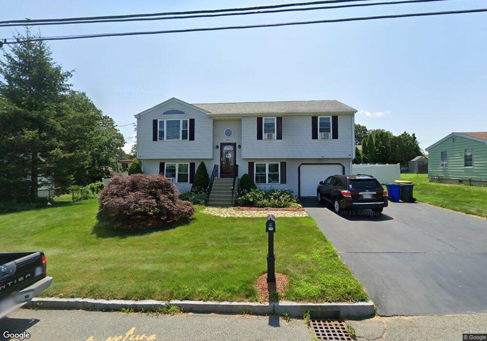
745 Newhall St Fall River, MA 02721
Maplewood NeighborhoodEstimated Value: $522,329 - $618,000
3
Beds
2
Baths
2,070
Sq Ft
$281/Sq Ft
Est. Value
About This Home
This home is located at 745 Newhall St, Fall River, MA 02721 and is currently estimated at $581,832, approximately $281 per square foot. 745 Newhall St is a home located in Bristol County with nearby schools including Letourneau Elementary School, Matthew J. Kuss Middle School, and B M C Durfee High School.
Ownership History
Date
Name
Owned For
Owner Type
Purchase Details
Closed on
Jun 23, 1998
Sold by
Cabral Timothy
Bought by
Levrault Gerald P and Leverault Rosemarie
Current Estimated Value
Home Financials for this Owner
Home Financials are based on the most recent Mortgage that was taken out on this home.
Original Mortgage
$122,500
Interest Rate
7.09%
Mortgage Type
Purchase Money Mortgage
Purchase Details
Closed on
Dec 12, 1997
Sold by
Obrien Wanda
Bought by
Cabral Timothy
Create a Home Valuation Report for This Property
The Home Valuation Report is an in-depth analysis detailing your home's value as well as a comparison with similar homes in the area
Home Values in the Area
Average Home Value in this Area
Purchase History
| Date | Buyer | Sale Price | Title Company |
|---|---|---|---|
| Levrault Gerald P | $129,600 | -- | |
| Cabral Timothy | $39,000 | -- |
Source: Public Records
Mortgage History
| Date | Status | Borrower | Loan Amount |
|---|---|---|---|
| Open | Cabral Timothy | $202,900 | |
| Closed | Cabral Timothy | $172,000 | |
| Closed | Cabral Timothy | $40,000 | |
| Closed | Cabral Timothy | $122,500 |
Source: Public Records
Tax History
| Year | Tax Paid | Tax Assessment Tax Assessment Total Assessment is a certain percentage of the fair market value that is determined by local assessors to be the total taxable value of land and additions on the property. | Land | Improvement |
|---|---|---|---|---|
| 2025 | $5,241 | $457,700 | $136,100 | $321,600 |
| 2024 | $4,667 | $406,200 | $131,000 | $275,200 |
| 2023 | $4,775 | $389,200 | $124,600 | $264,600 |
| 2022 | $3,898 | $308,900 | $115,400 | $193,500 |
| 2021 | $4,005 | $289,600 | $115,200 | $174,400 |
| 2020 | $3,884 | $268,800 | $108,800 | $160,000 |
| 2019 | $3,884 | $266,400 | $106,800 | $159,600 |
| 2018 | $3,724 | $254,700 | $106,800 | $147,900 |
| 2017 | $3,504 | $250,300 | $103,700 | $146,600 |
| 2016 | $3,312 | $243,000 | $103,700 | $139,300 |
| 2015 | $3,088 | $236,100 | $103,700 | $132,400 |
| 2014 | $2,970 | $236,100 | $103,700 | $132,400 |
Source: Public Records
Map
Nearby Homes
- 664 Norman St
- 0 Wood St
- 0 Hancock St
- 95 Hiatt St
- 206 Songbird Ln
- 18 Mockingbird Ln
- 38 Hummingbird Ln
- 1082 Hancock St
- 37 Bluejay St
- 84 Lark Ln
- 21 Nightingale Ln
- 3 Blackbird St
- 71 Blackbird St
- 186 Spencer St
- 0 Stafford Rd Unit 1393774
- 0 Stafford Rd Unit 73431501
- 0 Sheldon St
- 185 Stafford Rd
- 495 Chicago St
- 447 Stafford Rd Unit E7
Your Personal Tour Guide
Ask me questions while you tour the home.