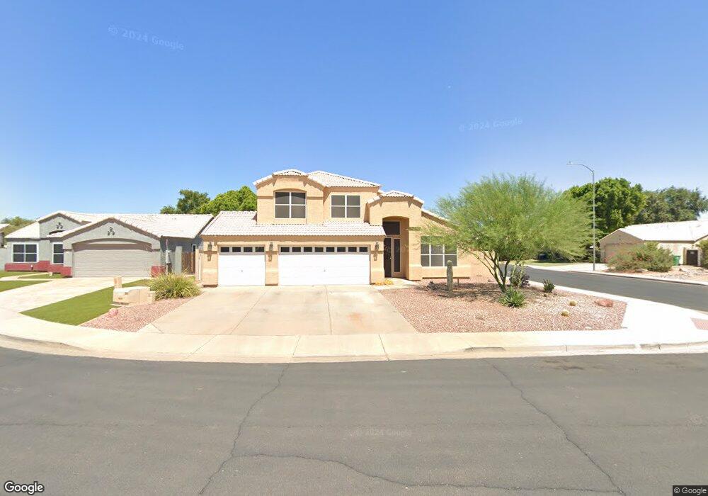
745 S St Paul Cir Mesa, AZ 85206
Sunland Village NeighborhoodEstimated Value: $483,508 - $563,000
--
Bed
3
Baths
2,118
Sq Ft
$249/Sq Ft
Est. Value
About This Home
This home is located at 745 S St Paul Cir, Mesa, AZ 85206 and is currently estimated at $528,377, approximately $249 per square foot. 745 S St Paul Cir is a home located in Maricopa County with nearby schools including Madison Elementary School, Franklin at Brimhall Elementary School, and Franklin West Elementary School.
Ownership History
Date
Name
Owned For
Owner Type
Purchase Details
Closed on
Mar 1, 2025
Sold by
Bell Dean E and Bell Kathleen M
Bought by
Dk Bell Family Trust and Bell
Current Estimated Value
Purchase Details
Closed on
Sep 22, 1994
Sold by
D P Homes Corp
Bought by
Bell Dean E and Bell Kathleen M
Home Financials for this Owner
Home Financials are based on the most recent Mortgage that was taken out on this home.
Original Mortgage
$133,600
Interest Rate
6.37%
Mortgage Type
New Conventional
Purchase Details
Closed on
Sep 13, 1994
Sold by
Citrus Ranch Del Pueblo Ltd Partnership
Bought by
D P Homes Corp
Home Financials for this Owner
Home Financials are based on the most recent Mortgage that was taken out on this home.
Original Mortgage
$133,600
Interest Rate
6.37%
Mortgage Type
New Conventional
Create a Home Valuation Report for This Property
The Home Valuation Report is an in-depth analysis detailing your home's value as well as a comparison with similar homes in the area
Home Values in the Area
Average Home Value in this Area
Purchase History
| Date | Buyer | Sale Price | Title Company |
|---|---|---|---|
| Dk Bell Family Trust | -- | None Listed On Document | |
| Bell Dean E | $140,699 | Chicago Title Insurance Co | |
| D P Homes Corp | -- | Chicago Title Insurance Co |
Source: Public Records
Mortgage History
| Date | Status | Borrower | Loan Amount |
|---|---|---|---|
| Previous Owner | Bell Dean E | $133,600 |
Source: Public Records
Tax History Compared to Growth
Tax History
| Year | Tax Paid | Tax Assessment Tax Assessment Total Assessment is a certain percentage of the fair market value that is determined by local assessors to be the total taxable value of land and additions on the property. | Land | Improvement |
|---|---|---|---|---|
| 2025 | $2,047 | $24,213 | -- | -- |
| 2024 | $2,069 | $23,060 | -- | -- |
| 2023 | $2,069 | $38,530 | $7,700 | $30,830 |
| 2022 | $2,024 | $29,930 | $5,980 | $23,950 |
| 2021 | $2,073 | $28,350 | $5,670 | $22,680 |
| 2020 | $2,044 | $25,870 | $5,170 | $20,700 |
| 2019 | $1,896 | $22,470 | $4,490 | $17,980 |
| 2018 | $1,809 | $21,030 | $4,200 | $16,830 |
| 2017 | $1,753 | $21,080 | $4,210 | $16,870 |
| 2016 | $1,721 | $20,450 | $4,090 | $16,360 |
| 2015 | $1,623 | $19,570 | $3,910 | $15,660 |
Source: Public Records
Map
Nearby Homes
- 5057 E Dragoon Ave
- 5142 E Edgewood Cir
- 542 S Higley Rd Unit 93
- 542 S Higley Rd Unit 49
- 542 S Higley Rd Unit 3
- 636 S Rosemont
- 5109 E Enid Ave
- 5122 E Emerald Cir
- 5225 E Enid Ave Unit 110
- 518 S Racine
- 5309 E Carmel Ave
- 4758 E Delta Ave
- 523 S Roanoke
- 5347 E Carol Ave
- 423 S Racine
- 4651 E Dolphin Ave
- 1050 S Roanoke
- 443 S Reseda
- 720 Douglas Rd Unit 1422
- 524 Merlin -- Unit 1548
- 739 S St Paul Cir
- 746 S Banning Cir
- 740 S Banning Cir
- 5057 E Delta Ave
- 5063 E Delta Ave
- 733 S St Paul Cir
- 5051 E Delta Ave
- 744 S St Paul Cir
- 5103 E Delta Ave
- 734 S Banning Cir
- 738 S St Paul Cir
- 726 S St Paul Cir
- 5045 E Delta Ave
- 5109 E Delta Ave
- 732 S St Paul Cir
- 5039 E Delta Ave
- 5068 E Escondido Ave
- 5106 E Escondido Ave
- 728 N Banning Cir
- 5059 E Diamond Ave