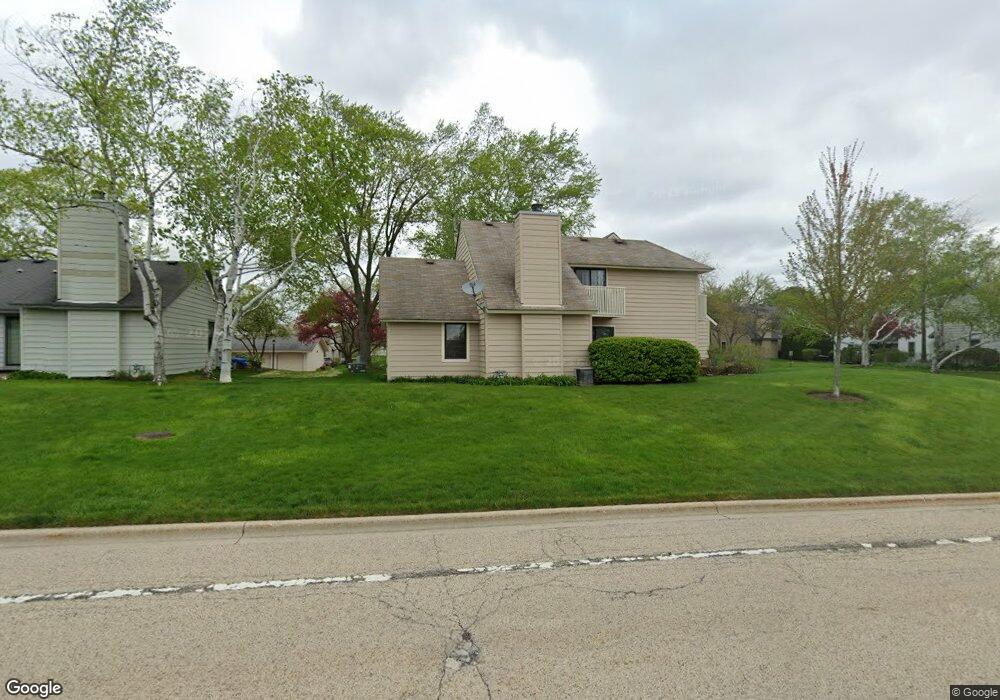
745 Shepard Ct Unit U17 Gurnee, IL 60031
Estimated Value: $199,000 - $226,000
2
Beds
2
Baths
1,162
Sq Ft
$184/Sq Ft
Est. Value
About This Home
This home is located at 745 Shepard Ct Unit U17, Gurnee, IL 60031 and is currently estimated at $214,253, approximately $184 per square foot. 745 Shepard Ct Unit U17 is a home located in Lake County with nearby schools including Woodland Primary School, Woodland Elementary School, and Woodland Intermediate School.
Ownership History
Date
Name
Owned For
Owner Type
Purchase Details
Closed on
Dec 28, 2002
Sold by
Prince Michael K
Bought by
Prince Michael K
Current Estimated Value
Home Financials for this Owner
Home Financials are based on the most recent Mortgage that was taken out on this home.
Original Mortgage
$57,000
Interest Rate
5.86%
Purchase Details
Closed on
Apr 15, 1994
Sold by
Rushing Shawn M
Bought by
Prince Michael K and Prince Anthony P
Home Financials for this Owner
Home Financials are based on the most recent Mortgage that was taken out on this home.
Original Mortgage
$61,000
Interest Rate
7.84%
Purchase Details
Closed on
Sep 15, 1993
Sold by
Devon Bank
Bought by
Rushing Shawn M
Home Financials for this Owner
Home Financials are based on the most recent Mortgage that was taken out on this home.
Original Mortgage
$60,000
Interest Rate
7%
Create a Home Valuation Report for This Property
The Home Valuation Report is an in-depth analysis detailing your home's value as well as a comparison with similar homes in the area
Home Values in the Area
Average Home Value in this Area
Purchase History
| Date | Buyer | Sale Price | Title Company |
|---|---|---|---|
| Prince Michael K | -- | -- | |
| Prince Michael K | $54,000 | Attorneys Natl Title Network | |
| Rushing Shawn M | $50,000 | Imperial Land Title Inc |
Source: Public Records
Mortgage History
| Date | Status | Borrower | Loan Amount |
|---|---|---|---|
| Closed | Prince Michael K | $57,000 | |
| Closed | Prince Michael K | $61,000 | |
| Previous Owner | Rushing Shawn M | $60,000 |
Source: Public Records
Tax History
| Year | Tax Paid | Tax Assessment Tax Assessment Total Assessment is a certain percentage of the fair market value that is determined by local assessors to be the total taxable value of land and additions on the property. | Land | Improvement |
|---|---|---|---|---|
| 2024 | $4,478 | $57,698 | $8,185 | $49,513 |
| 2023 | $4,080 | $53,568 | $7,599 | $45,969 |
| 2022 | $4,080 | $47,862 | $5,929 | $41,933 |
| 2021 | $3,435 | $43,342 | $5,369 | $37,973 |
| 2020 | $3,316 | $42,277 | $5,237 | $37,040 |
| 2019 | $3,216 | $41,050 | $5,085 | $35,965 |
| 2018 | $2,203 | $30,414 | $2,676 | $27,738 |
| 2017 | $2,173 | $29,542 | $2,599 | $26,943 |
| 2016 | $2,136 | $28,226 | $2,483 | $25,743 |
| 2015 | $2,058 | $26,770 | $2,355 | $24,415 |
| 2014 | $1,936 | $25,651 | $2,323 | $23,328 |
| 2012 | $3,075 | $25,848 | $2,341 | $23,507 |
Source: Public Records
Map
Nearby Homes
- 748 Chandler Rd
- 758 Chandler Rd Unit U159
- 705 Colby Ct Unit U78
- 690 Chandler Rd Unit 302
- 650 Whitney Ct Unit 108
- 650 Whitney Ct Unit 211
- 598 Dunham Rd Unit U297
- 920 Vose Dr Unit 106
- 640 Sanders Ct
- 755 Darnell Ln
- 6150 Oakmont Ln
- 6296 Doral Dr
- 33430 N Hunt Club Rd
- 6480 Doral Dr
- 6063 Morningside Ct
- 17150 W Washington St
- 6091 Washington St
- 84 Foxboro Ln Unit 3
- 17635 W Windslow Dr
- 387 Long Hill Rd
- 747 Shepard Ct Unit U18
- 747 Shepard Ct Unit 747
- 749 Shepard Ct Unit U19
- 743 Shepard Ct Unit U21
- 751 Shepard Ct Unit U20
- 741 Shepard Ct Unit U22
- 739 Shepard Ct Unit U23
- 737 Shepard Ct Unit 24
- 746 Drury Ct Unit U11
- 744 Drury Ct Unit U12
- 739 Colby Ct
- 743 Colby Ct Unit U41
- 738 Drury Ct
- 735 Shepard Ct Unit U25
- 750 Drury Ct Unit U9
- 748 Drury Ct Unit U10
- 736 Drury Ct Unit U16
- 733 Shepard Ct Unit U26
- 735 Colby Ct Unit U45
- 742 Drury Ct Unit U13
Your Personal Tour Guide
Ask me questions while you tour the home.