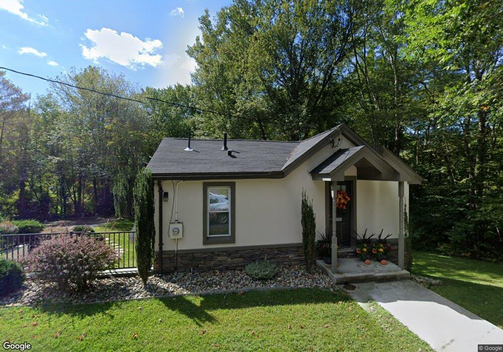
745 Station Rd Amherst, MA 01002
Estimated Value: $367,000 - $472,000
3
Beds
1
Bath
816
Sq Ft
$492/Sq Ft
Est. Value
About This Home
This home is located at 745 Station Rd, Amherst, MA 01002 and is currently estimated at $401,250, approximately $491 per square foot. 745 Station Rd is a home located in Hampshire County with nearby schools including Fort River Elementary School, Amherst Regional Middle School, and Amherst Regional High School.
Ownership History
Date
Name
Owned For
Owner Type
Purchase Details
Closed on
May 5, 2017
Sold by
Fuller 3Rd Charles and Polish National Cu
Bought by
Ivanchenko Benjamin
Current Estimated Value
Purchase Details
Closed on
Apr 23, 2001
Sold by
Weintraub Lynne K
Bought by
Fuller Charles
Home Financials for this Owner
Home Financials are based on the most recent Mortgage that was taken out on this home.
Original Mortgage
$74,400
Interest Rate
6.9%
Mortgage Type
Purchase Money Mortgage
Purchase Details
Closed on
Dec 3, 1993
Sold by
Johnson James B
Bought by
Weintraub Lynne K
Home Financials for this Owner
Home Financials are based on the most recent Mortgage that was taken out on this home.
Original Mortgage
$72,000
Interest Rate
6.69%
Mortgage Type
Purchase Money Mortgage
Create a Home Valuation Report for This Property
The Home Valuation Report is an in-depth analysis detailing your home's value as well as a comparison with similar homes in the area
Home Values in the Area
Average Home Value in this Area
Purchase History
| Date | Buyer | Sale Price | Title Company |
|---|---|---|---|
| Ivanchenko Benjamin | $65,625 | -- | |
| Fuller Charles | $106,000 | -- | |
| Weintraub Lynne K | $80,000 | -- |
Source: Public Records
Mortgage History
| Date | Status | Borrower | Loan Amount |
|---|---|---|---|
| Previous Owner | Weintraub Lynne K | $88,000 | |
| Previous Owner | Weintraub Lynne K | $74,400 | |
| Previous Owner | Weintraub Lynne K | $21,600 | |
| Previous Owner | Weintraub Lynne K | $72,000 |
Source: Public Records
Tax History
| Year | Tax Paid | Tax Assessment Tax Assessment Total Assessment is a certain percentage of the fair market value that is determined by local assessors to be the total taxable value of land and additions on the property. | Land | Improvement |
|---|---|---|---|---|
| 2025 | $62 | $346,700 | $108,700 | $238,000 |
| 2024 | $4,472 | $241,600 | $102,600 | $139,000 |
| 2023 | $2,611 | $129,900 | $93,200 | $36,700 |
| 2022 | $2,501 | $117,600 | $84,800 | $32,800 |
| 2021 | $2,378 | $109,000 | $78,500 | $30,500 |
| 2020 | $2,324 | $109,000 | $78,500 | $30,500 |
| 2019 | $2,322 | $106,500 | $78,500 | $28,000 |
| 2018 | $2,251 | $106,500 | $78,500 | $28,000 |
| 2017 | $2,185 | $100,100 | $74,700 | $25,400 |
| 2016 | $3,970 | $187,100 | $149,500 | $37,600 |
| 2015 | $3,843 | $187,100 | $149,500 | $37,600 |
Source: Public Records
Map
Nearby Homes
- 16 Hawthorn Rd
- 23 Alyssum Dr
- 130 Linden Ridge Rd
- 100 Larkspur Dr
- 97 Gulf Rd
- 27 Summerfield Rd
- 53 Pine Grove Unit 53
- 67 Pine Grove Unit 67
- 1114 S East St
- 6 Eveningstar Dr
- Lot 1 Amherst Rd
- Lots A-C Federal St
- 204 Aubinwood Rd
- 310 Belchertown Rd
- 61 S Valley Rd
- 105 Pomeroy Ln
- 0 Federal St
- 12 Kettle Pond Rd
- 664 Bay Rd
- 0 Heatherstone Rd
Your Personal Tour Guide
Ask me questions while you tour the home.