745 Upper Maple St Danielson, CT 06239
Estimated Value: $298,000 - $342,000
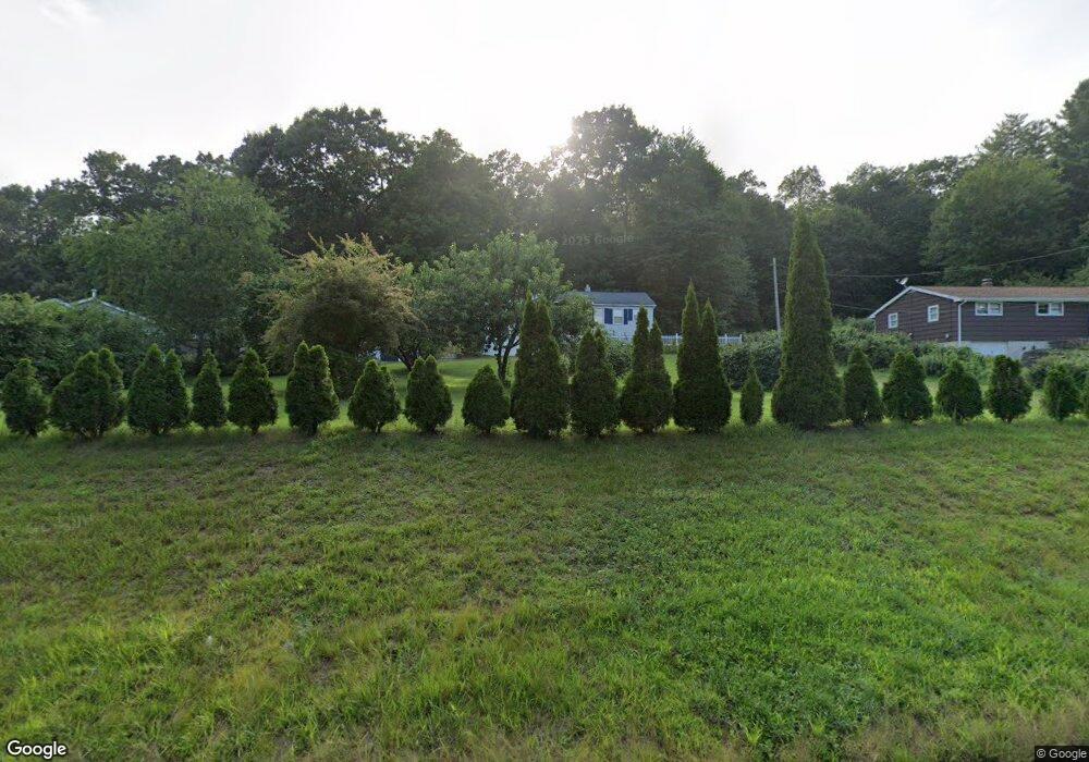
About This Home
This home is located at 745 Upper Maple St, Danielson, CT 06239 and is currently estimated at $318,154, approximately $284 per square foot. 745 Upper Maple St is a home located in Windham County with nearby schools including Killingly Central School, Killingly Memorial School, and Killingly Intermediate School.
Ownership History
We collect this data history from publicly available records. To have your information removed, we recommend requesting removal directly through your county’s website.
Purchase Details
Purchase Details
Purchase Details
Home Values in the Area
Average Home Value in this Area
Purchase History
We collect this data history from publicly available records. To have your information removed, we recommend requesting removal directly through your county’s website.
| Date | Buyer | Sale Price | Title Company |
|---|---|---|---|
| $95,000 | -- | ||
| $95,000 | -- | ||
| $83,500 | -- | ||
| $83,500 | -- | ||
| $105,000 | -- |
Mortgage History
We collect this data history from publicly available records. To have your information removed, we recommend requesting removal directly through your county’s website.
| Date | Status | Borrower | Loan Amount |
|---|---|---|---|
| Closed | $30,000 | ||
| Closed | $5,000 | ||
| Open | $100,000 |
Tax History
We collect this data history from publicly available records. To have your information removed, we recommend requesting removal directly through your county’s website.
| Year | Tax Paid | Tax Assessment Tax Assessment Total Assessment is a certain percentage of the fair market value that is determined by local assessors to be the total taxable value of land and additions on the property. | Land | Improvement |
|---|---|---|---|---|
| 2025 | $3,843 | $165,790 | $29,390 | $136,400 |
| 2024 | $3,652 | $165,790 | $29,390 | $136,400 |
| 2023 | $3,428 | $117,950 | $24,440 | $93,510 |
| 2022 | $3,213 | $117,950 | $24,440 | $93,510 |
| 2021 | $3,213 | $117,950 | $24,430 | $93,520 |
| 2020 | $3,154 | $117,950 | $24,430 | $93,520 |
| 2019 | $3,192 | $117,950 | $24,430 | $93,520 |
| 2017 | $2,687 | $90,300 | $15,750 | $74,550 |
| 2016 | $2,687 | $90,300 | $15,750 | $74,550 |
| 2015 | $2,687 | $90,300 | $15,750 | $74,550 |
| 2014 | $2,615 | $90,300 | $15,750 | $74,550 |
Map
- 760 Upper Maple St
- 8 Cheryl Ave
- 395 Maple St
- 29 Rosedale St
- 48 Athol St Unit 48
- 94 Morin Ave
- 61 Philip Ln
- 47 River Ridge Rd
- 623 N Main St
- 144 Prospect Ave
- 602 N Main St
- 92 State Ave
- 1032 N Main St Unit 3
- 53 Litchfield Ave
- 23 Winter St
- 22 Oak St
- 57 Litchfield Ave
- 37 Ruth St
- 4 Bluebird Ln
- 4 Bluebird Ln Unit 4
- 741 Upper Maple St
- 731 Upper Maple St
- 751 Upper Maple St
- 727 Upper Maple St
- 737 Upper Maple St
- 723 Upper Maple St
- 713 Upper Maple St
- 4 Airport Rd
- 14 Airport Rd
- 20 Airport Rd
- 684 Upper Maple St
- 686 Upper Maple St
- 48 Lens Ave
- 682 Upper Maple St
- 672 Upper Maple St
- 670 Upper Maple St
- 801 Upper Maple St
- 804 Upper Maple St
- 807 Upper Maple St
- 159 Rock Ave
Ask me questions while you tour the home.