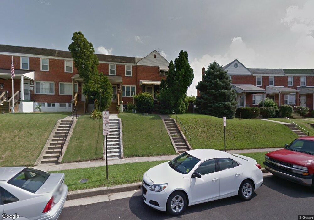
7459 Durwood Rd Dundalk, MD 21222
Estimated Value: $166,259 - $240,000
--
Bed
1
Bath
1,056
Sq Ft
$198/Sq Ft
Est. Value
About This Home
This home is located at 7459 Durwood Rd, Dundalk, MD 21222 and is currently estimated at $208,565, approximately $197 per square foot. 7459 Durwood Rd is a home located in Baltimore County with nearby schools including Berkshire Elementary School, Holabird Middle School, and Dundalk High School.
Ownership History
Date
Name
Owned For
Owner Type
Purchase Details
Closed on
Jan 9, 2009
Sold by
Eff Michael J
Bought by
Eff Nicole Michelle and Eff Heather Marie
Current Estimated Value
Purchase Details
Closed on
Dec 29, 2008
Sold by
Eff Michael J
Bought by
Eff Nicole Michelle and Eff Heather Marie
Purchase Details
Closed on
Feb 4, 2004
Sold by
Eff Michael J
Bought by
Eff Michael J
Purchase Details
Closed on
Oct 31, 1988
Sold by
Cifarelli Joseph P
Bought by
Eff Michael J
Create a Home Valuation Report for This Property
The Home Valuation Report is an in-depth analysis detailing your home's value as well as a comparison with similar homes in the area
Home Values in the Area
Average Home Value in this Area
Purchase History
| Date | Buyer | Sale Price | Title Company |
|---|---|---|---|
| Eff Nicole Michelle | -- | -- | |
| Eff Nicole Michelle | -- | -- | |
| Eff Michael J | -- | -- | |
| Eff Michael J | -- | -- | |
| Eff Michael J | $66,600 | -- |
Source: Public Records
Tax History Compared to Growth
Tax History
| Year | Tax Paid | Tax Assessment Tax Assessment Total Assessment is a certain percentage of the fair market value that is determined by local assessors to be the total taxable value of land and additions on the property. | Land | Improvement |
|---|---|---|---|---|
| 2025 | $2,215 | $144,167 | -- | -- |
| 2024 | $2,215 | $132,933 | $0 | $0 |
| 2023 | $1,023 | $121,700 | $38,000 | $83,700 |
| 2022 | $2,026 | $120,200 | $0 | $0 |
| 2021 | $1,838 | $118,700 | $0 | $0 |
| 2020 | $1,838 | $117,200 | $38,000 | $79,200 |
| 2019 | $1,998 | $114,867 | $0 | $0 |
| 2018 | $2,054 | $112,533 | $0 | $0 |
| 2017 | $2,281 | $110,200 | $0 | $0 |
| 2016 | $1,717 | $110,200 | $0 | $0 |
| 2015 | $1,717 | $110,200 | $0 | $0 |
| 2014 | $1,717 | $118,200 | $0 | $0 |
Source: Public Records
Map
Nearby Homes
- 7432 Manchester Rd
- 7437 Berkshire Rd
- 7521 Lange St
- 7525 Lange St
- 990 Dalton Ave
- 988 Dalton Ave
- 7412 Poplar Ave
- 7420 Poplar Ave
- 1237 Willow Rd
- 7412 Belmont Ave
- 904 Elton Ave
- 7506 Belmont Ave
- 2429 Plainfield Rd
- 1260 Willow Rd
- 1205 N Point Rd
- 0 Hillshire Rd
- 7128 Crestshire Rd
- 1229 N Point Rd
- 800 Northpoint Rd
- 1721 Bayard Ave
- 7461 Durwood Rd
- 7457 Durwood Rd
- 7463 Durwood Rd
- 7465 Durwood Rd
- 7455 Durwood Rd
- 7467 Durwood Rd
- 7453 Durwood Rd
- 7451 Durwood Rd
- 7469 Durwood Rd
- 7449 Durwood Rd
- 7456 Edsworth Rd
- 7482 Rabon Ave
- 7480 Rabon Ave
- 7484 Rabon Ave
- 7478 Rabon Ave
- 7454 Edsworth Rd
- 7486 Rabon Ave
- 7447 Durwood Rd
- 7476 Rabon Ave
- 7488 Rabon Ave