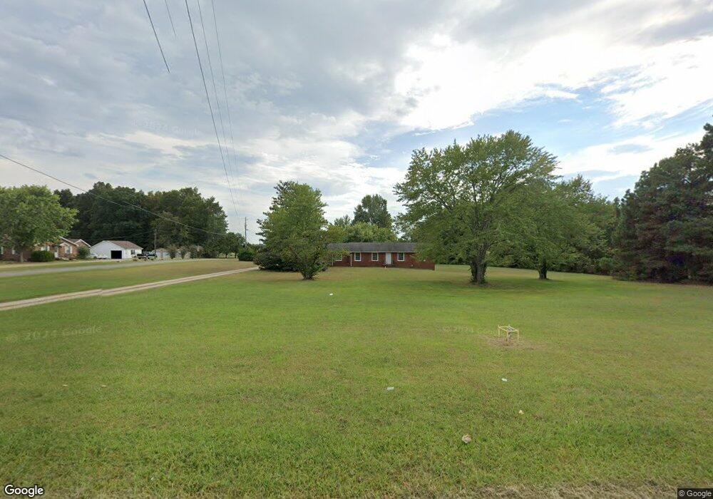
7459 Highway 41a Cedar Hill, TN 37032
Estimated Value: $359,000 - $410,000
--
Bed
2
Baths
2,007
Sq Ft
$195/Sq Ft
Est. Value
About This Home
This home is located at 7459 Highway 41a, Cedar Hill, TN 37032 and is currently estimated at $390,425, approximately $194 per square foot. 7459 Highway 41a is a home located in Cheatham County with nearby schools including Pleasant View Elementary School, Sycamore Middle School, and Sycamore High School.
Ownership History
Date
Name
Owned For
Owner Type
Purchase Details
Closed on
Feb 5, 2024
Sold by
Vann Rita E and Hamel Lydia C
Bought by
Brown Donna Jayne Rorie
Current Estimated Value
Home Financials for this Owner
Home Financials are based on the most recent Mortgage that was taken out on this home.
Original Mortgage
$235,677
Outstanding Balance
$231,615
Interest Rate
7.03%
Mortgage Type
New Conventional
Estimated Equity
$158,810
Purchase Details
Closed on
Jan 12, 2024
Sold by
Rorie Clara M
Bought by
Brown Donna Jayne Rorie
Home Financials for this Owner
Home Financials are based on the most recent Mortgage that was taken out on this home.
Original Mortgage
$235,677
Outstanding Balance
$231,615
Interest Rate
7.03%
Mortgage Type
New Conventional
Estimated Equity
$158,810
Purchase Details
Closed on
May 19, 1962
Bought by
Rorie Bobby
Create a Home Valuation Report for This Property
The Home Valuation Report is an in-depth analysis detailing your home's value as well as a comparison with similar homes in the area
Home Values in the Area
Average Home Value in this Area
Purchase History
| Date | Buyer | Sale Price | Title Company |
|---|---|---|---|
| Brown Donna Jayne Rorie | -- | Stafford Land Title | |
| Brown Donna Jayne Rorie | $353,500 | Stafford Land Title | |
| Rorie Bobby | -- | -- |
Source: Public Records
Mortgage History
| Date | Status | Borrower | Loan Amount |
|---|---|---|---|
| Open | Brown Donna Jayne Rorie | $235,677 |
Source: Public Records
Tax History Compared to Growth
Tax History
| Year | Tax Paid | Tax Assessment Tax Assessment Total Assessment is a certain percentage of the fair market value that is determined by local assessors to be the total taxable value of land and additions on the property. | Land | Improvement |
|---|---|---|---|---|
| 2024 | $1,806 | $104,325 | $22,875 | $81,450 |
| 2023 | $1,773 | $62,250 | $9,425 | $52,825 |
| 2022 | $1,676 | $62,250 | $9,425 | $52,825 |
| 2021 | $1,676 | $62,250 | $9,425 | $52,825 |
| 2020 | $1,676 | $62,250 | $9,425 | $52,825 |
| 2019 | $1,676 | $62,250 | $9,425 | $52,825 |
| 2018 | $1,632 | $52,000 | $9,425 | $42,575 |
| 2017 | $1,544 | $52,000 | $9,425 | $42,575 |
| 2016 | $1,469 | $52,000 | $9,425 | $42,575 |
| 2015 | $1,363 | $45,125 | $9,425 | $35,700 |
| 2014 | $1,363 | $45,125 | $9,425 | $35,700 |
Source: Public Records
Map
Nearby Homes
- 0 Kathleen Dr
- 315 Peggy Dr
- 0 Cedar Hill Unit RTC2944570
- 0 Ross Rd
- 1018 Interstate Park Cir
- 55 Bear Branch Place
- 1059 Kaitlynn Cir
- 1136 Dimple Rd
- 1 Maxey Rd
- 5181 Thomasville Rd
- 2942 Ridge Rd
- 1810 Old Clarksville Pike
- 1726 Old Clarksville Pike
- 1 Old Clarksville Pike
- 2220 Pleasant View Rd
- 3501 Ridge Rd
- 1140 Bateman Ct
- 2453 Beverly Gail Rd
- 2437 Beverly Gail Rd
- 2444 Beverly Gail Rd
- 100 Smith Pozie Ln
- 7460 U S 41 Alternate
- 7485 Highway 41a
- 7455 Highway 41a
- 7496 Highway 41a
- 7531 Highway 41a
- 7460 Highway 41 A
- 7457 Highway 41a
- 0 Highway 41a
- 7525 Highway 41a
- 4290 Highway 41 A
- 4300 Highway 41 A
- 5100 Highway 41 A
- 5688 Highway 41 A
- 4171 Highway 41 A
- 5140 Highway 41 A
- 334 Pennington Ln
- 7449 Highway 41a
- 7449 Highway 41a
- 336 Pennington Ln