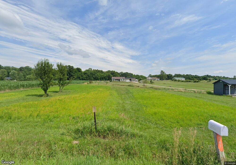
746 County Road 620 Ashland, OH 44805
Estimated Value: $347,000 - $430,000
5
Beds
2
Baths
2,448
Sq Ft
$161/Sq Ft
Est. Value
About This Home
This home is located at 746 County Road 620, Ashland, OH 44805 and is currently estimated at $393,522, approximately $160 per square foot. 746 County Road 620 is a home located in Ashland County with nearby schools including Mapleton Elementary School, Mapleton Middle School, and Mapleton High School.
Ownership History
Date
Name
Owned For
Owner Type
Purchase Details
Closed on
May 25, 2022
Sold by
Johnson Nicholas and Johnson Shelly
Bought by
Johnson Nicholas and Johnson Shelly
Current Estimated Value
Home Financials for this Owner
Home Financials are based on the most recent Mortgage that was taken out on this home.
Original Mortgage
$280,830
Outstanding Balance
$266,494
Interest Rate
5.13%
Mortgage Type
FHA
Estimated Equity
$127,028
Purchase Details
Closed on
May 1, 2006
Bought by
Johnson Nicholas
Purchase Details
Closed on
Mar 25, 2005
Purchase Details
Closed on
Jan 5, 2005
Create a Home Valuation Report for This Property
The Home Valuation Report is an in-depth analysis detailing your home's value as well as a comparison with similar homes in the area
Home Values in the Area
Average Home Value in this Area
Purchase History
| Date | Buyer | Sale Price | Title Company |
|---|---|---|---|
| Johnson Nicholas | $10,500 | None Listed On Document | |
| Johnson Nicholas | $19,900 | -- | |
| -- | -- | -- | |
| -- | -- | -- |
Source: Public Records
Mortgage History
| Date | Status | Borrower | Loan Amount |
|---|---|---|---|
| Open | Johnson Nicholas | $280,830 |
Source: Public Records
Tax History Compared to Growth
Tax History
| Year | Tax Paid | Tax Assessment Tax Assessment Total Assessment is a certain percentage of the fair market value that is determined by local assessors to be the total taxable value of land and additions on the property. | Land | Improvement |
|---|---|---|---|---|
| 2024 | $3,269 | $98,850 | $12,390 | $86,460 |
| 2023 | $3,269 | $98,850 | $12,390 | $86,460 |
| 2022 | $2,940 | $79,080 | $9,910 | $69,170 |
| 2021 | $2,946 | $79,080 | $9,910 | $69,170 |
| 2020 | $2,737 | $79,080 | $9,910 | $69,170 |
| 2019 | $2,373 | $66,530 | $9,830 | $56,700 |
| 2018 | $2,441 | $65,270 | $9,830 | $55,440 |
| 2017 | $2,228 | $57,440 | $9,830 | $47,610 |
| 2016 | $2,014 | $52,220 | $8,940 | $43,280 |
| 2015 | $1,941 | $52,220 | $8,940 | $43,280 |
| 2013 | $2,186 | $56,390 | $8,020 | $48,370 |
Source: Public Records
Map
Nearby Homes
- 590 County Road 801
- 582 County Road 801
- 831 Township Road 462
- 829 County Road 801
- 885 State Route 58
- 504 Ohio 89
- 900 County Road 801
- V/L State Route 511
- 443 Township Road 462
- 413 N Main St
- 3025 Cinnamon Dr W
- 3027 Cinnamon Dr W
- 3201 Manzanita Dr
- 3241 Madrona Ct
- 1498 Carum Place
- 1503 Carum Place
- 3248 Sonora Ln
- 4228 Majorna Dr
- 3266 Arrick Dr
- 3258 Acuminata Dr
- 744 County Road 620
- 754 County Road 620
- 738 County Road 620
- 756 County Road 620
- 613 761
- 734 County Road 620
- 613 Township Road 761
- 605 Township Road 761
- 760 County Road 620
- 757 County Road 620
- 747 County Road 620
- 728 County Road 620
- 759 County Road 620
- 731 County Road 620
- 0 Co Rd 620 Unit 3622965
- 0 Co Rd 620 Unit 20191238
- 0 Co Rd 620 Unit 804517
- 0 Co Rd 620 Unit 604295
- 0 Co Rd 620 Unit 604294
- 0 Co Rd 620 Unit 604291