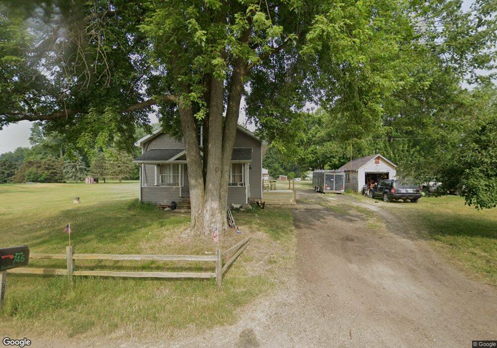
746 George Rd Bronson, MI 49028
Estimated Value: $133,487 - $206,000
Studio
--
Bath
1,302
Sq Ft
$126/Sq Ft
Est. Value
About This Home
This home is located at 746 George Rd, Bronson, MI 49028 and is currently estimated at $164,622, approximately $126 per square foot. 746 George Rd is a home located in Branch County with nearby schools including Ryan Elementary School, Anderson Elementary School, and Bronson Junior/Senior High School.
Ownership History
Date
Name
Owned For
Owner Type
Purchase Details
Closed on
Sep 27, 2021
Sold by
Rinehart Jerry D
Bought by
Rinehart Jerry D and Rinehart Brandy C
Current Estimated Value
Purchase Details
Closed on
May 13, 2005
Sold by
Metzger Gail E and Metzger Mary S
Bought by
Rinehart Jerry D
Home Financials for this Owner
Home Financials are based on the most recent Mortgage that was taken out on this home.
Original Mortgage
$28,125
Outstanding Balance
$9,152
Interest Rate
6.5%
Mortgage Type
Purchase Money Mortgage
Estimated Equity
$155,470
Create a Home Valuation Report for This Property
The Home Valuation Report is an in-depth analysis detailing your home's value as well as a comparison with similar homes in the area
Purchase History
| Date | Buyer | Sale Price | Title Company |
|---|---|---|---|
| Rinehart Jerry D | -- | None Available | |
| Rinehart Jerry D | $25,000 | -- |
Source: Public Records
Mortgage History
| Date | Status | Borrower | Loan Amount |
|---|---|---|---|
| Open | Rinehart Jerry D | $28,125 |
Source: Public Records
Tax History
| Year | Tax Paid | Tax Assessment Tax Assessment Total Assessment is a certain percentage of the fair market value that is determined by local assessors to be the total taxable value of land and additions on the property. | Land | Improvement |
|---|---|---|---|---|
| 2025 | $900 | $53,082 | $0 | $0 |
| 2024 | $3 | $47,344 | $0 | $0 |
| 2023 | $330 | $40,689 | $0 | $0 |
| 2022 | $330 | $38,078 | $0 | $0 |
| 2020 | -- | $37,558 | $0 | $0 |
| 2019 | -- | $34,507 | $0 | $0 |
| 2018 | -- | $33,734 | $0 | $0 |
| 2017 | -- | $35,553 | $0 | $0 |
| 2016 | -- | $36,191 | $0 | $0 |
| 2015 | -- | $32,293 | $0 | $0 |
| 2014 | -- | $29,499 | $0 | $0 |
| 2013 | -- | $32,509 | $0 | $0 |
Source: Public Records
Map
Nearby Homes
- 812 George Rd
- 1051 Brink Rd
- 1015 Brink Rd
- 1052 Carpenter Rd
- 0 Bawden Rd
- 0 Rierson Rd
- 769 Kosmerick Rd
- 773 Gilead Shores Dr
- 755 Whipple Rd
- 658 Fair Dr
- 719 Gilead Shores Dr
- 0 Gilead Shores Dr Unit 26003688
- 1001 Rierson Rd
- 70778 Halsey Square Rd
- 644 S Matteson St
- 368 Cranson Rd
- 505 W Chicago St
- 230 Compton St
- 604 W Front St
- 11585 E 600 N
- 745 George Rd
- 750 George Rd
- 767 George Rd
- 726 George Rd
- 768 George Rd
- 710 George Rd
- 778 George Rd
- 709 George Rd
- 799 George Rd
- 1025 Pleasant Hill Rd
- 1023 Pleasant Hill Rd
- 728 Lilly Rd
- 719 Lilly Rd
- 983 Blosser Rd
- 0 Seilkens Rd Unit 2602568
- 1082 Sielkens Rd
- 963 Blosser Rd
- 685 Lilly Rd
- 000 Blosser Rd
- 0 Lilly Rd
Your Personal Tour Guide
Ask me questions while you tour the home.