746 Mallard Pointe Rd Byrdstown, TN 38549
Estimated Value: $181,000
--
Bed
--
Bath
--
Sq Ft
1.78
Acres
About This Home
This home is located at 746 Mallard Pointe Rd, Byrdstown, TN 38549 and is currently estimated at $181,000. 746 Mallard Pointe Rd is a home located in Pickett County with nearby schools including Pickett County Elementary School and Pickett County High School.
Ownership History
Date
Name
Owned For
Owner Type
Purchase Details
Closed on
May 7, 2024
Sold by
Copeland Ernest and Copeland Nelda
Bought by
Anderson Michael Lance and Anderson Lisa Gayle
Current Estimated Value
Purchase Details
Closed on
Aug 19, 2021
Sold by
Copeland Ernest and Copeland Nelda
Bought by
Anderson Michael and Anderson Lisa
Home Financials for this Owner
Home Financials are based on the most recent Mortgage that was taken out on this home.
Original Mortgage
$100,000
Interest Rate
2.9%
Mortgage Type
Land Contract Argmt. Of Sale
Purchase Details
Closed on
Sep 23, 2002
Purchase Details
Closed on
Dec 17, 1999
Purchase Details
Closed on
Jul 19, 1996
Create a Home Valuation Report for This Property
The Home Valuation Report is an in-depth analysis detailing your home's value as well as a comparison with similar homes in the area
Home Values in the Area
Average Home Value in this Area
Purchase History
| Date | Buyer | Sale Price | Title Company |
|---|---|---|---|
| Anderson Michael Lance | $130,000 | None Listed On Document | |
| Anderson Michael | $130,000 | None Available | |
| -- | $104,900 | -- | |
| -- | $72,000 | -- | |
| -- | $65,000 | -- |
Source: Public Records
Mortgage History
| Date | Status | Borrower | Loan Amount |
|---|---|---|---|
| Previous Owner | Anderson Michael | $100,000 |
Source: Public Records
Tax History Compared to Growth
Tax History
| Year | Tax Paid | Tax Assessment Tax Assessment Total Assessment is a certain percentage of the fair market value that is determined by local assessors to be the total taxable value of land and additions on the property. | Land | Improvement |
|---|---|---|---|---|
| 2025 | $454 | $26,525 | $0 | $0 |
| 2024 | $454 | $26,525 | $4,650 | $21,875 |
| 2023 | $453 | $26,525 | $4,650 | $21,875 |
| 2022 | $460 | $19,100 | $4,050 | $15,050 |
| 2021 | $532 | $22,075 | $7,025 | $15,050 |
| 2020 | $532 | $22,075 | $7,025 | $15,050 |
| 2019 | $543 | $22,075 | $7,025 | $15,050 |
| 2018 | $380 | $22,075 | $7,025 | $15,050 |
| 2017 | $397 | $21,225 | $6,350 | $14,875 |
| 2016 | $397 | $21,225 | $6,350 | $14,875 |
| 2015 | $397 | $21,225 | $0 | $0 |
| 2014 | $397 | $21,225 | $0 | $0 |
Source: Public Records
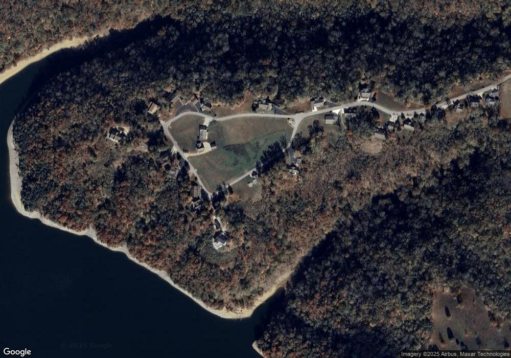
Map
Nearby Homes
- 566 Mallard Pointe Rd
- 5513 Cove Creek Rd
- 1020 Center Ln
- 1007 Eastridge Dr
- 308 Cosby Parris Rd
- 572 Lakeside Rd
- 502 Midnight Dr
- 0 Midnight Dr
- 122 Abby Ln
- 0 Keisling Ridge Rd Unit LotWP001 21177271
- 0 Keisling Ridge Rd Unit RTC2823717
- 0 Keisling Ridge Rd
- 158 Bob Neal Ln
- 230 Storyland Dr
- 0 W Main Old Hwy 42
- LOT # 16 Obey River Shres
- 00 Hassler Ln
- 108 Lanham Ln
- 1250 Hill Cemetery Rd
- 1080 Dale Hollow Estates Rd
- 571 Mallard Pointe Rd
- 533 Mallard Pointe Rd
- 23 Mallard Pointe Rd
- 24 Mallard Pointe Rd
- Lot 29 Mallard Pointe Rd
- lot 9 Mallard Pointe Rd
- lot #29 Mallard Pointe Rd
- 549 Mallard Pointe Rd
- 0 Mallard Pointe Rd Unit 191464
- 0 Mallard Pointe Rd Unit 191465
- 0 Mallard Pointe Rd Unit 191466
- Lot 23 Mallard Pointe Rd
- Lot 24 Mallard Pointe Rd
- 0 Mallard Pointe Rd Unit RTC2505129
- 0 Mallard Pointe Rd Unit RTC2505128
- 0 Mallard Pointe Rd Unit RTC2505127
- 0 Mallard Pointe Rd Unit LOT 29 208439
- 0 Mallard Pointe Rd Unit LOT 9 205094
- 0 Mallard Pointe Rd Unit 195896
- 0 Mallard Pointe Rd Unit 195866