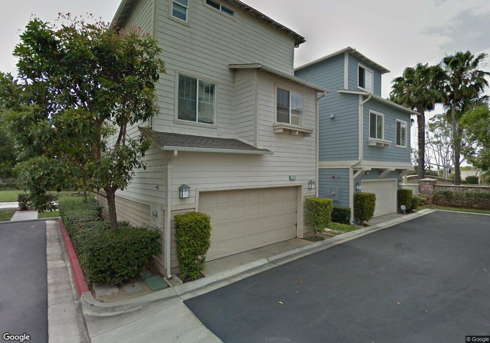
7462 Upper Bay Dr Unit 57 Huntington Beach, CA 92648
Estimated Value: $831,000 - $1,037,000
3
Beds
3
Baths
1,590
Sq Ft
$581/Sq Ft
Est. Value
About This Home
This home is located at 7462 Upper Bay Dr Unit 57, Huntington Beach, CA 92648 and is currently estimated at $924,548, approximately $581 per square foot. 7462 Upper Bay Dr Unit 57 is a home located in Orange County with nearby schools including Agnes L. Smith Elementary, Ethel Dwyer Middle, and Huntington Beach High School.
Ownership History
Date
Name
Owned For
Owner Type
Purchase Details
Closed on
Oct 7, 1999
Sold by
Wl Homes Llc
Bought by
Nguyen Qui
Current Estimated Value
Home Financials for this Owner
Home Financials are based on the most recent Mortgage that was taken out on this home.
Original Mortgage
$110,000
Interest Rate
7.82%
Create a Home Valuation Report for This Property
The Home Valuation Report is an in-depth analysis detailing your home's value as well as a comparison with similar homes in the area
Home Values in the Area
Average Home Value in this Area
Purchase History
| Date | Buyer | Sale Price | Title Company |
|---|---|---|---|
| Nguyen Qui | $246,500 | First American Title Ins Co |
Source: Public Records
Mortgage History
| Date | Status | Borrower | Loan Amount |
|---|---|---|---|
| Previous Owner | Nguyen Qui | $110,000 |
Source: Public Records
Tax History Compared to Growth
Tax History
| Year | Tax Paid | Tax Assessment Tax Assessment Total Assessment is a certain percentage of the fair market value that is determined by local assessors to be the total taxable value of land and additions on the property. | Land | Improvement |
|---|---|---|---|---|
| 2025 | $4,400 | $378,341 | $140,364 | $237,977 |
| 2024 | $4,400 | $370,923 | $137,612 | $233,311 |
| 2023 | $4,297 | $363,650 | $134,913 | $228,737 |
| 2022 | $4,183 | $356,520 | $132,268 | $224,252 |
| 2021 | $4,105 | $349,530 | $129,675 | $219,855 |
| 2020 | $4,077 | $345,946 | $128,345 | $217,601 |
| 2019 | $4,029 | $339,163 | $125,828 | $213,335 |
| 2018 | $3,967 | $332,513 | $123,361 | $209,152 |
| 2017 | $3,913 | $325,994 | $120,943 | $205,051 |
| 2016 | $3,743 | $319,602 | $118,571 | $201,031 |
| 2015 | $3,706 | $314,802 | $116,790 | $198,012 |
| 2014 | $3,627 | $308,636 | $114,502 | $194,134 |
Source: Public Records
Map
Nearby Homes
- 19031 Main St Unit 105
- 19041 Main St Unit 109
- 19051 Main St Unit 105
- 19051 Main St Unit 113
- 19051 Main St Unit 101
- 19071 Main St Unit 117
- 19071 Main St Unit 105
- 19071 Main St Unit 113
- 19011 Main St Unit 129
- 19011 Main St Unit 113
- 19052 Oceanport Ln Unit 5
- 19061 Main St Unit 101
- 7270 Crystal Dr
- 19091 Azul Ln
- 7445 Seastar Dr Unit 6
- 19132 Shoreline Ln Unit 8
- 18812 Desmond Ln
- 18871 Kithira Cir
- 19172 Holly Ln Unit D
- 18859 Milos Cir
- 7464 Upper Bay Dr Unit 56
- 18938 Coolwater Ln Unit 58
- 7458 Upper Bay Dr
- 18942 Coolwater Ln Unit 59
- 7456 Upper Bay Dr
- 18946 Coolwater Ln Unit 60
- 7452 Upper Bay Dr Unit 51
- 18934 Coolwater Ln Unit 63
- 18930 Coolwater Ln
- 7442 Upper Bay Dr
- 7444 Upper Bay Dr Unit 52
- 18928 Coolwater Ln Unit 61
- 7450 Upper Bay Dr Unit 50
- 7448 Upper Bay Dr
- 18937 Coolwater Ln Unit 129
- 7581 Quiet Cove Cir Unit 38
- 18933 Coolwater Ln Unit 130
- 18916 Coolwater Ln
- 7579 Quiet Cove Cir Unit 37
- 18920 Coolwater Ln Unit 65