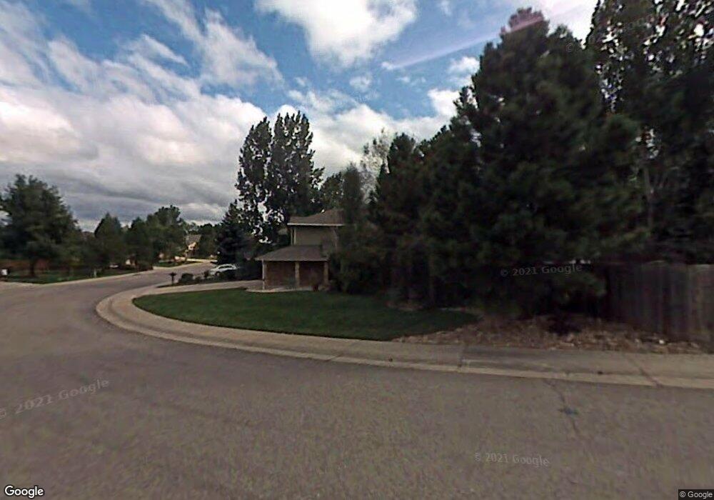
7463 Berkeley Cir Castle Pines, CO 80108
Estimated Value: $825,000 - $1,070,000
3
Beds
3
Baths
3,047
Sq Ft
$295/Sq Ft
Est. Value
About This Home
This home is located at 7463 Berkeley Cir, Castle Pines, CO 80108 and is currently estimated at $899,168, approximately $295 per square foot. 7463 Berkeley Cir is a home located in Douglas County with nearby schools including Buffalo Ridge Elementary School, Rocky Heights Middle School, and Rock Canyon High School.
Ownership History
Date
Name
Owned For
Owner Type
Purchase Details
Closed on
Mar 28, 2003
Sold by
Barela Michael C and Barela Deborah E
Bought by
Tweed David A and Tweed Sarah A
Current Estimated Value
Home Financials for this Owner
Home Financials are based on the most recent Mortgage that was taken out on this home.
Original Mortgage
$270,800
Outstanding Balance
$117,359
Interest Rate
5.87%
Estimated Equity
$781,810
Purchase Details
Closed on
Mar 22, 1991
Sold by
Funk Robert Martin and Funk Judy Ann
Bought by
Barela Michael C and Barela Deborah E
Purchase Details
Closed on
Mar 20, 1987
Sold by
Writer Corp
Bought by
Funk Robert Martin and Funk Judy Ann
Create a Home Valuation Report for This Property
The Home Valuation Report is an in-depth analysis detailing your home's value as well as a comparison with similar homes in the area
Home Values in the Area
Average Home Value in this Area
Purchase History
| Date | Buyer | Sale Price | Title Company |
|---|---|---|---|
| Tweed David A | $338,500 | Land Title Guarantee Company | |
| Barela Michael C | $158,000 | -- | |
| Funk Robert Martin | $193,800 | -- |
Source: Public Records
Mortgage History
| Date | Status | Borrower | Loan Amount |
|---|---|---|---|
| Open | Tweed David A | $270,800 | |
| Closed | Tweed David A | $33,850 |
Source: Public Records
Tax History Compared to Growth
Tax History
| Year | Tax Paid | Tax Assessment Tax Assessment Total Assessment is a certain percentage of the fair market value that is determined by local assessors to be the total taxable value of land and additions on the property. | Land | Improvement |
|---|---|---|---|---|
| 2024 | $5,752 | $61,810 | $13,830 | $47,980 |
| 2023 | $5,807 | $61,810 | $13,830 | $47,980 |
| 2022 | $4,307 | $44,660 | $9,510 | $35,150 |
| 2021 | $4,478 | $44,660 | $9,510 | $35,150 |
| 2020 | $4,384 | $43,400 | $9,000 | $34,400 |
| 2019 | $4,398 | $43,400 | $9,000 | $34,400 |
| 2018 | $3,839 | $37,350 | $8,730 | $28,620 |
| 2017 | $3,606 | $37,350 | $8,730 | $28,620 |
| 2016 | $4,201 | $38,230 | $8,360 | $29,870 |
| 2015 | $4,670 | $38,230 | $8,360 | $29,870 |
| 2014 | $4,181 | $32,640 | $7,560 | $25,080 |
Source: Public Records
Map
Nearby Homes
- 7399 Norfolk Place
- 750 Deer Clover Cir
- 811 Deer Clover Cir
- 7350 Brixham Cir
- 1006 Snow Lily Ct
- 7648 Bristolwood Dr
- 939 Greenway Ln
- 1055 Deer Clover Way
- 1033 Buffalo Ridge Rd
- 7218 Campden Place
- 894 Parkcliff Ln
- 527 Stonemont Dr
- 7164 Havenwood Dr
- 721 Stonemont Ct
- 306 Clare Dr
- 8114 Briar Ridge Dr
- 252 Huntley Ct
- 1083 Golf Estates Point
- 1095 Golf Estates Point Unit 13
- 8166 Wetherill Cir
- 7453 Berkeley Cir
- 7422 Pembroke Ct
- 7412 Pembroke Ct
- 7443 Berkeley Cir
- 7465 Raven Ct
- 7462 Berkeley Cir
- 7452 Berkeley Cir
- 7466 Raven Ct
- 7442 Pembroke Ct
- 7475 Raven Ct
- 7423 Berkeley Cir
- 7432 Berkeley Cir
- 7360 Rochester Ct
- 7401 Pembroke Ct
- 7476 Raven Ct
- 7452 Pembroke Ct
- 7421 Pembroke Ct
- 7411 Pembroke Ct
- 7422 Berkeley Cir
- 7350 Rochester Ct