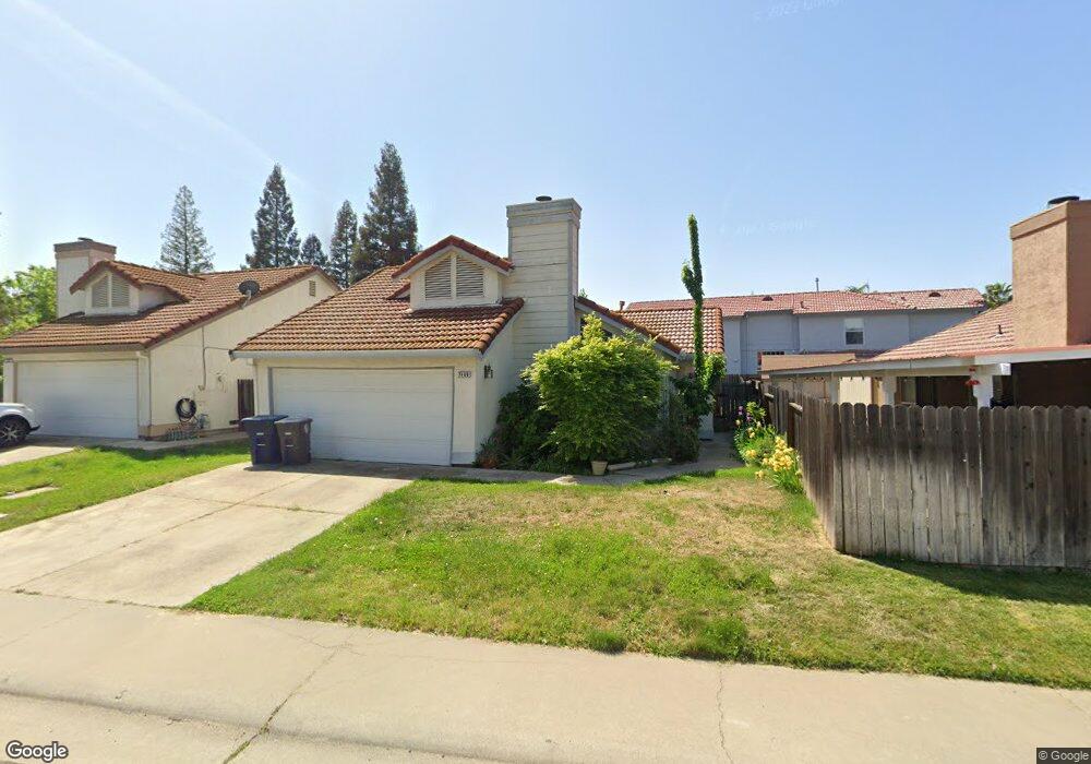
7469 Fireweed Cir Citrus Heights, CA 95610
Estimated Value: $263,000 - $511,000
3
Beds
2
Baths
1,345
Sq Ft
$319/Sq Ft
Est. Value
About This Home
This home is located at 7469 Fireweed Cir, Citrus Heights, CA 95610 and is currently estimated at $428,611, approximately $318 per square foot. 7469 Fireweed Cir is a home located in Sacramento County with nearby schools including Woodside K-8, San Juan High School, and American River Collegiate Academy.
Ownership History
Date
Name
Owned For
Owner Type
Purchase Details
Closed on
Sep 12, 2002
Sold by
Kawamoto Genshiro
Bought by
Price Laurie S
Current Estimated Value
Home Financials for this Owner
Home Financials are based on the most recent Mortgage that was taken out on this home.
Original Mortgage
$159,200
Outstanding Balance
$66,115
Interest Rate
6.16%
Estimated Equity
$362,496
Create a Home Valuation Report for This Property
The Home Valuation Report is an in-depth analysis detailing your home's value as well as a comparison with similar homes in the area
Home Values in the Area
Average Home Value in this Area
Purchase History
| Date | Buyer | Sale Price | Title Company |
|---|---|---|---|
| Price Laurie S | -- | First American Title Ins Co |
Source: Public Records
Mortgage History
| Date | Status | Borrower | Loan Amount |
|---|---|---|---|
| Open | Price Laurie S | $159,200 |
Source: Public Records
Tax History Compared to Growth
Tax History
| Year | Tax Paid | Tax Assessment Tax Assessment Total Assessment is a certain percentage of the fair market value that is determined by local assessors to be the total taxable value of land and additions on the property. | Land | Improvement |
|---|---|---|---|---|
| 2025 | $3,375 | $288,191 | $72,401 | $215,790 |
| 2024 | $3,375 | $282,541 | $70,982 | $211,559 |
| 2023 | $3,289 | $277,002 | $69,591 | $207,411 |
| 2022 | $3,271 | $271,572 | $68,227 | $203,345 |
| 2021 | $3,216 | $266,248 | $66,890 | $199,358 |
| 2020 | $3,156 | $263,519 | $66,205 | $197,314 |
| 2019 | $3,092 | $258,353 | $64,907 | $193,446 |
| 2018 | $3,056 | $253,288 | $63,635 | $189,653 |
| 2017 | $3,025 | $248,323 | $62,388 | $185,935 |
| 2016 | $2,828 | $243,455 | $61,165 | $182,290 |
| 2015 | $2,779 | $239,799 | $60,247 | $179,552 |
| 2014 | $2,721 | $235,102 | $59,067 | $176,035 |
Source: Public Records
Map
Nearby Homes
- 8429 Menke Way
- 7720 Claypool Way
- 7260 Mandarin Cir
- 8317 Keyesport Way
- 7616 Wooddale Way
- 8205 Lash Larue Ln
- 7517 Quail Vista Ln
- 7156 Melva St
- 7737 Wachtel Way
- 8230 Streng Ave
- 7732 Smoley Way
- 8000 Aspen Ln
- 7504 Wooddale Way
- 8358 Cedarwood Ln Unit 72
- 8620 La Paenda Way
- 7121 Almond Ave
- 7812 Auburn Woods Dr
- 8311 Juglans Dr
- 6929 Lyonia Way
- 6813 Mellodora Dr
- 7463 Fireweed Cir
- 8372 Shasta Daisy Ct
- 8368 Shasta Daisy Ct
- 8367 Foxglove Ct
- 8371 Foxglove Ct
- 8375 Foxglove Ct
- 7470 Fireweed Cir
- 7474 Fireweed Cir
- 7466 Fireweed Cir
- 3096 Shasta Daisy Ct
- 3104 Shasta Daisy Ct
- 7462 Fireweed Cir
- 7478 Fireweed Cir
- 7458 Fireweed Cir
- 8360 Shasta Daisy Ct
- 7482 Fireweed Cir
- 7454 Fireweed Cir
- 8381 Trellium Ct
- 8361 Foxglove Ct
- 8380 Trellium Ct