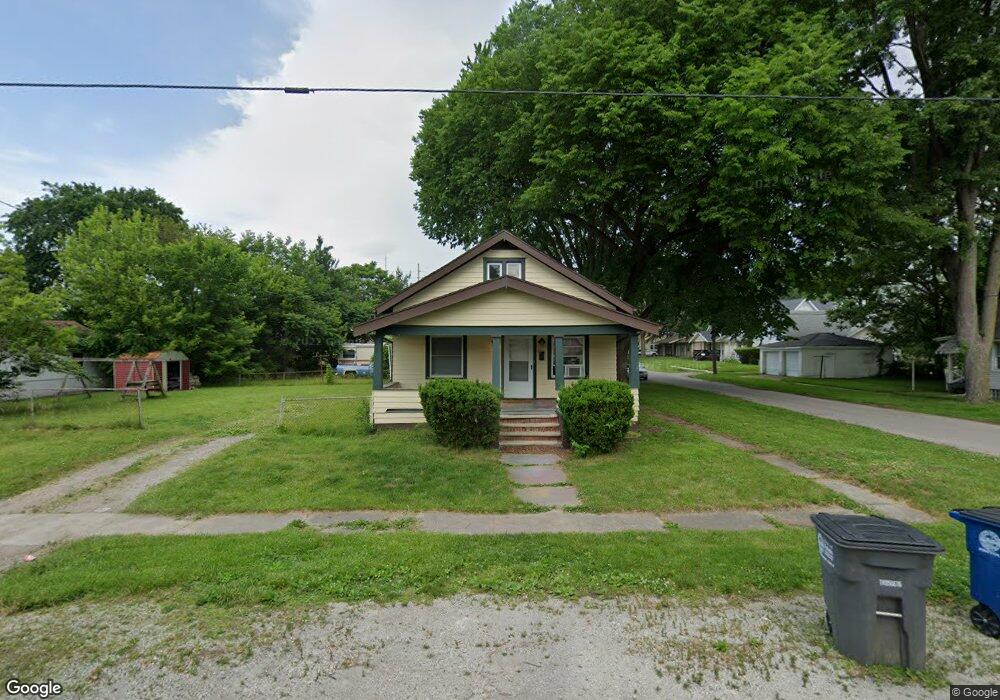
747 N University Ave Toledo, OH 43607
Scott Park NeighborhoodEstimated Value: $62,174 - $102,000
2
Beds
1
Bath
896
Sq Ft
$85/Sq Ft
Est. Value
About This Home
This home is located at 747 N University Ave, Toledo, OH 43607 and is currently estimated at $76,544, approximately $85 per square foot. 747 N University Ave is a home located in Lucas County with nearby schools including Jesup W. Scott High School, Explorers Academy, and Toledo SMART Bilingual Elementary.
Ownership History
Date
Name
Owned For
Owner Type
Purchase Details
Closed on
Nov 30, 2000
Sold by
Tinsley Kathryn R
Bought by
Dotson Charles E and Dotson Donna R K
Current Estimated Value
Home Financials for this Owner
Home Financials are based on the most recent Mortgage that was taken out on this home.
Original Mortgage
$27,000
Interest Rate
7.7%
Mortgage Type
Purchase Money Mortgage
Create a Home Valuation Report for This Property
The Home Valuation Report is an in-depth analysis detailing your home's value as well as a comparison with similar homes in the area
Home Values in the Area
Average Home Value in this Area
Purchase History
| Date | Buyer | Sale Price | Title Company |
|---|---|---|---|
| Dotson Charles E | $30,000 | -- |
Source: Public Records
Mortgage History
| Date | Status | Borrower | Loan Amount |
|---|---|---|---|
| Closed | Dotson Charles E | $27,000 |
Source: Public Records
Tax History Compared to Growth
Tax History
| Year | Tax Paid | Tax Assessment Tax Assessment Total Assessment is a certain percentage of the fair market value that is determined by local assessors to be the total taxable value of land and additions on the property. | Land | Improvement |
|---|---|---|---|---|
| 2024 | $1,424 | $16,660 | $6,125 | $10,535 |
| 2023 | $1,303 | $15,295 | $5,985 | $9,310 |
| 2022 | $1,577 | $15,295 | $5,985 | $9,310 |
| 2021 | $1,317 | $15,295 | $5,985 | $9,310 |
| 2020 | $1,323 | $12,740 | $4,935 | $7,805 |
| 2019 | $1,257 | $12,740 | $4,935 | $7,805 |
| 2018 | $1,270 | $12,740 | $4,935 | $7,805 |
| 2017 | $3,612 | $12,460 | $4,830 | $7,630 |
| 2016 | $2,033 | $35,600 | $13,800 | $21,800 |
| 2015 | $1,325 | $35,600 | $13,800 | $21,800 |
| 2014 | $784 | $12,460 | $4,830 | $7,630 |
| 2013 | $784 | $12,460 | $4,830 | $7,630 |
Source: Public Records
Map
Nearby Homes
- 811 N University Ave
- 908 Coventry Ave
- 913 Coventry Ave
- 1114 Parkside Blvd
- 742 Marmion Ave
- 726 Marmion Ave
- 1116 Woodstock Ave
- 2145 Dorr St
- 1215 Woodstock Ave
- 1026 Marmion Ave
- 605 Waverly Ave
- 1004 Waverly Ave
- 1318 Addington Rd
- 2033 Crosswell Place
- 1427 Potomac Dr
- 1429 Potomac Dr
- 1310 Waverly Ave
- 1408 Roosevelt Ave
- 1211 Manila St
- 1702 Alvin St
- 2249 Forrer St
- 737 N University Ave
- 2253 Forrer St
- 805 N University Ave
- 731 N University Ave
- 2259 Forrer St
- 808 N University Ave
- 748 N University Ave
- 813 N University Ave
- 740 N University Ave
- 804 N University Ave
- 738 N University Ave
- 2261 Forrer St
- 2254 Forrer St
- 736 N University Ave
- 815 N University Ave
- 2258 Forrer St
- 2260 Forrer St
- 2265 Forrer St
- 810 N University Ave