748 Brook Cir E Montrose, MN 55363
Estimated Value: $321,000 - $366,000
3
Beds
2
Baths
1,452
Sq Ft
$236/Sq Ft
Est. Value
About This Home
This home is located at 748 Brook Cir E, Montrose, MN 55363 and is currently estimated at $343,113, approximately $236 per square foot. 748 Brook Cir E is a home located in Wright County with nearby schools including Montrose Elementary School, Buffalo Community Middle School, and Buffalo Senior High School.
Ownership History
Date
Name
Owned For
Owner Type
Purchase Details
Closed on
May 19, 2017
Sold by
Smith Casandra and Smith Travis
Bought by
Widmark Megan and Aamodt Max
Current Estimated Value
Purchase Details
Closed on
Jul 27, 2011
Sold by
Federal Natl Mtg Assoc
Bought by
Not Provided
Purchase Details
Closed on
Oct 28, 2004
Sold by
Key Land Homes
Bought by
Sanchez Javier F and Sanchez Vianney Romero
Create a Home Valuation Report for This Property
The Home Valuation Report is an in-depth analysis detailing your home's value as well as a comparison with similar homes in the area
Home Values in the Area
Average Home Value in this Area
Purchase History
| Date | Buyer | Sale Price | Title Company |
|---|---|---|---|
| Widmark Megan | $198,300 | None Available | |
| Not Provided | $125,000 | -- | |
| Sanchez Javier F | $209,600 | -- | |
| Key Land Homes | $39,500 | -- |
Source: Public Records
Tax History Compared to Growth
Tax History
| Year | Tax Paid | Tax Assessment Tax Assessment Total Assessment is a certain percentage of the fair market value that is determined by local assessors to be the total taxable value of land and additions on the property. | Land | Improvement |
|---|---|---|---|---|
| 2025 | $3,890 | $311,800 | $67,000 | $244,800 |
| 2024 | $3,640 | $313,400 | $77,000 | $236,400 |
| 2023 | $3,442 | $321,800 | $77,000 | $244,800 |
| 2022 | $3,182 | $282,100 | $69,000 | $213,100 |
| 2021 | $3,194 | $227,500 | $35,000 | $192,500 |
| 2020 | $3,150 | $223,300 | $35,000 | $188,300 |
| 2019 | $2,720 | $216,500 | $0 | $0 |
| 2018 | $2,468 | $176,300 | $0 | $0 |
| 2017 | $2,230 | $160,900 | $0 | $0 |
| 2016 | $2,120 | $0 | $0 | $0 |
| 2015 | $2,076 | $0 | $0 | $0 |
| 2014 | -- | $0 | $0 | $0 |
Source: Public Records
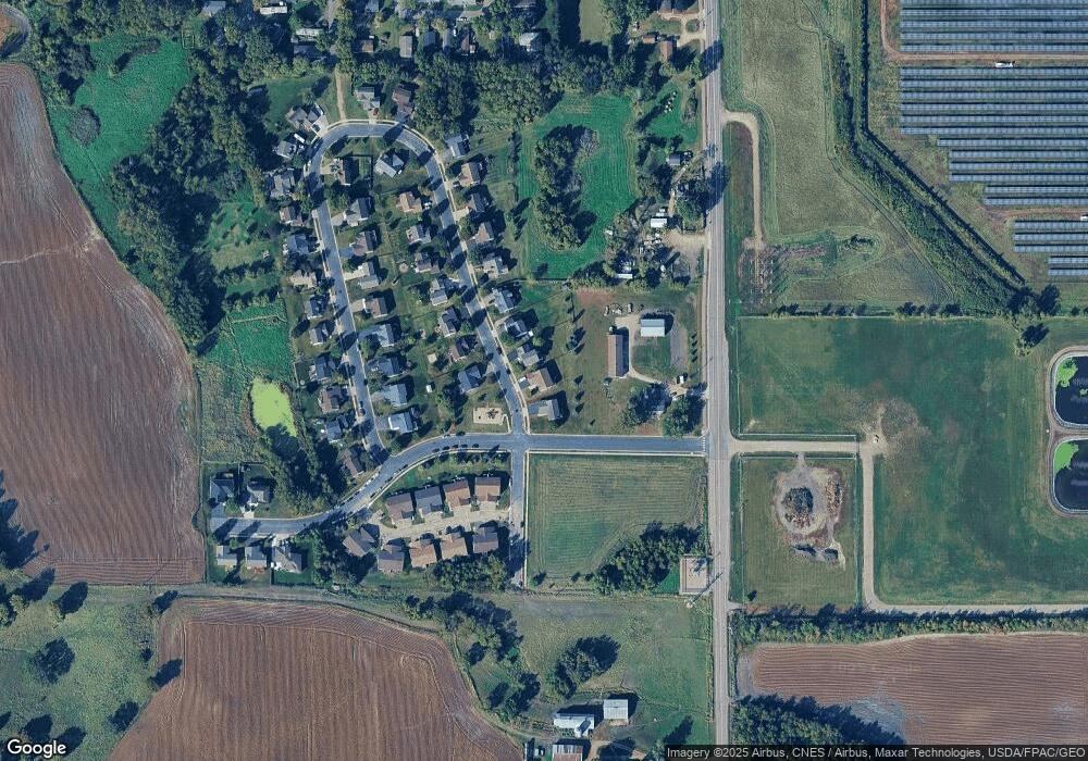
Map
Nearby Homes
- 301 Center Ave S
- 517 2nd St S
- 305 Garfield Ave S
- 150 Pheasant Ridge Dr
- 1766 US Highway 12 SW
- 137 Pheasant Ridge Dr
- 161 Mindy Ln Unit 9
- 149 Mindy Ln
- 426 Dillon Ave N
- 140 Garner Cir
- 151 Garner Cir
- 610 Emerson Ave N
- 2113 Birch Ln
- 2010 Apple Ln
- 2008 Apple Ln
- 683 Aspen Ln
- 2105 Birch Ln
- 684 Aspen Ln
- 2002 Apple Ln
- 685 Aspen Ln
- 750 Brook Cir E
- 744 Brook Cir E
- 6405 State Highway 25 SW
- 747 Brook Cir E
- 742 Brook Cir E
- 745 Brook Cir E
- 743 Brook Cir E
- 740 Brook Cir E
- 201 Rock Brook Blvd
- 203 Rock Brook Blvd
- 205 Rock Brook Blvd
- 741 Brook Cir E
- 704 704 Brook-Circle-w
- 704 Brook Cir W
- 207 Rock Brook Blvd
- 708 Brook Cir W
- 708 708 Brook-Circle-w
- 738 Brook Cir E
- 706 Brook Cir W
- 710 Brook Cir W