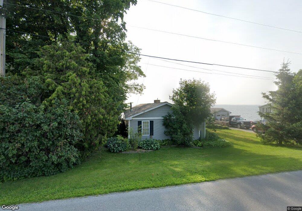
748 Maquam Shore Rd Swanton, VT 05488
Estimated Value: $500,514 - $619,000
3
Beds
2
Baths
1,392
Sq Ft
$412/Sq Ft
Est. Value
About This Home
This home is located at 748 Maquam Shore Rd, Swanton, VT 05488 and is currently estimated at $574,129, approximately $412 per square foot. 748 Maquam Shore Rd is a home located in Franklin County with nearby schools including St. Albans Town Educational Center.
Ownership History
Date
Name
Owned For
Owner Type
Purchase Details
Closed on
May 20, 2009
Sold by
Pomarico Stephen
Bought by
Connaway Elberon
Current Estimated Value
Purchase Details
Closed on
Mar 23, 2007
Sold by
Wells Fargo Bank Minnesota Na Truste
Bought by
Pomarico Stephen
Purchase Details
Closed on
Jul 26, 2006
Sold by
Komasa Thomas J
Bought by
Wells Fargo Bank
Purchase Details
Closed on
Jan 27, 2004
Sold by
Komasa Thomas J
Bought by
Wells Fargo Bank Na
Purchase Details
Closed on
Apr 28, 2000
Sold by
Casperson-Lapine Gail
Bought by
Komasa Thomas
Create a Home Valuation Report for This Property
The Home Valuation Report is an in-depth analysis detailing your home's value as well as a comparison with similar homes in the area
Home Values in the Area
Average Home Value in this Area
Purchase History
| Date | Buyer | Sale Price | Title Company |
|---|---|---|---|
| Connaway Elberon | $303,250 | -- | |
| Pomarico Stephen | $180,000 | -- | |
| Wells Fargo Bank | -- | -- | |
| Wells Fargo Bank Na | -- | -- | |
| Komasa Thomas | $150,000 | -- |
Source: Public Records
Tax History Compared to Growth
Tax History
| Year | Tax Paid | Tax Assessment Tax Assessment Total Assessment is a certain percentage of the fair market value that is determined by local assessors to be the total taxable value of land and additions on the property. | Land | Improvement |
|---|---|---|---|---|
| 2024 | -- | $338,400 | $195,400 | $143,000 |
| 2023 | -- | $338,400 | $195,400 | $143,000 |
| 2022 | $6,646 | $338,400 | $195,400 | $143,000 |
| 2021 | $6,690 | $338,400 | $195,400 | $143,000 |
| 2020 | $6,208 | $338,400 | $195,400 | $143,000 |
| 2019 | $5,984 | $338,400 | $195,400 | $143,000 |
| 2018 | $8,507 | $338,400 | $195,400 | $143,000 |
| 2017 | $5,702 | $338,400 | $195,400 | $143,000 |
| 2016 | $5,946 | $338,400 | $195,400 | $143,000 |
Source: Public Records
Map
Nearby Homes
- 4756 Maquam Shore Rd
- 244 Tranquility Ln
- 4455 Lower Newton Rd
- 1001 Samson Rd
- 2 Andersen Ln
- 4300 Butler Island W
- 437 Lapan Rd
- 570 Lapan Rd
- 1679 Kellogg Rd
- 79 Hickory House Rd
- 480 Lakeview Dr
- 880 Lakeview Dr
- 1 Meadow View Dr
- Lot 7 Bailey's Run
- 600 Fairfax Lot 3 Rd
- 283 N End Rd E
- 162 Maquam Shore Rd
- 499 Lake Rd
- 497 Lake Rd
- 52 Cody Dr
- 750 Maquam Shore Rd
- 746 Maquam Shore Rd
- 4790 Maquam Shore Rd
- 4799 Maquam Shore Rd
- 4784 Maquam Shore Rd
- 744 Maquam Shore Rd
- 744 Maquam Shore Rd
- 752 Maquam Shore Rd
- 21 Adirondak Dr
- 742 Maquam Shore Rd
- 741 Maquam Shore Rd
- 740 Maquam Shore Rd
- 22 Adirondak Dr
- 83 Adirondak Dr
- 756 Maquam Shore Rd
- 738 Maquam Shore Rd
- 64 Adirondak Dr
- 755 Maquam Shore Rd
- 739 Maquam Shore Rd
- 736 Maquam Shore Rd