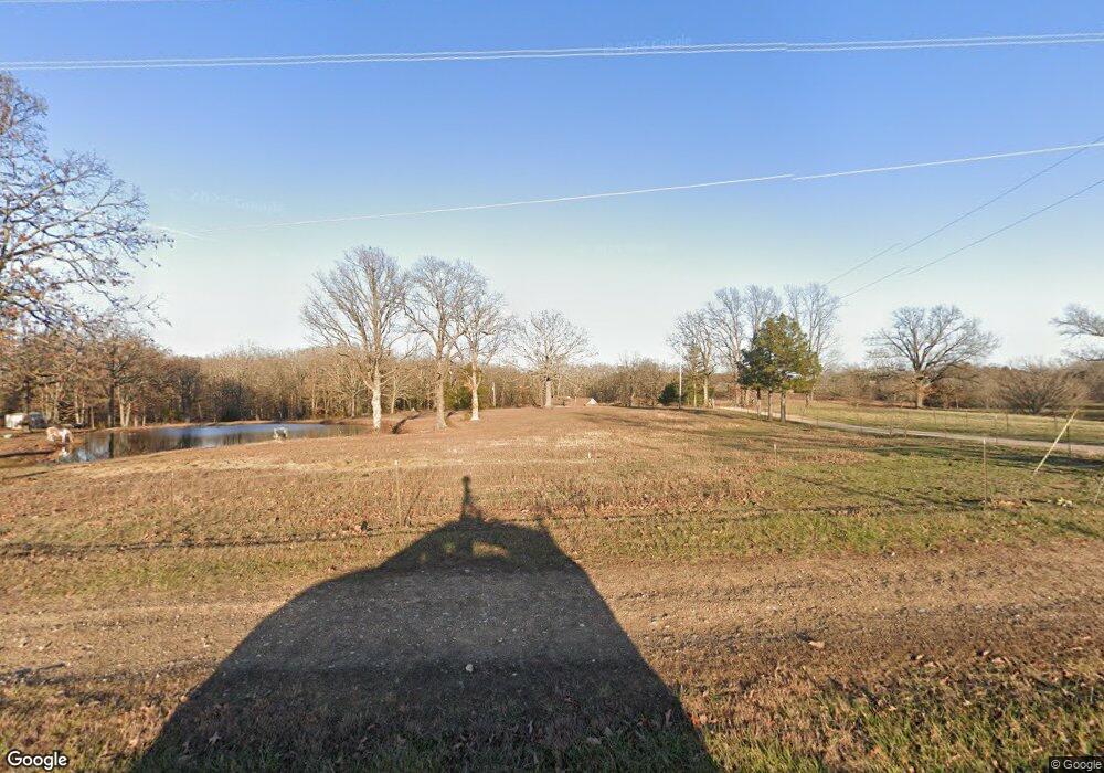
748 State Route Y Mountain View, MO 65548
Estimated Value: $216,102 - $395,000
Studio
--
Bath
1,960
Sq Ft
$155/Sq Ft
Est. Value
About This Home
This home is located at 748 State Route Y, Mountain View, MO 65548 and is currently estimated at $303,026, approximately $154 per square foot. 748 State Route Y is a home with nearby schools including Liberty Senior High School.
Ownership History
Date
Name
Owned For
Owner Type
Purchase Details
Closed on
Dec 2, 2021
Sold by
Collins Randy D and Collins Kathryn E
Bought by
Lafevers Daniel
Current Estimated Value
Home Financials for this Owner
Home Financials are based on the most recent Mortgage that was taken out on this home.
Original Mortgage
$225,000
Outstanding Balance
$206,600
Interest Rate
3.14%
Mortgage Type
New Conventional
Estimated Equity
$96,426
Create a Home Valuation Report for This Property
The Home Valuation Report is an in-depth analysis detailing your home's value as well as a comparison with similar homes in the area
Purchase History
| Date | Buyer | Sale Price | Title Company |
|---|---|---|---|
| Lafevers Daniel | -- | New Title Company Name |
Source: Public Records
Mortgage History
| Date | Status | Borrower | Loan Amount |
|---|---|---|---|
| Open | Lafevers Daniel | $225,000 |
Source: Public Records
Tax History Compared to Growth
Tax History
| Year | Tax Paid | Tax Assessment Tax Assessment Total Assessment is a certain percentage of the fair market value that is determined by local assessors to be the total taxable value of land and additions on the property. | Land | Improvement |
|---|---|---|---|---|
| 2025 | $1,082 | $28,580 | $4,660 | $23,920 |
| 2024 | $1,065 | $25,520 | -- | -- |
| 2023 | $1,065 | $25,520 | -- | -- |
| 2022 | $1,010 | $24,230 | $0 | $0 |
| 2021 | $944 | $24,230 | $0 | $0 |
| 2020 | $944 | $22,580 | $0 | $0 |
| 2019 | $941 | $22,580 | $0 | $0 |
| 2018 | $42 | $22,010 | $0 | $0 |
| 2017 | $919 | $22,010 | $0 | $0 |
| 2015 | -- | $22,010 | $0 | $0 |
| 2014 | -- | $22,010 | $0 | $0 |
| 2013 | -- | $18,910 | $0 | $0 |
Source: Public Records
Map
Nearby Homes
- Tbd State Route Y
- 960 County Road 3030
- 0 County Road 3440
- 000 County Road 3440
- 8651 County Road 3440
- 1301 Deer Park Ln
- Tbd County Road 3940
- 1105 Chowning Dr
- 1211 Stub St
- 8351 US Hwy 60
- 8351 US Highway 60
- 305 Maplewood Ct
- 7645 Highway 60
- 21371 Howell Rd
- 0 Tbd State Route Y
- 401 N Pine St
- 0 Tbd County Road 3940
- 029031000000003 Cr 3200
- 300 E 6th St
- 7876 County Road 3400
- 881 State Route Y
- 808 State Route Y
- 8344 County Road 3680
- 973 State Route Y
- 870 State Route Y
- 930 State Route Y
- 835 County Road 3450
- *** State Route Y
- 0 State Route Y
- 571 State Route Y
- 8392 County Road 3680
- 859 County Road 3450
- 893 County Road 3450
- 857 County Road 3450
- 702 County Road 3450
- 935 County Road 3450
- 487 County Road 3450
- 646 County Road 3450
- 511 County Road 3450
- 566 State Route Y
