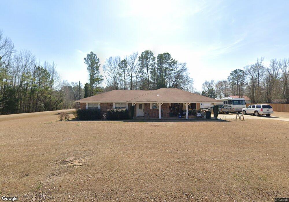
748 Thornton Dr Columbus, MS 39702
Estimated Value: $196,000 - $232,000
3
Beds
2
Baths
1,743
Sq Ft
$123/Sq Ft
Est. Value
About This Home
This home is located at 748 Thornton Dr, Columbus, MS 39702 and is currently estimated at $215,237, approximately $123 per square foot. 748 Thornton Dr is a home located in Lowndes County.
Ownership History
Date
Name
Owned For
Owner Type
Purchase Details
Closed on
Oct 18, 2024
Sold by
Briggs Bobbye B and Chism Bobbye
Bought by
Smith Melissa May
Current Estimated Value
Home Financials for this Owner
Home Financials are based on the most recent Mortgage that was taken out on this home.
Original Mortgage
$171,600
Outstanding Balance
$169,627
Interest Rate
6.35%
Mortgage Type
New Conventional
Estimated Equity
$45,610
Purchase Details
Closed on
Feb 16, 2024
Sold by
Goyer Georgia and Chancellor Melinda
Bought by
Norris Morgan Paige
Create a Home Valuation Report for This Property
The Home Valuation Report is an in-depth analysis detailing your home's value as well as a comparison with similar homes in the area
Purchase History
| Date | Buyer | Sale Price | Title Company |
|---|---|---|---|
| Smith Melissa May | -- | None Listed On Document | |
| Smith Melissa May | -- | None Listed On Document | |
| Norris Morgan Paige | -- | None Listed On Document |
Source: Public Records
Mortgage History
| Date | Status | Borrower | Loan Amount |
|---|---|---|---|
| Open | Smith Melissa May | $171,600 | |
| Closed | Smith Melissa May | $171,600 |
Source: Public Records
Tax History
| Year | Tax Paid | Tax Assessment Tax Assessment Total Assessment is a certain percentage of the fair market value that is determined by local assessors to be the total taxable value of land and additions on the property. | Land | Improvement |
|---|---|---|---|---|
| 2025 | $1,074 | $10,980 | $0 | $0 |
| 2024 | $906 | $9,336 | $0 | $0 |
| 2023 | $926 | $9,584 | $0 | $0 |
| 2022 | $927 | $9,584 | $0 | $0 |
| 2021 | $893 | $9,584 | $0 | $0 |
| 2020 | $844 | $9,584 | $0 | $0 |
| 2019 | $906 | $9,753 | $0 | $0 |
| 2018 | $906 | $9,984 | $0 | $0 |
| 2017 | $307 | $9,984 | $0 | $0 |
| 2016 | $307 | $6,656 | $0 | $0 |
| 2015 | $324 | $6,992 | $0 | $0 |
| 2014 | $324 | $6,992 | $0 | $0 |
Source: Public Records
Map
Nearby Homes
- 611 Thornton Dr
- 76 Richardson Rd
- 479 Bryant Rd
- 1553 Hildreth Rd
- 805 Timber Creek Dr
- 304 Timber Creek Dr
- 346 Williams Place
- 91 Wilson Dr
- 262 Center Rd
- 836 Oswalt Rd
- 164 Sleepy Fawn Park
- 0 E Minnie Vaughn Rd
- 274 Hughes Rd
- 178 Rogers Way
- 248 Lakeover Dr W
- 16 Jenny Ln
- 17 Paige Cove
- 0 Golding Cir
- 59 Savannah St
- 9 Monticello Cir
- 53 Ledsworth Dr
- 141 Ledsworth Dr
- 206 Hildreth Rd
- 721 Thornton Dr
- 696 Thornton Dr
- 230 Hildreth Rd
- 697 Thornton Dr
- 672 Thornton Dr
- 80 Hildreth Rd
- 262 Hildreth Rd
- 126 Hildreth Rd
- 187 Ledsworth Dr
- 83 Thornton Dr
- 155 Thornton Dr
- 660 Thornton Dr
- 6744 Highway 69 S
- 284 Hildreth Rd
- 6766 Highway 69 S
- 171 Thornton Dr
- 640 Thornton Dr
Your Personal Tour Guide
Ask me questions while you tour the home.