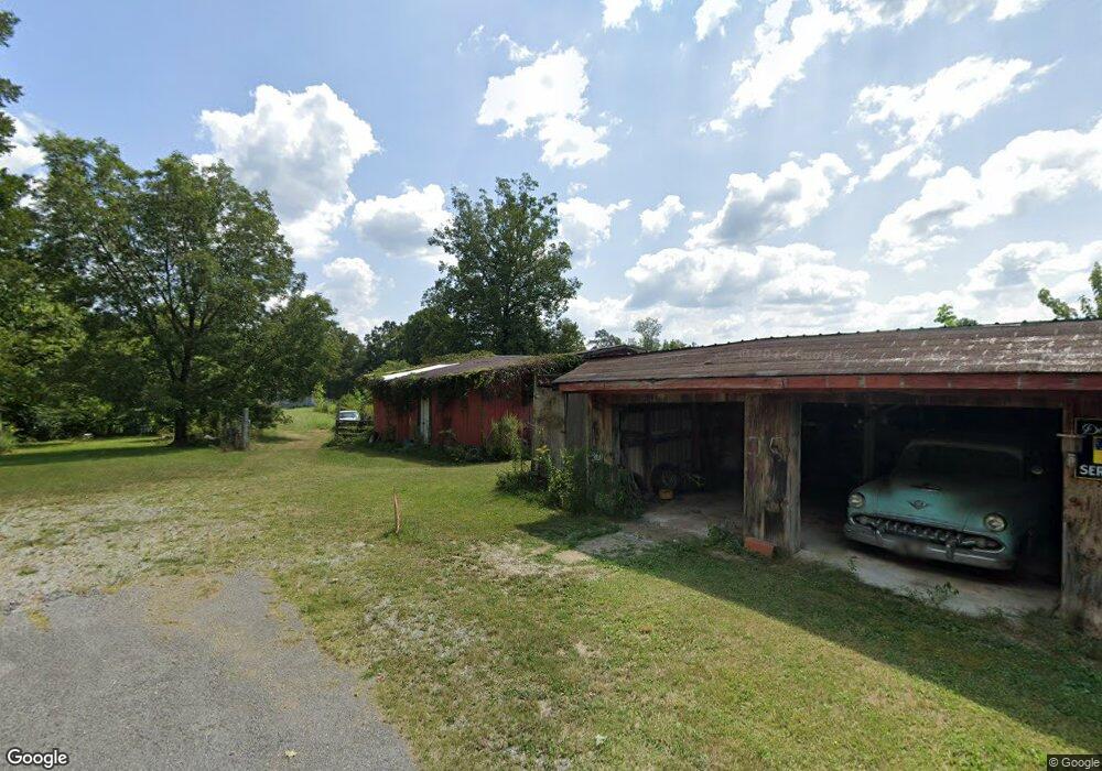
7480 Wolf Pond Rd Cookeville, TN 38506
Estimated Value: $343,000 - $532,000
--
Bed
2
Baths
1,726
Sq Ft
$254/Sq Ft
Est. Value
About This Home
This home is located at 7480 Wolf Pond Rd, Cookeville, TN 38506 and is currently estimated at $439,198, approximately $254 per square foot. 7480 Wolf Pond Rd is a home located in Putnam County with nearby schools including Prescott South Elementary School, Cookeville High School, and Prescott South Middle School.
Ownership History
Date
Name
Owned For
Owner Type
Purchase Details
Closed on
Apr 8, 2025
Sold by
Smith Florence Anne
Bought by
Smith Gantt Cheryl and Gantt Richard W
Current Estimated Value
Purchase Details
Closed on
Nov 5, 2018
Sold by
Smith James
Bought by
Smith Scott and Smith Lindsey
Purchase Details
Closed on
Aug 4, 2009
Sold by
Smith James Michael
Bought by
Smith James H Anne
Purchase Details
Closed on
Jan 8, 1973
Bought by
Smith James H and Smith Ann
Purchase Details
Closed on
Jan 29, 1968
Create a Home Valuation Report for This Property
The Home Valuation Report is an in-depth analysis detailing your home's value as well as a comparison with similar homes in the area
Home Values in the Area
Average Home Value in this Area
Purchase History
| Date | Buyer | Sale Price | Title Company |
|---|---|---|---|
| Smith Gantt Cheryl | -- | None Listed On Document | |
| Sheagren Amy Marie Smith | -- | None Listed On Document | |
| Smith Scott | $16,000 | -- | |
| Smith James H Anne | -- | -- | |
| Smith James H | -- | -- | |
| -- | -- | -- |
Source: Public Records
Tax History Compared to Growth
Tax History
| Year | Tax Paid | Tax Assessment Tax Assessment Total Assessment is a certain percentage of the fair market value that is determined by local assessors to be the total taxable value of land and additions on the property. | Land | Improvement |
|---|---|---|---|---|
| 2024 | $1,366 | $51,350 | $20,350 | $31,000 |
| 2023 | $1,366 | $51,350 | $20,350 | $31,000 |
| 2022 | $1,269 | $51,350 | $20,350 | $31,000 |
| 2021 | $1,269 | $51,350 | $20,350 | $31,000 |
| 2020 | $1,192 | $51,350 | $20,350 | $31,000 |
| 2019 | $1,192 | $40,750 | $18,225 | $22,525 |
| 2018 | $1,112 | $40,750 | $18,225 | $22,525 |
| 2017 | $1,112 | $40,750 | $18,225 | $22,525 |
| 2016 | $1,112 | $40,750 | $18,225 | $22,525 |
| 2015 | $1,112 | $40,750 | $18,225 | $22,525 |
| 2014 | $1,030 | $36,734 | $0 | $0 |
Source: Public Records
Map
Nearby Homes
- 6608 Highway 70 E
- 8631 Monterey Hwy
- 44 acres Sheep Bluff Rd
- 95.43 acre Sheep Bluff Rd
- 0 Sheep Bluff Rd Unit RTC2900265
- 95.43 Sheep Bluff Rd
- 2799 Canada Flatt Rd
- 4595 Poplar Grove Rd
- 1565 Canada Flatt Rd
- 1561 Edgefield Ct
- 6502 Pleasant Ridge Rd
- 3382 Dietz Dr
- 3374 Stafford Dr
- N/A Round Cove Rd
- 0 Round Cove Rd Unit RTC2823787
- 0 Round Cove Rd Unit LotWP001
- 0 Mountain Top Ln
- 3604 Bartlett Dr
- 1940 Karen Cir
- 7469 Wolf Pond Rd
- 7461 Wolf Pond Rd
- 7485 Wolf Pond Rd
- 3699 Shady Ln
- 3374 Shady Ln
- 3330 Shady Ln
- 4153 Shady Ln
- 4275 Welch Rd
- 4301 Shady Ln
- 1.27 Rocky Point Rd
- 7927 Rocky Point Rd
- 4395 Shady Ln
- 8139 Rocky Point Rd
- 7675 Rocky Point Rd
- 5885 E Victory View Dr
- 8281 Rocky Point Rd
- 8283 Rocky Point Rd
- 77.5 AC Welch Rd
- Tract 4 Welch Rd
- Tract 2 Welch Rd