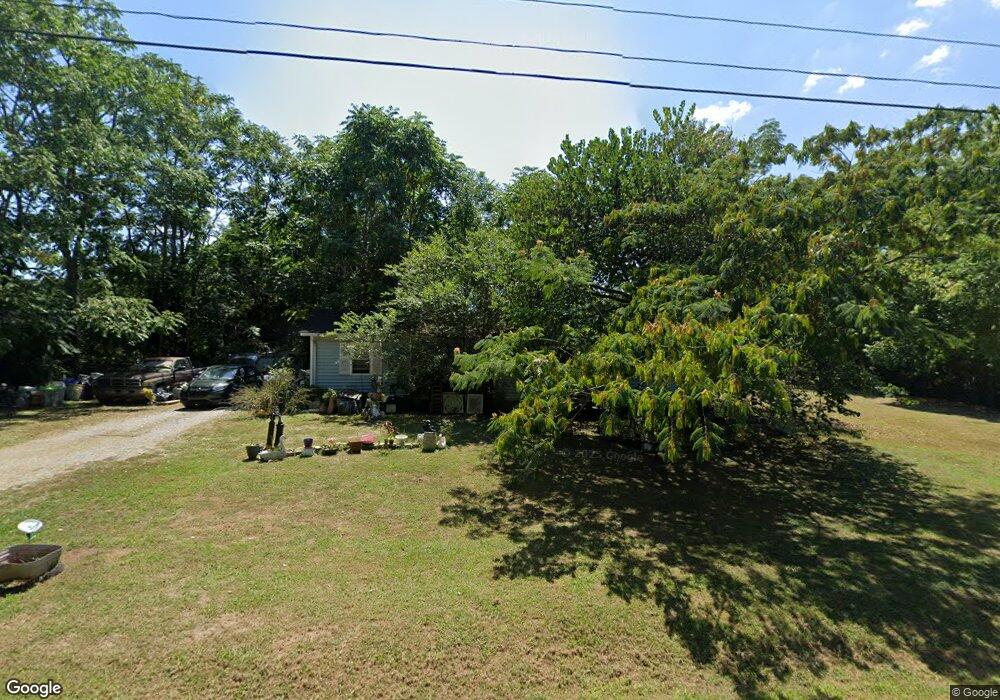
7485 Rocky Point Rd Cookeville, TN 38506
Estimated Value: $235,564 - $242,000
3
Beds
1
Bath
1,212
Sq Ft
$198/Sq Ft
Est. Value
About This Home
This home is located at 7485 Rocky Point Rd, Cookeville, TN 38506 and is currently estimated at $239,521, approximately $197 per square foot. 7485 Rocky Point Rd is a home located in Putnam County with nearby schools including Prescott South Elementary School, Cookeville High School, and Prescott South Middle School.
Ownership History
Date
Name
Owned For
Owner Type
Purchase Details
Closed on
Oct 16, 1992
Current Estimated Value
Purchase Details
Closed on
Oct 23, 1989
Bought by
Kincaid Denise
Purchase Details
Closed on
Oct 21, 1988
Bought by
Kerr Ellis A
Purchase Details
Closed on
Mar 12, 1987
Bought by
Srringer Freddy S and Srringer Denise K
Purchase Details
Closed on
Sep 26, 1980
Bought by
Ford James R and Ford Lucille
Purchase Details
Closed on
Nov 13, 1978
Create a Home Valuation Report for This Property
The Home Valuation Report is an in-depth analysis detailing your home's value as well as a comparison with similar homes in the area
Home Values in the Area
Average Home Value in this Area
Purchase History
| Date | Buyer | Sale Price | Title Company |
|---|---|---|---|
| -- | $24,500 | -- | |
| Ashmore Marsha Dianne | -- | -- | |
| Kincaid Denise | $31,500 | -- | |
| Kerr Ellis A | $31,500 | -- | |
| Srringer Freddy S | $31,600 | -- | |
| Ford James R | -- | -- | |
| -- | -- | -- |
Source: Public Records
Tax History Compared to Growth
Tax History
| Year | Tax Paid | Tax Assessment Tax Assessment Total Assessment is a certain percentage of the fair market value that is determined by local assessors to be the total taxable value of land and additions on the property. | Land | Improvement |
|---|---|---|---|---|
| 2024 | $693 | $26,050 | $6,900 | $19,150 |
| 2023 | $693 | $26,050 | $6,900 | $19,150 |
| 2022 | $644 | $26,050 | $6,900 | $19,150 |
| 2021 | $644 | $26,050 | $6,900 | $19,150 |
| 2020 | $497 | $26,050 | $6,900 | $19,150 |
| 2019 | $497 | $17,000 | $6,900 | $10,100 |
| 2018 | $464 | $17,000 | $6,900 | $10,100 |
| 2017 | $464 | $17,000 | $6,900 | $10,100 |
| 2016 | $464 | $17,000 | $6,900 | $10,100 |
| 2015 | $477 | $17,000 | $6,900 | $10,100 |
| 2014 | $499 | $17,802 | $0 | $0 |
Source: Public Records
Map
Nearby Homes
- 2799 Canada Flatt Rd
- 6608 Highway 70 E
- 8631 Monterey Hwy
- 1565 Canada Flatt Rd
- 4595 Poplar Grove Rd
- 44 acres Sheep Bluff Rd
- 95.43 acre Sheep Bluff Rd
- 0 Sheep Bluff Rd Unit RTC2900265
- 95.43 Sheep Bluff Rd
- 0 Mountain Top Ln
- 510 Green Springs Rd
- 0 Woodcliff Rd
- 167 Parragon Rd
- 3382 Dietz Dr
- 3374 Stafford Dr
- 361 Parragon Rd
- 1561 Edgefield Ct
- 0 Whites Point Dr Unit 239313
- 2100 Pinnacle View
- 488 S Plantation Dr
- 7467 Rocky Point Rd
- 0 Rocky Point
- 3823 Macedonia Cemetery Rd
- 7620 Rocky Point Rd
- 7675 Rocky Point Rd
- 3611 Macedonia Cemetery Rd
- 3600 Macedonia Cemetery Rd
- 127 Rocky Point Rd
- 34 acres Rocky Point Rd
- 2675 Shady Ln
- 3836 Macedonia Cemetery Rd
- 7927 Rocky Point Rd
- 3214 Macedonia Cemetery Rd
- 3130 Macedonia Cemetery Rd
- 3130 Macedonia Cemetery Rd
- 3130 Macedonia Cemetery Rd
- 1.27 Rocky Point Rd
- 3330 Shady Ln
- 4.9 ac Rocky Point Rd
- 15 Ac. Rocky Point Rd