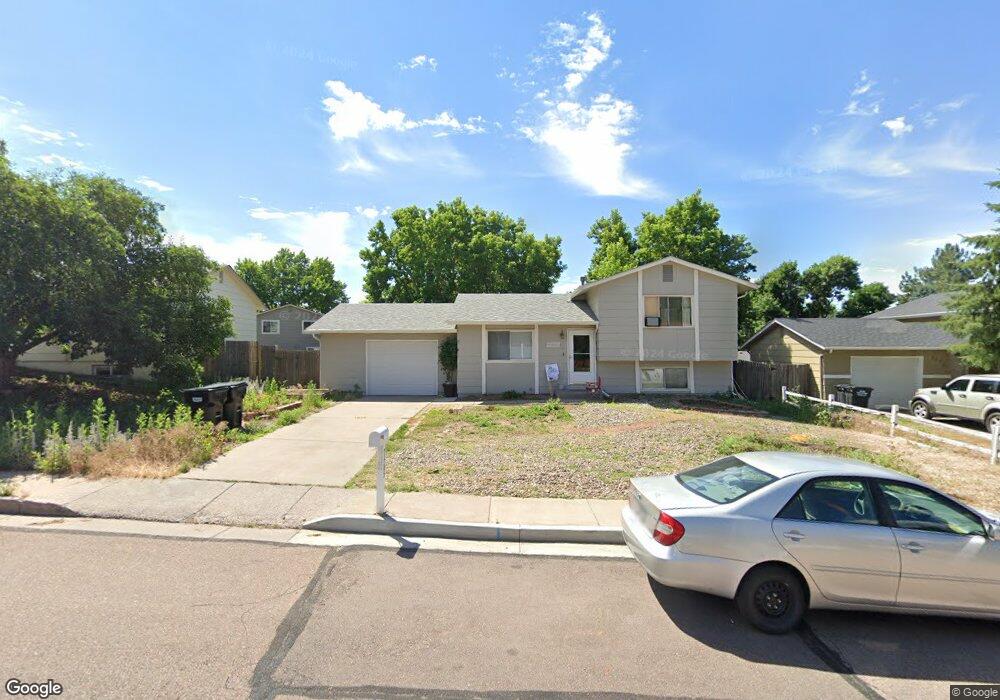
7485 Woodstock St Colorado Springs, CO 80911
Widefield NeighborhoodEstimated Value: $335,964 - $359,000
2
Beds
1
Bath
824
Sq Ft
$417/Sq Ft
Est. Value
About This Home
This home is located at 7485 Woodstock St, Colorado Springs, CO 80911 and is currently estimated at $343,741, approximately $417 per square foot. 7485 Woodstock St is a home located in El Paso County with nearby schools including Sunrise Elementary School, Janitell Junior High School, and Mesa Ridge High School.
Ownership History
Date
Name
Owned For
Owner Type
Purchase Details
Closed on
Jul 20, 2023
Sold by
Denny Darius
Bought by
Woodstock St Cs Llc
Current Estimated Value
Purchase Details
Closed on
Sep 10, 2020
Sold by
Lombardo Barbara Jean
Bought by
Denny Darius
Home Financials for this Owner
Home Financials are based on the most recent Mortgage that was taken out on this home.
Original Mortgage
$306,900
Interest Rate
2.9%
Mortgage Type
VA
Purchase Details
Closed on
Oct 4, 1982
Bought by
Lombardo Barbara J
Purchase Details
Closed on
Oct 1, 1982
Bought by
Lombardo Barbara J
Create a Home Valuation Report for This Property
The Home Valuation Report is an in-depth analysis detailing your home's value as well as a comparison with similar homes in the area
Home Values in the Area
Average Home Value in this Area
Purchase History
| Date | Buyer | Sale Price | Title Company |
|---|---|---|---|
| Woodstock St Cs Llc | $355,700 | None Listed On Document | |
| Denny Darius | $300,000 | Land Title Guarantee Company | |
| Lombardo Barbara J | -- | -- | |
| Lombardo Barbara J | -- | -- |
Source: Public Records
Mortgage History
| Date | Status | Borrower | Loan Amount |
|---|---|---|---|
| Previous Owner | Denny Darius | $306,900 |
Source: Public Records
Tax History Compared to Growth
Tax History
| Year | Tax Paid | Tax Assessment Tax Assessment Total Assessment is a certain percentage of the fair market value that is determined by local assessors to be the total taxable value of land and additions on the property. | Land | Improvement |
|---|---|---|---|---|
| 2025 | $1,324 | $22,000 | -- | -- |
| 2024 | $1,260 | $22,710 | $4,820 | $17,890 |
| 2023 | $1,260 | $22,710 | $4,820 | $17,890 |
| 2022 | $1,053 | $15,100 | $3,410 | $11,690 |
| 2021 | $1,139 | $15,530 | $3,500 | $12,030 |
| 2020 | $430 | $11,510 | $3,070 | $8,440 |
| 2019 | $427 | $11,510 | $3,070 | $8,440 |
| 2018 | $381 | $9,590 | $2,340 | $7,250 |
| 2017 | $385 | $9,590 | $2,340 | $7,250 |
| 2016 | $308 | $9,560 | $2,390 | $7,170 |
| 2015 | $317 | $9,560 | $2,390 | $7,170 |
| 2014 | $278 | $8,460 | $2,390 | $6,070 |
Source: Public Records
Map
Nearby Homes
- 7460 Colonial Dr
- 7423 Colonial Ln
- 7431 Colonial Ln
- 7335 Woodstock St
- 7305 Centennial St
- 7335 Grand Valley Dr
- 7425 Grand Valley Dr
- 7340 Waterwheel St
- 7170 Painted Rock Dr
- 7220 Loveland Ave
- 7150 Stowe Cir
- 6940 Grand Valley Dr
- 7670 Sunny View Ln
- 6880 Corn Tassle Dr
- 6920 Blue River Way
- 7225 Franconia Dr
- 7385 Powderwash Dr
- 7330 Sugarloaf Terrace
- 6770 Brook Forest Dr
- 7242 Coral Ridge Dr
- 7475 Woodstock St
- 7495 Woodstock St
- 7510 Silverdale St
- 7470 Silverdale St
- 7465 Woodstock St
- 7520 Silverdale St
- 7460 Silverdale St
- 7505 Woodstock St
- 7470 Woodstock St
- 7530 Silverdale St
- 7450 Silverdale St
- 7455 Woodstock St
- 7490 Woodstock St
- 7460 Woodstock St
- 7540 Silverdale St
- 7440 Silverdale St
- 7445 Woodstock St
- 7475 Silverdale St
- 7465 Silverdale St
- 7515 Silverdale St