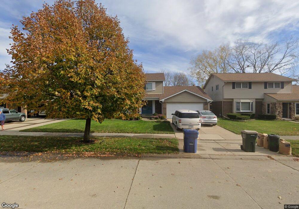
7486 Emerson Dr Canton, MI 48187
Estimated Value: $394,004 - $437,000
Studio
3
Baths
2,058
Sq Ft
$202/Sq Ft
Est. Value
About This Home
This home is located at 7486 Emerson Dr, Canton, MI 48187 and is currently estimated at $416,251, approximately $202 per square foot. 7486 Emerson Dr is a home located in Wayne County with nearby schools including Canton High School, East Middle School, and Salem High School.
Ownership History
Date
Name
Owned For
Owner Type
Purchase Details
Closed on
Jan 16, 2019
Sold by
Horswill Stuart A
Bought by
Horswill Stuart A and Horswill Anita D
Current Estimated Value
Purchase Details
Closed on
Apr 30, 2008
Sold by
Horswill Stuart A
Bought by
Horswill Stuart A
Purchase Details
Closed on
Oct 25, 2005
Sold by
Stump Richard and Stump Anna M
Bought by
Cendant Mobility Financial Corp
Purchase Details
Closed on
Aug 17, 2005
Sold by
Cendant Mobility Financial Corp
Bought by
Horswill Stuart A
Create a Home Valuation Report for This Property
The Home Valuation Report is an in-depth analysis detailing your home's value as well as a comparison with similar homes in the area
Home Values in the Area
Average Home Value in this Area
Purchase History
| Date | Buyer | Sale Price | Title Company |
|---|---|---|---|
| Horswill Stuart A | -- | None Available | |
| Horswill Stuart A | -- | None Available | |
| Cendant Mobility Financial Corp | $245,000 | First American Title | |
| Horswill Stuart A | $245,000 | First American Title | |
| Horswill Stuart A | -- | First American Title |
Source: Public Records
Tax History
| Year | Tax Paid | Tax Assessment Tax Assessment Total Assessment is a certain percentage of the fair market value that is determined by local assessors to be the total taxable value of land and additions on the property. | Land | Improvement |
|---|---|---|---|---|
| 2025 | $1,874 | $179,800 | $0 | $0 |
| 2024 | $1,821 | $169,900 | $0 | $0 |
| 2023 | $1,736 | $154,100 | $0 | $0 |
| 2022 | $3,911 | $131,500 | $0 | $0 |
| 2021 | $3,799 | $133,600 | $0 | $0 |
| 2020 | $3,733 | $130,300 | $0 | $0 |
| 2019 | $3,671 | $122,620 | $0 | $0 |
| 2018 | $1,475 | $117,590 | $0 | $0 |
| 2017 | $3,872 | $113,100 | $0 | $0 |
| 2016 | $3,368 | $112,600 | $0 | $0 |
| 2015 | $8,106 | $100,340 | $0 | $0 |
| 2013 | $7,853 | $86,390 | $0 | $0 |
| 2010 | -- | $87,710 | $42,900 | $44,810 |
Source: Public Records
Map
Nearby Homes
- 43086 Versailles Rd
- 7527 Green Meadow Ln Unit 115
- 42542 Saratoga Rd Unit 26
- 41950 Coventry Way Unit 135
- 7533 Hillsboro Dr
- 42090 Saratoga Cir Unit 53
- 43529 Oakbrook Rd
- 7151 Copper Creek Cir
- 7125 N Lilley Rd
- 44432 Newburyport Dr
- 835 Coldrose Way
- 8887 Morrison Ave
- 6852 New Providence Way Unit 104
- 8830 Northern Ave
- 44570 Tillotson Dr
- 6366 Winter Dr
- 8815 Marlowe Ave
- 6158 Courtland Dr
- 49772 Shoreline Dr
- 5806 Wedgewood Rd
- 7508 Emerson Dr
- 7474 Emerson Dr
- 7520 Emerson Dr
- 7462 Emerson Dr
- 42915 Ryegate St
- 7532 Emerson Dr
- 42914 Ryegate St
- 42929 Ryegate St
- 42928 Ryegate St
- 7546 Emerson Dr
- 42917 Saxony Rd
- 7441 Emerson Dr
- 42941 Ryegate St
- 42940 Ryegate St
- 7426 Emerson Dr
- 42931 Saxony Rd
- 42947 Ryegate St
- 42819 Saxony Rd
- 7429 Emerson Dr
- 42953 Ryegate St
Your Personal Tour Guide
Ask me questions while you tour the home.