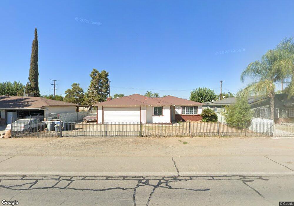
749 Browning Rd Mc Farland, CA 93250
Estimated Value: $287,000 - $414,000
4
Beds
3
Baths
1,426
Sq Ft
$237/Sq Ft
Est. Value
About This Home
This home is located at 749 Browning Rd, Mc Farland, CA 93250 and is currently estimated at $338,126, approximately $237 per square foot. 749 Browning Rd is a home located in Kern County with nearby schools including McFarland High School.
Ownership History
Date
Name
Owned For
Owner Type
Purchase Details
Closed on
Apr 10, 2024
Sold by
Dominguez Linda V Garza
Bought by
Dominguez Linda V Garza and Siador Lorraine
Current Estimated Value
Purchase Details
Closed on
Nov 22, 1993
Sold by
Coker James Donald and Coker Margaret
Bought by
Dominguez Alfonso Cruz and Garza Dominguez Linda V
Home Financials for this Owner
Home Financials are based on the most recent Mortgage that was taken out on this home.
Original Mortgage
$35,000
Interest Rate
7.19%
Create a Home Valuation Report for This Property
The Home Valuation Report is an in-depth analysis detailing your home's value as well as a comparison with similar homes in the area
Home Values in the Area
Average Home Value in this Area
Purchase History
| Date | Buyer | Sale Price | Title Company |
|---|---|---|---|
| Dominguez Linda V Garza | -- | None Listed On Document | |
| Dominguez Alfonso Cruz | $94,000 | Chicago Title Company |
Source: Public Records
Mortgage History
| Date | Status | Borrower | Loan Amount |
|---|---|---|---|
| Previous Owner | Dominguez Alfonso Cruz | $35,000 |
Source: Public Records
Tax History Compared to Growth
Tax History
| Year | Tax Paid | Tax Assessment Tax Assessment Total Assessment is a certain percentage of the fair market value that is determined by local assessors to be the total taxable value of land and additions on the property. | Land | Improvement |
|---|---|---|---|---|
| 2025 | $2,000 | $159,738 | $33,979 | $125,759 |
| 2024 | $1,886 | $156,607 | $33,313 | $123,294 |
| 2023 | $1,886 | $153,537 | $32,660 | $120,877 |
| 2022 | $1,840 | $150,527 | $32,020 | $118,507 |
| 2021 | $1,764 | $147,577 | $31,393 | $116,184 |
| 2020 | $1,708 | $146,065 | $31,072 | $114,993 |
| 2019 | $1,610 | $146,065 | $31,072 | $114,993 |
| 2018 | $1,588 | $140,395 | $29,866 | $110,529 |
| 2017 | $1,547 | $137,643 | $29,281 | $108,362 |
| 2016 | $1,525 | $134,945 | $28,707 | $106,238 |
| 2015 | $1,496 | $132,919 | $28,276 | $104,643 |
| 2014 | $1,431 | $130,317 | $27,723 | $102,594 |
Source: Public Records
Map
Nearby Homes
- 389 Mount Arbor St
- 830 Davis Ave
- 276 San Juan St
- 249 Robertson Ave
- 148 San Lucas St
- 0 W Sherwood Ave Unit 202506495
- 0 W Sherwood Ave Unit 21453658
- 254 E Sherwood Ave
- 0 E Sherwood Ave
- 733 Ensenata Dr
- 450 8th St
- 124 4th Place
- 539 11th St
- 737 Misty Ave
- 805 Price St
- 836 Fletcher St
- 852 Butte St
- 583 Taylor Ave
- 1085 Mast Ave
- 13271 Garzoli Ave
- 739 Browning Rd
- 759 Browning Rd
- 729 Browning Rd
- 769 Browning Rd
- 160 Wildwood Way
- 170 Wildwood Way
- 180 Wildwood Way
- 150 Wildwood Way
- 140 Wildwood Way
- 719 Browning Rd
- 190 Wildwood Way
- 779 Browning Rd
- 130 Wildwood Way
- 200 Brentwood Ct
- 120 Wildwood Way
- 110 Glenwood Ave
- 120 Glenwood Ave
- 175 Wildwood Way
- 210 Brentwood Ct
- 110 Edgewood Ct