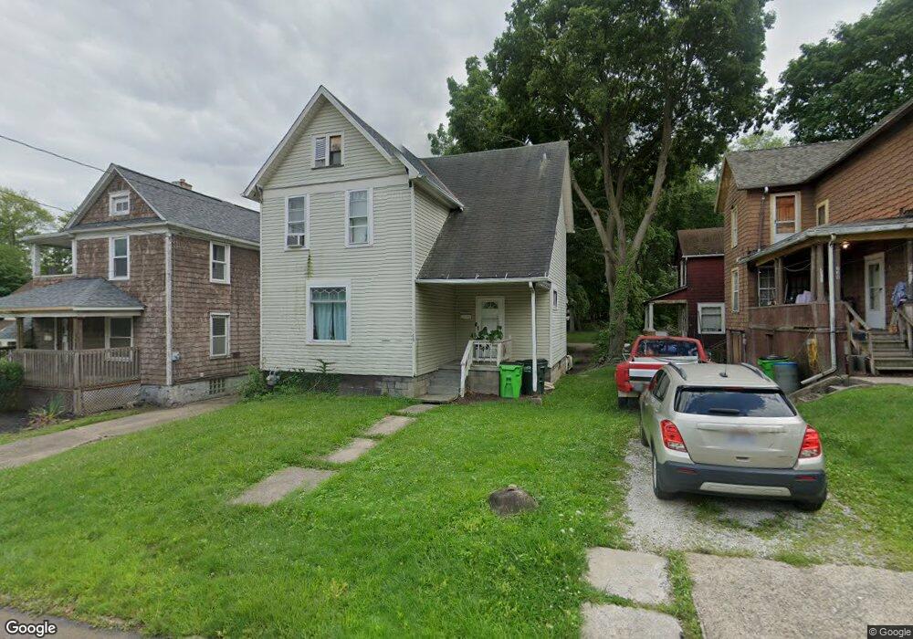
749 E Summit St Alliance, OH 44601
Estimated Value: $68,000 - $74,932
3
Beds
1
Bath
1,248
Sq Ft
$57/Sq Ft
Est. Value
About This Home
This home is located at 749 E Summit St, Alliance, OH 44601 and is currently estimated at $71,733, approximately $57 per square foot. 749 E Summit St is a home located in Stark County with nearby schools including Alliance Intermediate School at Northside, Alliance Elementary School at Rockhill, and Alliance Middle School.
Ownership History
Date
Name
Owned For
Owner Type
Purchase Details
Closed on
Dec 30, 2005
Sold by
Warfel David T
Bought by
Acorn Rentals Iii Ltd
Current Estimated Value
Purchase Details
Closed on
Oct 2, 2001
Sold by
Dickson James F
Bought by
Federal Home Loan Mortgage Corporation
Purchase Details
Closed on
Sep 5, 2001
Sold by
Dickson James F and Dickson Wilda I
Bought by
Federal Home Loan Mortgage Corporation
Create a Home Valuation Report for This Property
The Home Valuation Report is an in-depth analysis detailing your home's value as well as a comparison with similar homes in the area
Home Values in the Area
Average Home Value in this Area
Purchase History
| Date | Buyer | Sale Price | Title Company |
|---|---|---|---|
| Acorn Rentals Iii Ltd | $17,000 | -- | |
| Federal Home Loan Mortgage Corporation | $5,600 | -- | |
| Federal Home Loan Mortgage Corporation | $5,600 | -- |
Source: Public Records
Tax History
| Year | Tax Paid | Tax Assessment Tax Assessment Total Assessment is a certain percentage of the fair market value that is determined by local assessors to be the total taxable value of land and additions on the property. | Land | Improvement |
|---|---|---|---|---|
| 2025 | -- | $10,960 | $3,540 | $7,420 |
| 2024 | -- | $16,670 | $3,540 | $13,130 |
| 2023 | $605 | $14,710 | $3,610 | $11,100 |
| 2022 | $609 | $14,710 | $3,610 | $11,100 |
| 2021 | $611 | $14,710 | $3,610 | $11,100 |
| 2020 | $543 | $12,220 | $3,150 | $9,070 |
| 2019 | $536 | $12,220 | $3,150 | $9,070 |
| 2018 | $539 | $12,220 | $3,150 | $9,070 |
| 2017 | $467 | $10,400 | $2,630 | $7,770 |
| 2016 | $471 | $10,400 | $2,630 | $7,770 |
| 2015 | $475 | $10,400 | $2,630 | $7,770 |
| 2014 | $286 | $5,960 | $2,420 | $3,540 |
| 2013 | $143 | $5,960 | $2,420 | $3,540 |
Source: Public Records
Map
Nearby Homes
- 955 E Summit St
- 442 S Liberty Ave
- 935 S Morgan Ave
- 452 E Summit St
- V/L S Freedom Ave
- 726 S Arch Ave
- 234 Rosenberry St
- 231 Rosenberry St
- 226 Milner St
- 1350 S Freedom Ave
- 361 E Main St
- 847 E Patterson St
- 167 11th St
- 134 11th St
- 46 Rosenberry St
- 1522 Wade Ave
- 834 Devine St
- 807 S Union Ave
- 427 S Union Ave
- 62 E Market St
- 739 E Summit St
- 739 E Summit St
- 729 E Summit St
- 729 E Summit St
- 763 E Summit St
- 729 S Webb Ave
- 735 S Webb Ave
- 720 S Webb Ave
- 708 S Liberty Ave
- 730 S Webb Ave
- 716 S Liberty Ave
- 744 E Summit St
- 740 E Summit St
- 758 E Summit St
- 734 S Webb Ave
- 730 E Summit St
- 766 E Summit St
- 757 S Webb Ave
- 734 S Liberty Ave
- 764 S Webb Ave
Your Personal Tour Guide
Ask me questions while you tour the home.