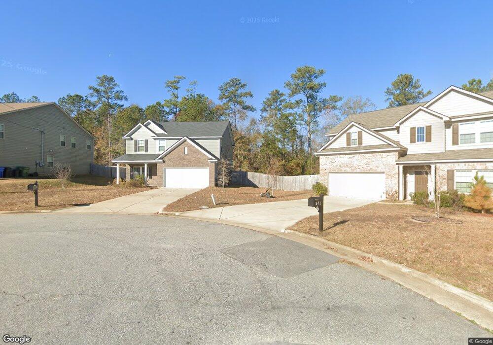
749 Honey Do Ct Columbus, GA 31907
Eastern Columbus NeighborhoodEstimated Value: $280,026 - $309,000
4
Beds
3
Baths
2,332
Sq Ft
$127/Sq Ft
Est. Value
About This Home
This home is located at 749 Honey Do Ct, Columbus, GA 31907 and is currently estimated at $295,757, approximately $126 per square foot. 749 Honey Do Ct is a home located in Muscogee County with nearby schools including Dawson Elementary School, East Columbus Magnet Academy, and Spencer High School.
Ownership History
Date
Name
Owned For
Owner Type
Purchase Details
Closed on
Jul 8, 2021
Sold by
Ash-Grayhawk Llc
Bought by
Norwood Jason and Norwood Christy
Current Estimated Value
Purchase Details
Closed on
May 15, 2020
Sold by
Ash Grayhawk Llc
Bought by
Watkins Shaniece and Gourdine Watkins Tranay
Home Financials for this Owner
Home Financials are based on the most recent Mortgage that was taken out on this home.
Original Mortgage
$195,393
Interest Rate
3.3%
Mortgage Type
VA
Create a Home Valuation Report for This Property
The Home Valuation Report is an in-depth analysis detailing your home's value as well as a comparison with similar homes in the area
Home Values in the Area
Average Home Value in this Area
Purchase History
| Date | Buyer | Sale Price | Title Company |
|---|---|---|---|
| Norwood Jason | $365,700 | None Listed On Document | |
| Norwood Jason | $365,700 | None Listed On Document | |
| Watkins Shaniece | $191,000 | -- |
Source: Public Records
Mortgage History
| Date | Status | Borrower | Loan Amount |
|---|---|---|---|
| Previous Owner | Watkins Shaniece | $195,393 |
Source: Public Records
Tax History Compared to Growth
Tax History
| Year | Tax Paid | Tax Assessment Tax Assessment Total Assessment is a certain percentage of the fair market value that is determined by local assessors to be the total taxable value of land and additions on the property. | Land | Improvement |
|---|---|---|---|---|
| 2025 | -- | $97,464 | $14,652 | $82,812 |
| 2024 | -- | $97,464 | $14,652 | $82,812 |
| 2023 | $0 | $97,464 | $14,652 | $82,812 |
| 2022 | $396 | $78,747 | $14,652 | $64,095 |
| 2021 | $396 | $76,400 | $14,200 | $62,200 |
| 2020 | $598 | $14,652 | $14,652 | $0 |
| 2019 | $393 | $9,600 | $9,600 | $0 |
| 2018 | $393 | $9,600 | $9,600 | $0 |
| 2017 | $395 | $9,600 | $9,600 | $0 |
| 2016 | $660 | $16,000 | $16,000 | $0 |
| 2015 | $661 | $16,000 | $16,000 | $0 |
| 2014 | $662 | $16,000 | $16,000 | $0 |
| 2013 | -- | $16,000 | $16,000 | $0 |
Source: Public Records
Map
Nearby Homes
- 780 Honey Do Ct
- 4965 Brightstar Ln
- 5234 Saint Marys Rd
- 849 Bunker Hill Rd
- 4408 Walking Stick Way
- 4939 Aaron Dr
- 906 Bunker Hill Rd
- 4201 Valley Crest Dr
- 4917 Brightstar Ln
- 4462 Walking Stick Way
- 31 R C Allen Dr
- 1513 Alamo Dr
- 5336 Gettysburg Way
- 300 Jefferson Dr
- 5219 Argonne Dr
- 811 Pheasant Loop
- 59 Apollo Dr
- 4930 Capricorn Ct
- 1210 Bunker Hill Rd
- 1238 Brandywine Dr
- 755 Honey Do Ct
- 743 Honey Do Ct
- 480 Honey Do Ct
- 761 Honey Do Ct
- 756 Honey Do Ct
- 750 Honey Do Ct
- 744 Honey Do Ct
- 767 Honey Do Ct
- 762 Honey Do Ct
- 773 Honey Do Ct
- 768 Honey Do Ct
- 747 Compass Trail Unit 10
- 747 Compass Trail
- 753 Compass Trail Unit 9
- 753 Compass Trail
- 759 Compass Trail Unit 8
- 5228 Eisenhower Ave
- 5232 Eisenhower Ave
- 741 Compass Trail
- 779 Honey Do Ct