Estimated Value: $141,397 - $372,000
1
Bed
1
Bath
480
Sq Ft
$554/Sq Ft
Est. Value
About This Home
This home is located at 7490 S Point Ln, Britt, MN 55710 and is currently estimated at $265,849, approximately $553 per square foot. 7490 S Point Ln is a home located in St. Louis County with nearby schools including Parkview Elementary School and Rock Ridge High School.
Create a Home Valuation Report for This Property
The Home Valuation Report is an in-depth analysis detailing your home's value as well as a comparison with similar homes in the area
Tax History
We collect this data history from publicly available records. To have your information removed, we recommend requesting removal directly through your county’s website.
| Year | Tax Paid | Tax Assessment Tax Assessment Total Assessment is a certain percentage of the fair market value that is determined by local assessors to be the total taxable value of land and additions on the property. | Land | Improvement |
|---|---|---|---|---|
| 2024 | $550 | $102,900 | $51,100 | $51,800 |
| 2023 | $408 | $102,900 | $51,100 | $51,800 |
| 2022 | $582 | $102,900 | $51,100 | $51,800 |
| 2021 | $572 | $88,500 | $44,400 | $44,100 |
| 2020 | $794 | $88,700 | $44,400 | $44,300 |
| 2019 | $670 | $100,000 | $48,100 | $51,900 |
| 2018 | $688 | $100,000 | $48,100 | $51,900 |
| 2017 | $696 | $100,000 | $48,100 | $51,900 |
| 2016 | $644 | $100,000 | $48,100 | $51,900 |
| 2015 | $537 | $65,000 | $32,300 | $32,700 |
| 2014 | $537 | $62,400 | $26,900 | $35,500 |
Source: Public Records
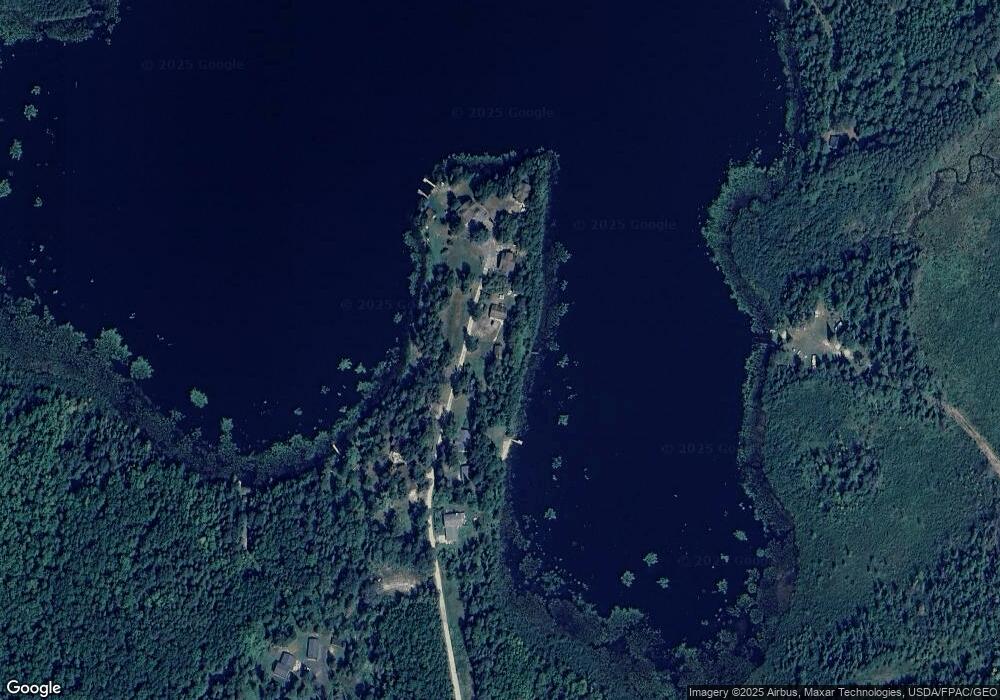
Map
Nearby Homes
- 9290 Osborn Rd
- 9064 Peppard Rd
- 7227 Reinertsen Dr
- 8931 Palm Rd
- 9745 Folsom Rd
- 7428 E Donnywood Cir
- 7838 Lake Fourteen Rd
- 7885 Lake 14 Rd
- TBD N Birch Ridge Rd
- TBD Sherwood Anderson Rd
- 9289 Heino Rd
- 9648 Heino Rd
- 10439 Dark Lake Rd
- 7159 Cranberry Trail
- TBD County Road 308
- 9734 Alango Rd
- 6821 Barrett Rd
- TBD Samuelson Road-Sec22
- tbd Hwy 25
- TBD Samuelson Rd
Your Personal Tour Guide
Ask me questions while you tour the home.