Estimated Value: $510,000 - $727,062
About This Home
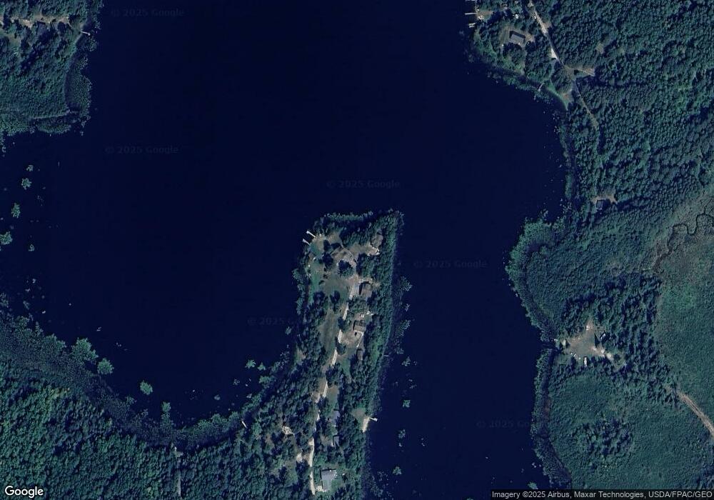
This home is located at 7499 S Point Ln, Britt, MN 55710 and is currently estimated at $643,016, approximately $205 per square foot. 7499 S Point Ln is a home located in St. Louis County with nearby schools including Parkview Elementary School, North Star Elementary School, and Rock Ridge High School.
Ownership History
We collect this data history from publicly available records. To have your information removed, we recommend requesting removal directly through your county’s website.
Purchase Details
Home Financials for this Owner
Home Financials are based on the most recent Mortgage that was taken out on this home.Purchase History
We collect this data history from publicly available records. To have your information removed, we recommend requesting removal directly through your county’s website.
| Date | Buyer | Sale Price | Title Company |
|---|---|---|---|
| $250,000 | -- |
Mortgage History
We collect this data history from publicly available records. To have your information removed, we recommend requesting removal directly through your county’s website.
| Date | Status | Borrower | Loan Amount |
|---|---|---|---|
| Open | $380,000 | ||
| Closed | $417,000 | ||
| Closed | $150,000 | ||
| Closed | $375,000 | ||
| Closed | $50,000 | ||
| Closed | $265,500 | ||
| Closed | $200,000 |
Tax History
We collect this data history from publicly available records. To have your information removed, we recommend requesting removal directly through your county’s website.
| Year | Tax Paid | Tax Assessment Tax Assessment Total Assessment is a certain percentage of the fair market value that is determined by local assessors to be the total taxable value of land and additions on the property. | Land | Improvement |
|---|---|---|---|---|
| 2024 | $7,860 | $603,500 | $156,700 | $446,800 |
| 2023 | $6,268 | $604,600 | $156,700 | $447,900 |
| 2022 | $6,652 | $604,600 | $156,700 | $447,900 |
| 2021 | $6,206 | $514,900 | $133,500 | $381,400 |
| 2020 | $6,222 | $514,900 | $133,500 | $381,400 |
| 2019 | $5,460 | $485,300 | $137,400 | $347,900 |
| 2018 | $5,606 | $485,300 | $137,400 | $347,900 |
| 2017 | $5,644 | $485,300 | $137,400 | $347,900 |
| 2016 | $5,338 | $485,300 | $137,400 | $347,900 |
| 2015 | $3,547 | $440,300 | $131,700 | $308,600 |
| 2014 | $3,547 | $327,700 | $108,200 | $219,500 |
Map
- 9290 Osborn Rd
- 9064 Peppard Rd
- 7227 Reinertsen Dr
- 8931 Palm Rd
- 9745 Folsom Rd
- 7428 E Donnywood Cir
- 7838 Lake Fourteen Rd
- 7885 Lake 14 Rd
- TBD N Birch Ridge Rd
- 7337 Pearson Rd
- TBD Sherwood Anderson Rd
- 9289 Heino Rd
- 9648 Heino Rd
- 10439 Dark Lake Rd
- 7159 Cranberry Trail
- TBD County Road 308
- 9734 Alango Rd
- 6821 Barrett Rd
- TBD Samuelson Road-Sec22
- tbd Hwy 25
- 7490 S Point Ln
- 7478 S Point Ln
- 7477 S Point Ln
- 7470 S Point Ln
- 7527 Matson Rd
- 7521 Matson Rd
- 7531 Matson Rd
- 7516 Matson Rd
- 7533 Matson Rd
- 9229 Biss Rd
- 7541 Matson Rd
- 9196 Ketola Rd
- 9298 Ketola Rd
- 9292 Ketola Rd
- 9232 Ketola Rd
- 9204 Ketola Rd
- 9162 Ketola Rd
- 9250 Ketola Rd
- 9220 Ketola Rd
- 9230 Ketola Rd
Ask me questions while you tour the home.