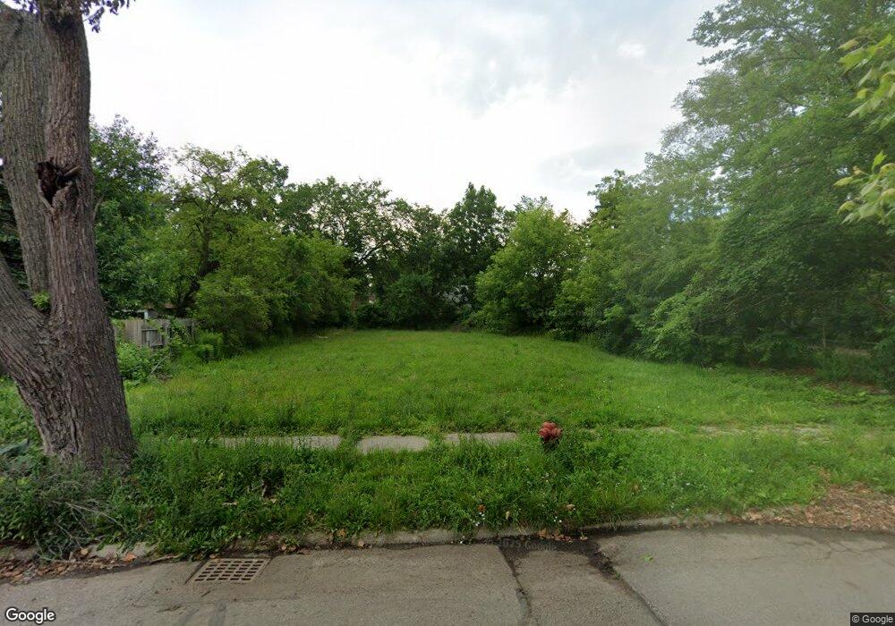
7496 Mansfield St Detroit, MI 48228
Warren Avenue Community NeighborhoodEstimated Value: $65,000 - $106,000
--
Bed
1
Bath
768
Sq Ft
$115/Sq Ft
Est. Value
About This Home
This home is located at 7496 Mansfield St, Detroit, MI 48228 and is currently estimated at $87,976, approximately $114 per square foot. 7496 Mansfield St is a home located in Wayne County with nearby schools including Gardner Elementary School, Charles L. Spain Elementary-Middle School, and Edward 'Duke' Ellington Conservatory of Music and Art.
Ownership History
Date
Name
Owned For
Owner Type
Purchase Details
Closed on
Feb 7, 2013
Sold by
Wayne County Treasurer
Bought by
Planning & Development Dept City Of Detr
Current Estimated Value
Purchase Details
Closed on
Jun 20, 2008
Sold by
Washington Mutual Bank
Bought by
Paramount Land Holdings Llc
Purchase Details
Closed on
Mar 14, 2007
Sold by
Aldhalimi Saleh
Bought by
Washington Mutual Bank and Long Beach Mortgage Co
Purchase Details
Closed on
Jul 7, 2006
Sold by
Alshaibani Nakim and Alshaibani Hakma
Bought by
Alshaibani Nakim
Purchase Details
Closed on
Jan 23, 2004
Sold by
Al Dhalami Nomen
Bought by
Alshaibani Najim
Create a Home Valuation Report for This Property
The Home Valuation Report is an in-depth analysis detailing your home's value as well as a comparison with similar homes in the area
Home Values in the Area
Average Home Value in this Area
Purchase History
| Date | Buyer | Sale Price | Title Company |
|---|---|---|---|
| Planning & Development Dept City Of Detr | -- | None Available | |
| Paramount Land Holdings Llc | $800 | None Available | |
| Washington Mutual Bank | $36,000 | None Available | |
| Alshaibani Nakim | -- | Multiple | |
| Alshaibani Najim | $69,000 | -- |
Source: Public Records
Tax History Compared to Growth
Tax History
| Year | Tax Paid | Tax Assessment Tax Assessment Total Assessment is a certain percentage of the fair market value that is determined by local assessors to be the total taxable value of land and additions on the property. | Land | Improvement |
|---|---|---|---|---|
| 2025 | -- | $0 | $0 | $0 |
| 2024 | -- | $0 | $0 | $0 |
| 2023 | $0 | $0 | $0 | $0 |
| 2022 | $0 | $0 | $0 | $0 |
| 2021 | $0 | $0 | $0 | $0 |
| 2020 | $2,370 | $0 | $0 | $0 |
| 2019 | $2,370 | $0 | $0 | $0 |
| 2018 | $0 | $0 | $0 | $0 |
| 2017 | -- | $0 | $0 | $0 |
| 2016 | $240 | $0 | $0 | $0 |
| 2015 | $2,174 | $0 | $0 | $0 |
| 2013 | $2,174 | $21,744 | $0 | $0 |
| 2010 | -- | $31,155 | $789 | $30,366 |
Source: Public Records
Map
Nearby Homes
- 7337 Saint Marys St
- 7415 Mettetal St
- 7776 Mettetal St
- 7768 Asbury Park
- 16050 Tireman St
- 9101 Forrer St
- 8215 Mansfield St
- 7801 Coleman St
- 7420 Memorial Ave
- 7800 Coleman St
- 7519 Barrie St
- 6857 Woodmont Ave
- 7841 Barrie St
- 7484 Clayburn St
- 7317 Memorial Ave
- 7763 Memorial Ave
- 7309 Memorial Ave
- 8291 Mettetal St
- 7318 Clayburn St
- 7793 Clayburn St
- 7488 Mansfield St
- 7502 Mansfield St
- 7508 Mansfield St
- 7480 Mansfield St
- 7499 Rutherford St
- 7516 Mansfield St
- 7481 Rutherford St
- 7470 Mansfield St
- 7520 Mansfield St
- 7505 Rutherford St
- 7487 Rutherford St
- 7487 Rutherford St
- 7458 Mansfield St
- 7528 Mansfield St
- 7497 Mansfield St
- 7511 Rutherford St
- 7487 Mansfield St
- 7475 Rutherford St
- 7479 Mansfield St
- 7521 Rutherford St