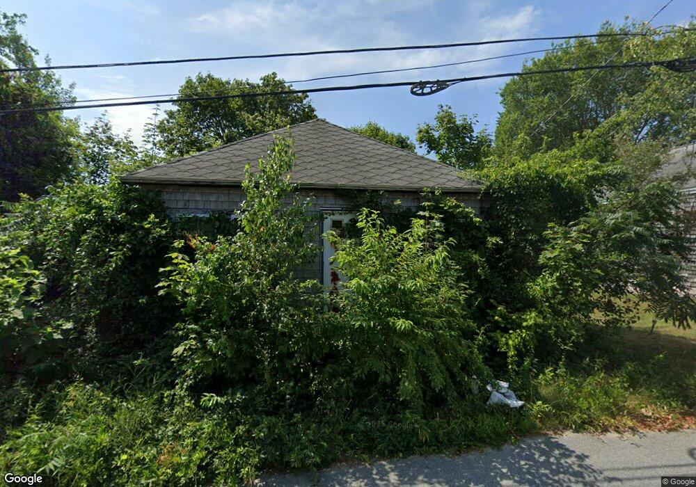
75 Avenue A St Wareham, MA 02571
Estimated Value: $318,105 - $400,000
2
Beds
1
Bath
660
Sq Ft
$534/Sq Ft
Est. Value
About This Home
This home is located at 75 Avenue A St, Wareham, MA 02571 and is currently estimated at $352,276, approximately $533 per square foot. 75 Avenue A St is a home located in Plymouth County.
Create a Home Valuation Report for This Property
The Home Valuation Report is an in-depth analysis detailing your home's value as well as a comparison with similar homes in the area
Tax History
| Year | Tax Paid | Tax Assessment Tax Assessment Total Assessment is a certain percentage of the fair market value that is determined by local assessors to be the total taxable value of land and additions on the property. | Land | Improvement |
|---|---|---|---|---|
| 2025 | $2,603 | $249,800 | $114,300 | $135,500 |
| 2024 | $2,621 | $233,400 | $90,600 | $142,800 |
| 2023 | $2,292 | $203,800 | $78,200 | $125,600 |
| 2022 | $2,292 | $173,900 | $78,200 | $95,700 |
| 2021 | $2,159 | $160,500 | $78,200 | $82,300 |
| 2020 | $2,058 | $155,200 | $78,200 | $77,000 |
| 2019 | $2,057 | $154,800 | $78,900 | $75,900 |
| 2018 | $1,979 | $145,200 | $78,900 | $66,300 |
| 2017 | $1,860 | $138,300 | $78,900 | $59,400 |
| 2016 | $1,759 | $130,000 | $78,900 | $51,100 |
| 2015 | $1,699 | $130,000 | $78,900 | $51,100 |
| 2014 | $1,700 | $132,300 | $74,000 | $58,300 |
Source: Public Records
Map
Nearby Homes
- 12 Oakdale St
- 2 Oakdale St
- 2697 Cranberry Hwy Unit 21
- 2697 Cranberry Hwy Unit 28
- 10 Oak St
- 45 Main St Unit 38
- 2711 Cranberry Hwy
- 2645 Cranberry Hwy Unit A
- 110 Mayflower Ridge Dr
- 2743 Cranberry Hwy Unit 5D
- 156 Sandwich Rd
- 1 Nimrod Way
- 437 Main St
- 12 Linwood Ave
- 10 Longmeadow Dr
- 124 Minot Ave Unit 1
- 15 Broadmarsh Ave
- 7 Cranberry Ln
- 6 Allen Ave
- 2838 Cranberry Hwy
Your Personal Tour Guide
Ask me questions while you tour the home.